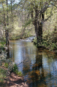
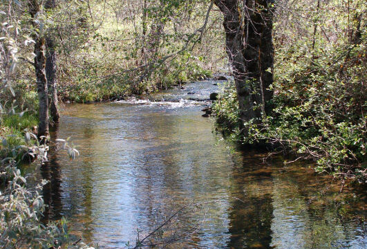
The Traverse Creek Botanical Special Interest Area is a 220 acre reserve out in the country between Georgetown and Placerville in El Dorado County. It is a small valley with serpentine soils and a nice creek, with a number of trails. It isn’t highly developed, but you can find a number of interesting flowers.
Serpentine soils have high levels of minerals like magnesium nickel and chromium. These harsh conditions make it hard for many plants to grow well, but that can create good conditions to a number of wildflowers that can’t compete in other areas.
This valley was mined in the mid 1800’s, mostly by hard rock miners looking for “El Dorado Emeralds”, vesuvenite and chromite. You’ll find piles of broken rock throughout the area, and you do have to watch out for old mine shafts.
Click on any photograph to see a larger image.
The Hike
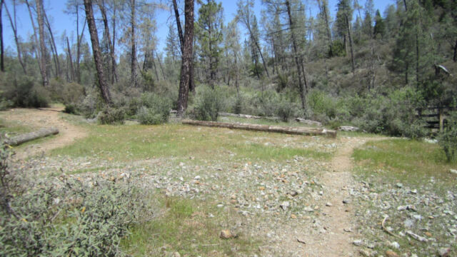
There are a number of trails from the main parking lot – some are well marked at the beginning, but they tend to peter out in the hills. The Stifle Claim trail starts at the north end of the parking lot and runs more or less along Traverse Creek. We found a variety of flowers almost immediately, although most were very small.
I haven’t found a map marking any of the trails in the area, unfortunately.
There is a spur that branches off over a bridge and heads up along the Rock Canyon Creek. This is a cooler trail as you head into the trees. The early portions of the trail along Traverse Creek, as well as the trail along Rock Canyon Creek, are fairly easy and flat.
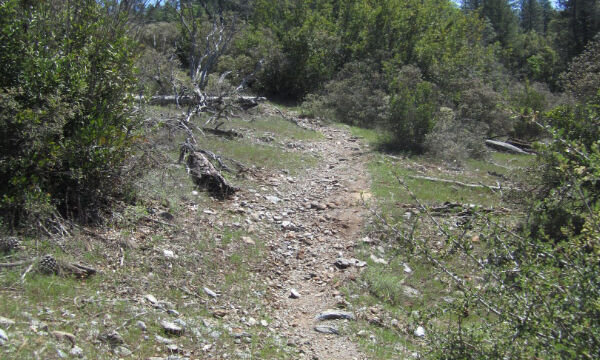
Branching off of the creek trails there are several loops – we followed one up the hill but ended up wandering off the path often, as there were several interesting rock outcroppings with different flowers off to the side of the trail. There were times when we really weren’t sure if we were on a trail or not, but it was easy to loop back to find a more clearly marked trail that led back down the hill. This was a more strenuous climb. You have to look under bushes and in rock crevices to find many of the flowers.
Depending on what loops you take you can easily cover several miles, all while staying within a short distance of Traverse Creek.
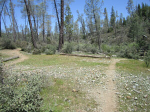
There was another short flat trail heading south from the parking lot that again took you to the creek, under the trees, and then into a nice meadow. This area was still fairly wet and the flowers weren’t out in full bloom yet.
Leaving the parking lot there was a road heading south into a different section of the valley, and there were a number of places to pull out where you might find flowers.
It is an interesting open area where you can just wander (watch for rattlesnakes and mines, although we didn’t find either of these on this visit).
Timing is Everything
We visited this in a year that has lower than normal rainfall, and for an area that has a harsh environment for plants that doesn’t always work well. However, there still was a lot of water in Traverse Creek. You may have to look harder for flowers in these conditions, but they are still there.
We visited this in mid-May just as the weather was getting hot. We didn’t find as many flowers as we had hoped, but if you look off the path under trees and on the rock outcroppings you can find some nice specimens.
The Forest Service website on this location says that early to mid April is a good time to start, with a different selection of flowers available in late May to early June. If you head out there in late May and June you should plan on getting there early in the day before the day heats up.
Directions
To get to Traverse Creek you will continue on Highway 193. Look for Meadowbrook Road on your right, about 9 miles from the Chili Bar Bridge. It is just a small road sign and easy to miss. After 1.4 miles Meadowbrook Road ends at Bear Creek Road. The parking lot for Traverse Creek is near here – turn left on Bear Creek Road and then almost immediately pull into the parking lot at the right.
Other Options in the Area
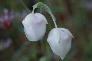
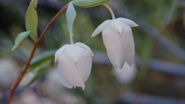
We approached the area from the Placerville side and found quite a few flowers along Highway 193. There were quite a few Fairy Lanterns in the shady spots along the way. In fact, on this particular trip we found more flowers along the road than we did in the hiking area. Slow down, but be careful as there aren’t a lot of good turnouts.
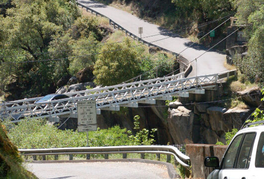
One mile north of the Chili Bar Bridge look for Rock Creek Road on the east side. The Forest Service suggests taking the first five miles of this along the river, and then turning back. You want to head east from this end because that puts you on the side of the winding road that has all the turnouts so you can stop to take pictures. We took this road when we were coming back from Traverse Creek, but things were too dry this year to find many flowers. On a whim, we decided to continue on rather than turning back, following Rock Creek Road for about 10 miles until it meets Mosquito Road. You can follow this another 10 miles back to Placerville along a very winding road. I’m glad we did! The Mosquito Road Bridge across the American River is an old one-way suspension bridge that was very interesting. Just on the other side were several spots to pull out to take pictures, and we found a nice variety of flowers along the way. There were more flowers on this section heading into Placerville than we saw on any other part of the trip.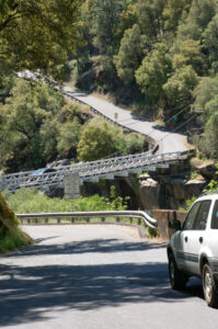
The Flowers
Please feel free to help me with the identification of any “unidentified” flowers listed here, as well as correcting any errors I may make. I’m still working on my list here, and I decided to write this up before I identified everything. Update, special thanks to Sandy Steinman of Natural History Wanderings for his help in identifying some of the flowers that I had originally marked as unknown.
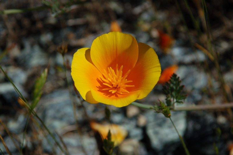
Click on any photograph to see a larger image. I’ll start with a few favorites, and then the “gallery”. All pictures were taken with a Nikkor 18-135mm zoom lens, or a Nikkor 60mm closeup lens.
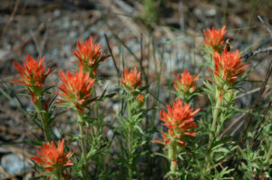
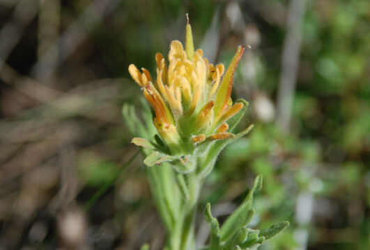
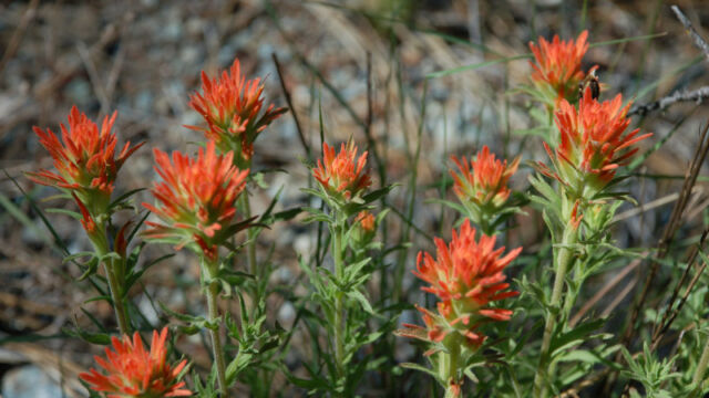
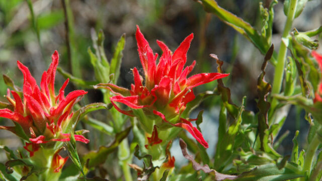
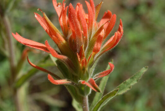
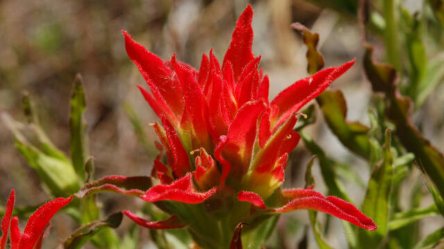
Several different species of Paintbrush were found in the Preserve, both along the creek and up on the hillside.
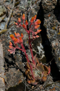
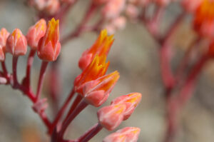
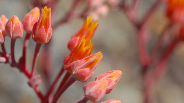
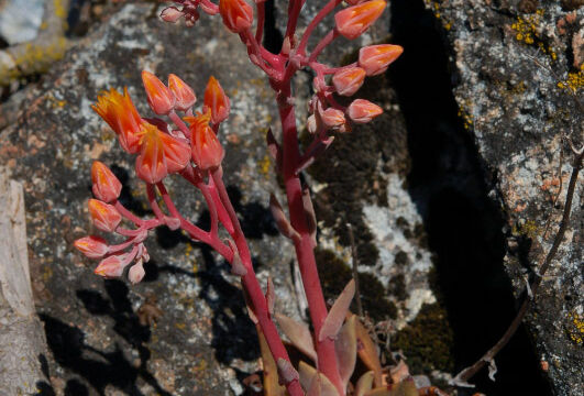
We found quite a few Canyon Liveforever (Canyon Dudleya) on rock outcroppings higher up on the hillside.
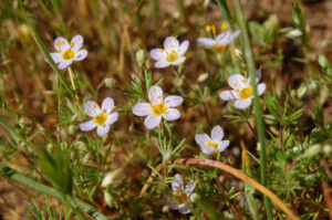
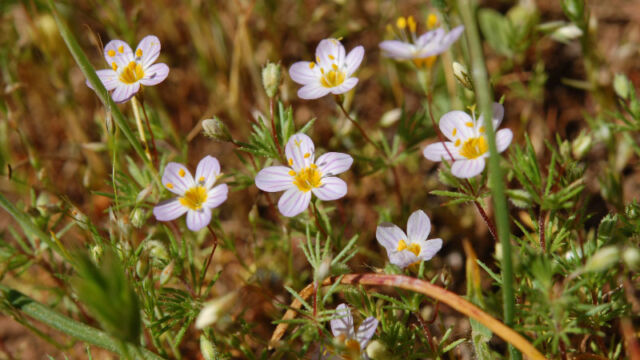
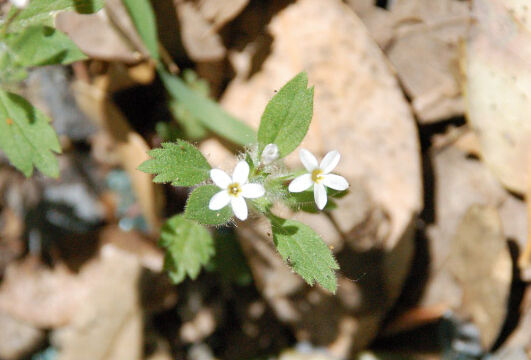
There also are numerous very tiny wildflowers, such as this Thread Linanthus.
The Preserve is fairly harsh and dry (away from the creek), but on Mosquito Road, south of the river, we were able to find flowers a different selection of flowers.
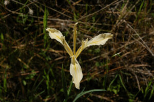
The flowers after the bridge picture were taken on Mosquito Road.
If you click on the lightbox image below you will see larger versions of the photos, and you can scroll through all of the plants (and other things) that we found on this hike. All photos are available for purchase in a variety of formats.
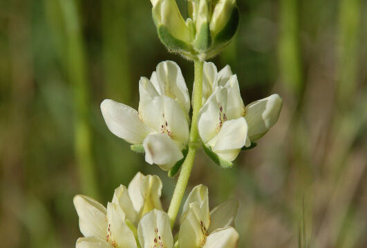
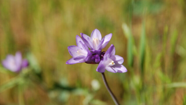
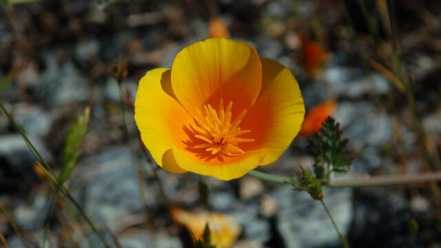
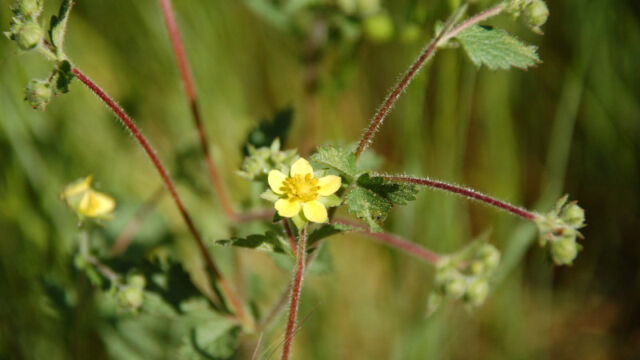
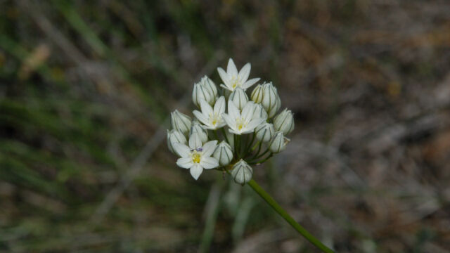
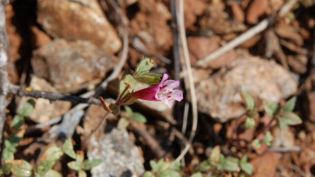
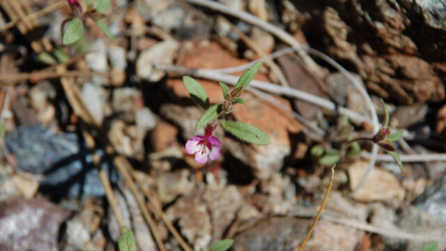
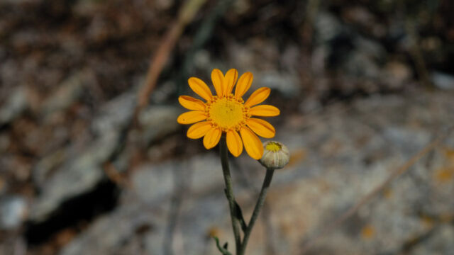
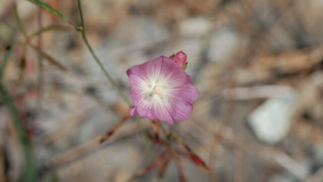
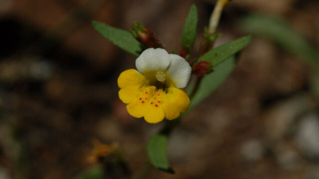
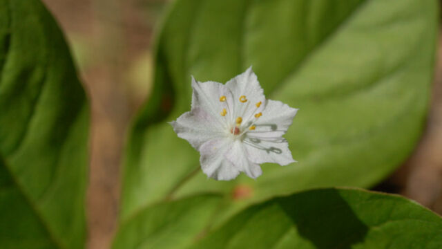
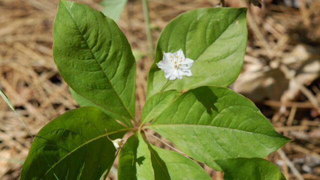
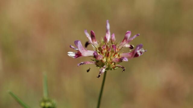
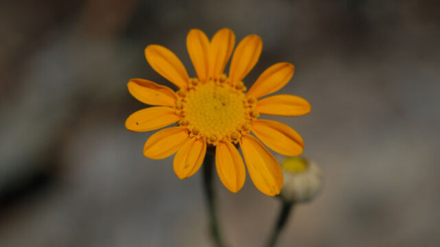
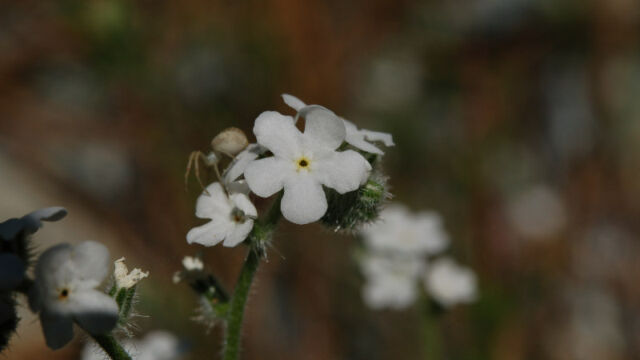
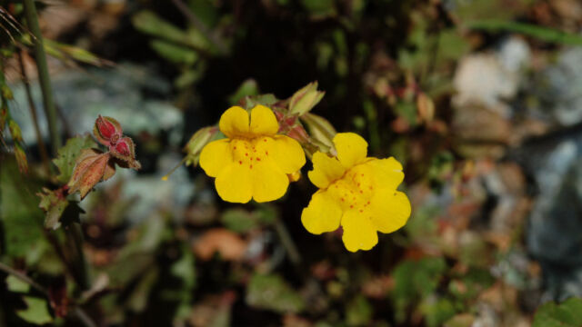
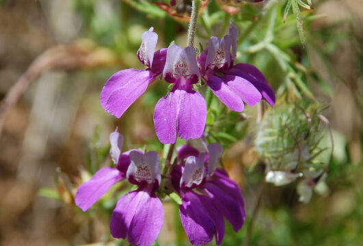
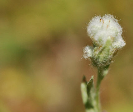
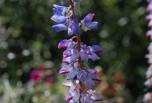
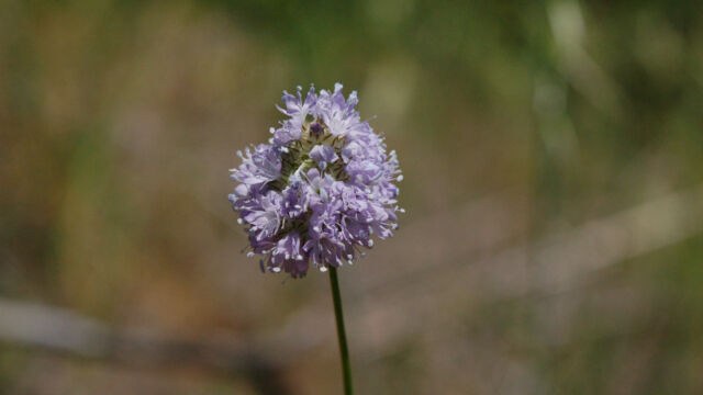
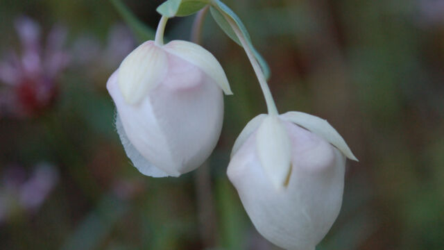
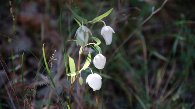
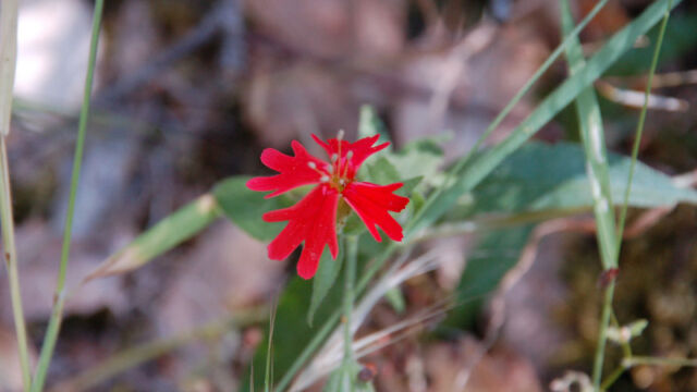
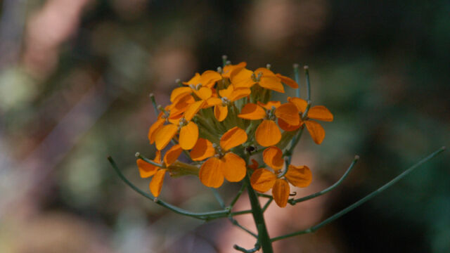
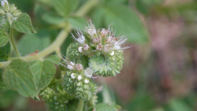
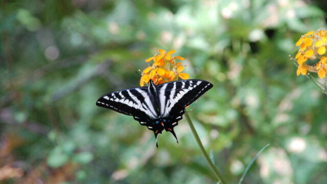
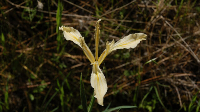
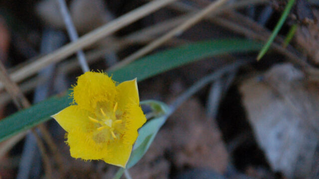
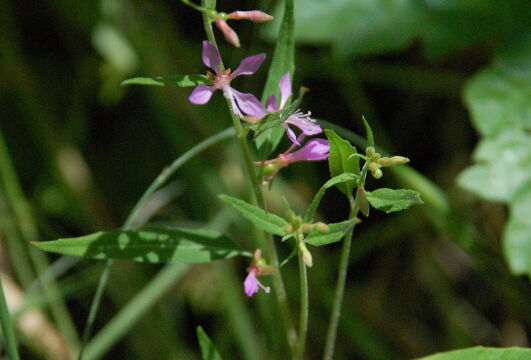
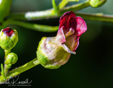
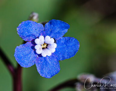
[…] Check out the hike description, bloom information, photos and more information on the area at Traverse Creek Wildflowers. Another interesting but not well know wildflower area. 0.000000 0.000000 To Share Click […]
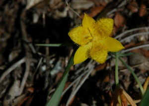
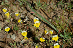
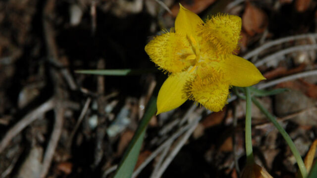
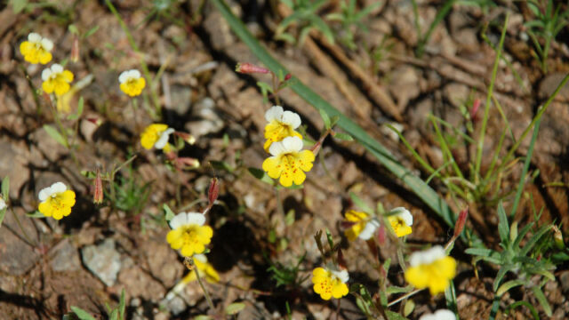
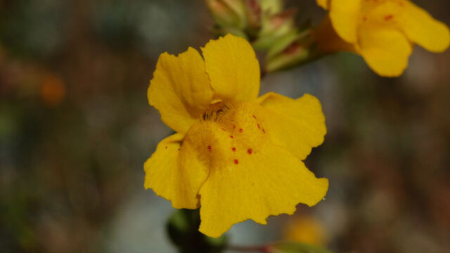
Hello! Based on the write-up above, I am eager to check out the Traverse Creek Botanical Special Interest Area. I’m especially eager to see the Yellow Star Tulip and the Yellow and White Monkeyflower.
I also think that I can help you identify some of the flower images that you have posted.
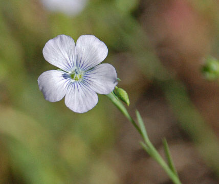
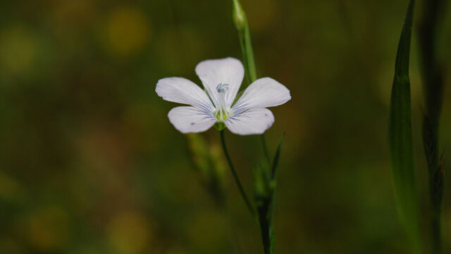
Row 1, Item #1 (also Row 14, Item #1): Not Baby Blue Eyes, but Pale Flax (Linum bienne), a cute non-native flower that has become naturalized in California.
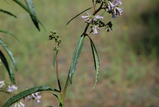
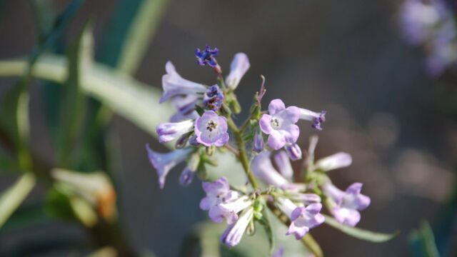
Row 1, Items #2-3: Yerba Santa (Eriodictyon californicum)
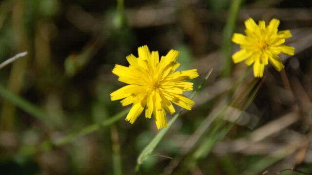
Row 2, Item #2: This one is tricky, because there are a lot of flowers that look similar to this. One possibility is Hairy Cat’s Ear (Hypochaeris radicata).
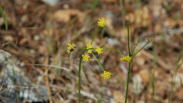
Row 3, Item #1: Probably not a Buckwheat, but Sweet Fennel (Foeniculum vulgare)
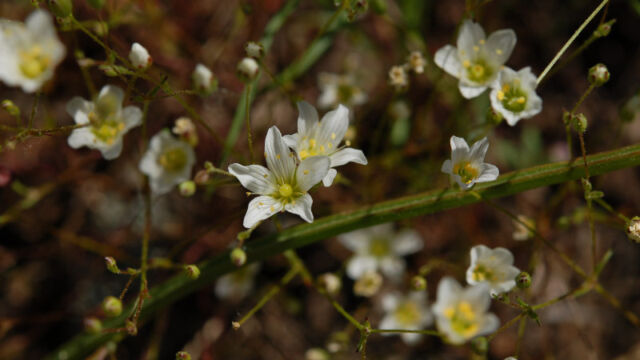
Row 8, Item #3: Sandwort (Minuartia sp.)
Row 11, Item #3: Thread Linanthus (Leptosiphon filipes)
Thank you very much, Philip!
Some of those I did have identified later on, but I hadn’t updated this article. Thank you for pointing that out to me. However, you did help me with several. I’m very grateful.
This year, with the drought (and the heat this week), I’m not sure how good this location will be. If you go there, let us know how it looks.
Also, the Yellow Star Tulip can be found in many locations. A good area to look at is along the Independence Trail near South Yuba River State Park