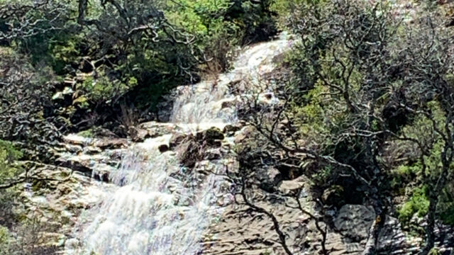
Pierce Canyon is a county road that winds up into the Blue Ridge mountains above Capay Valley. It is a fairly easy 7 mile out-and-back hike along Road 53, with many wildflowers and a view of a waterfall. You get an interesting variety, with different wildflowers blooming in the lower part of the hike than you’ll see further up into the mountains. In addition, the top of the ridge was burned in the County fire (2018), so you get to see how California woodlands respond to big fires.
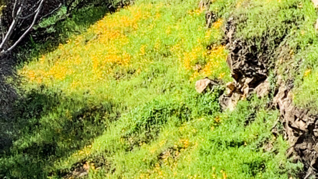
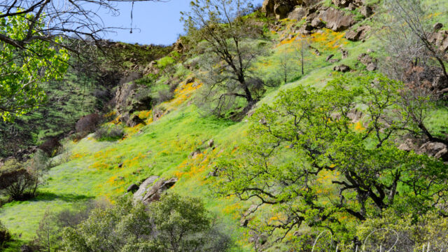
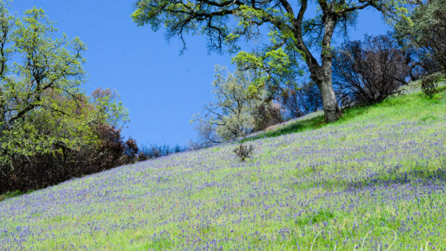
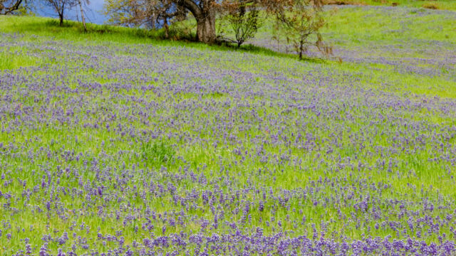
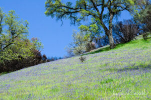 When I first heard of this hike, I didn’t think it sounded very interesting. You are hiking on a gravel road, and according to the information on the Tuleyome website, all of the surrounding territory is privately owned. You have to stay on the road! However, after having visited it, I think that this is one of the best wildflower hikes in the area, and I’m sure I’ll be visiting it again. There is a wonderful variety of native wildflowers right at the road, and views of hillsides covered with Foothill poppies and Sky lupine.
The Flowers
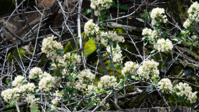
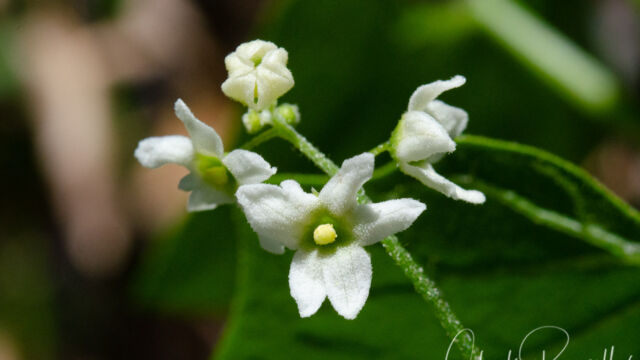
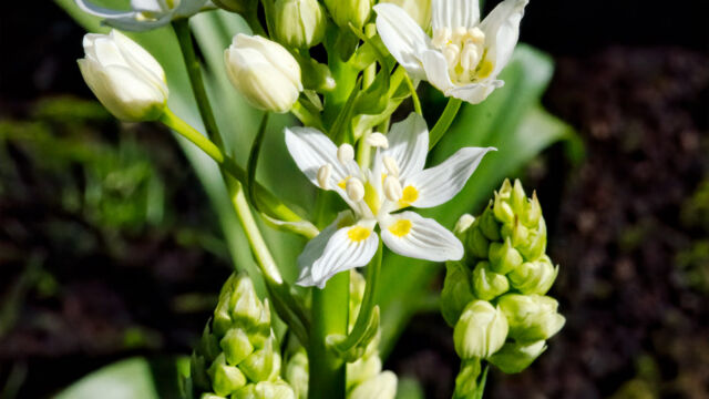
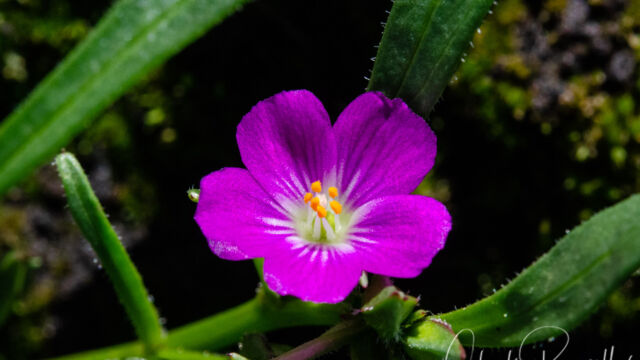
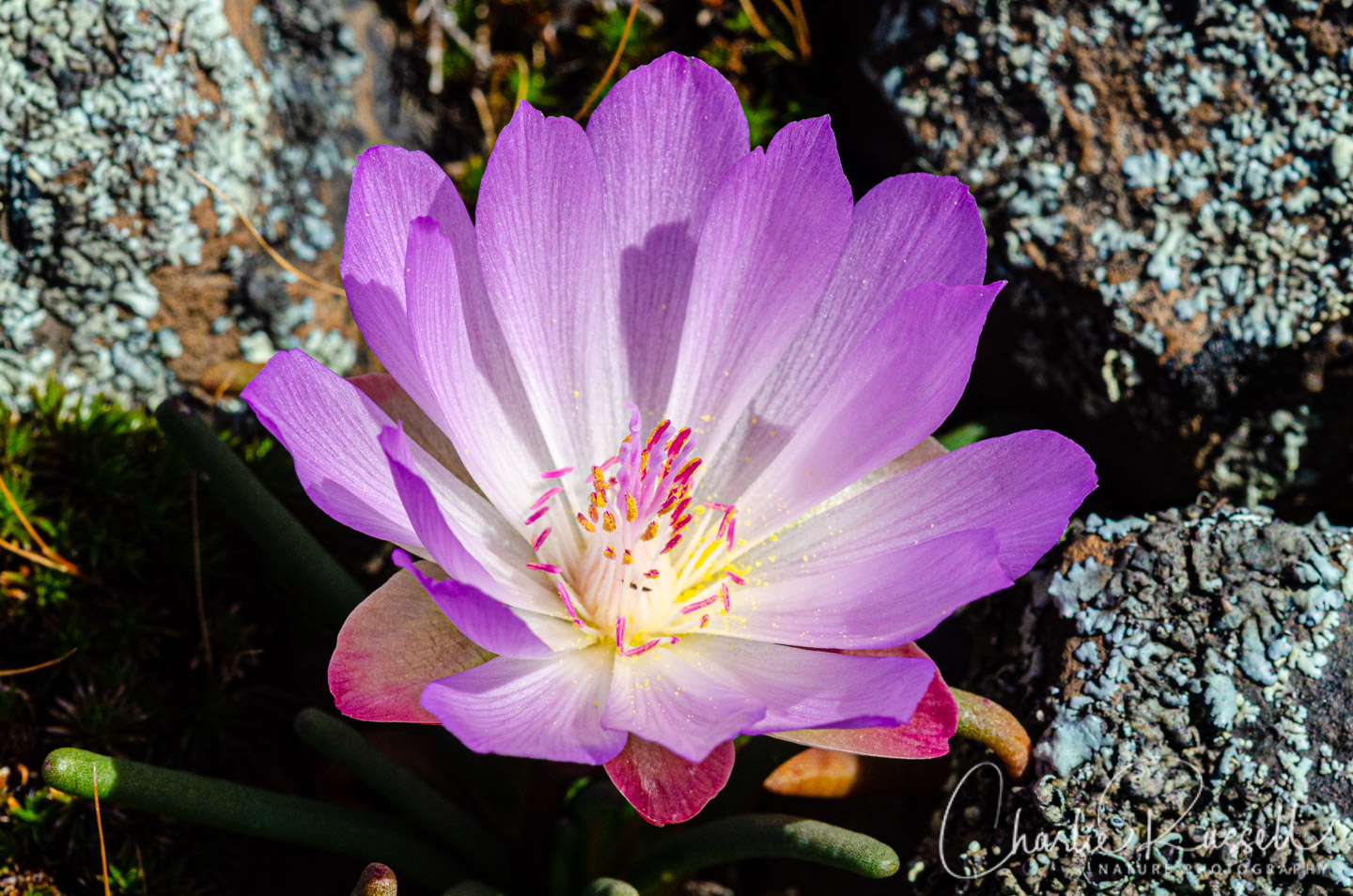
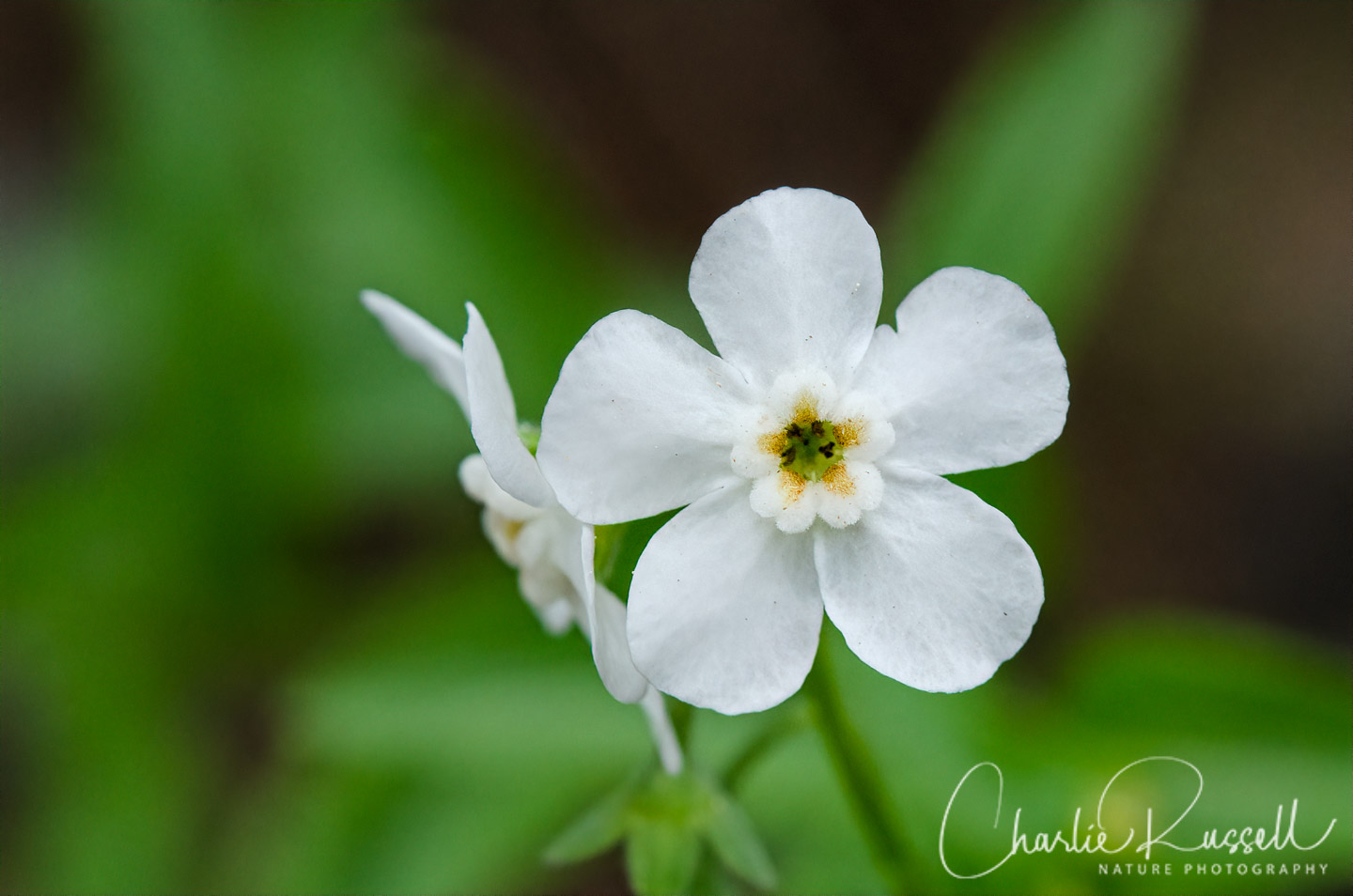
Here’s a sample of a few of my favorites from this hike (click on the image to see a larger view).
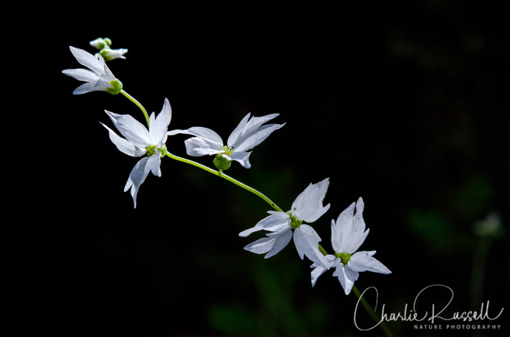
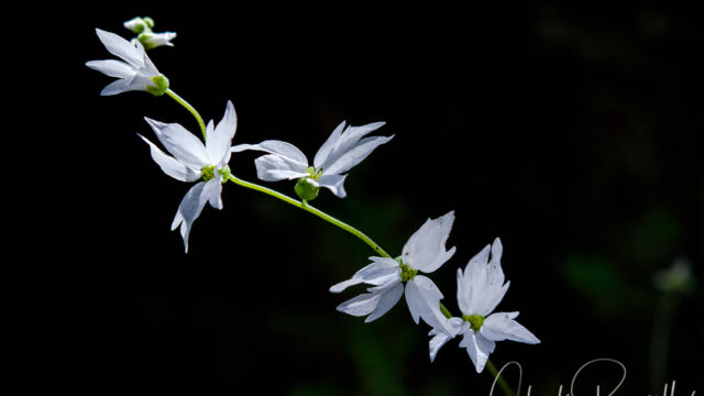
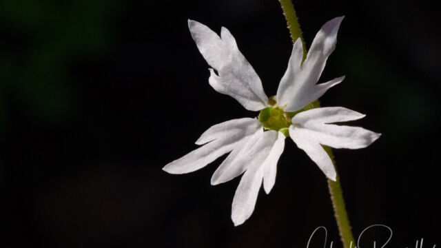
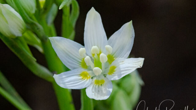
Hillside woodland star is found only in California. It was windy on this hike, and this is a shot of the flower blowing in the wind.
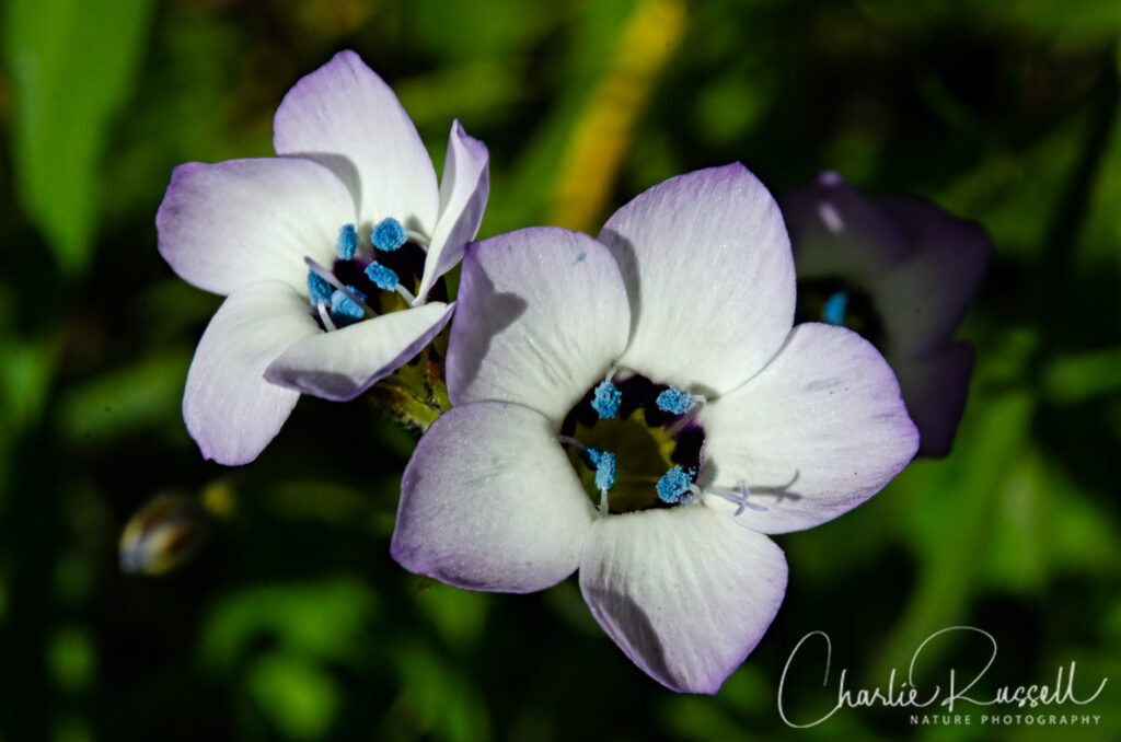
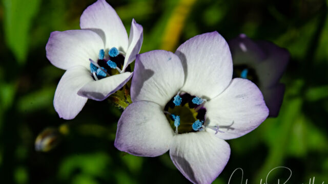
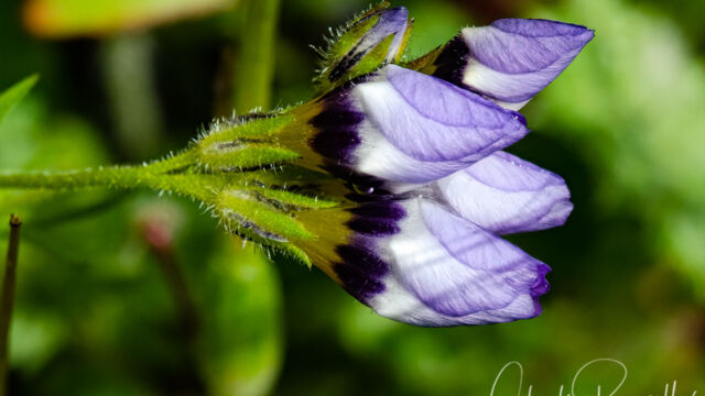
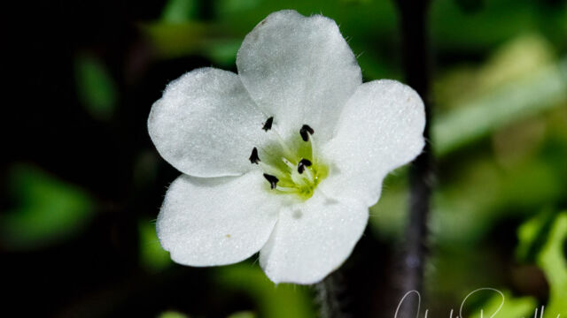
On the lower parts of the trail the Bird’s eye gilia was just starting to bloom. This is another wildflower found only in California, and you have to look close to see the interesting blue pollen.
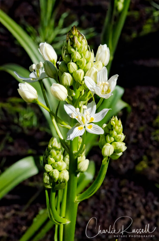
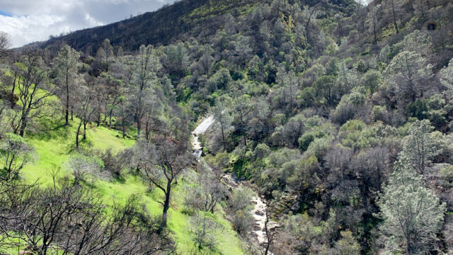
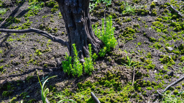
Portions of the ridge were burned in the Canyon fire of 2018, but this hike is on the edge of the burned area. At one curve in the road you could see how the Chamise was all burned away (it will sprout back from the crowns of the plant), and there was a huge number of Fremont’s death camas sprouting in the blackened soil.
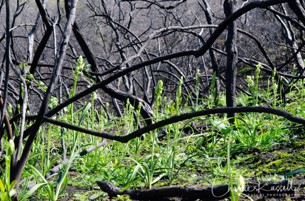
These flowers were just starting to open up.
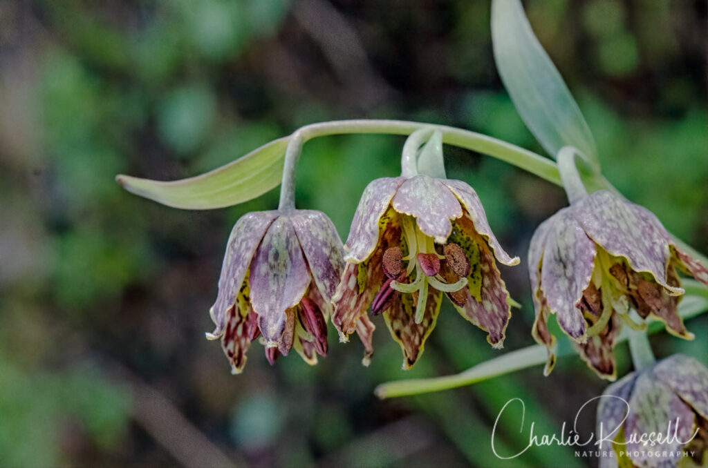
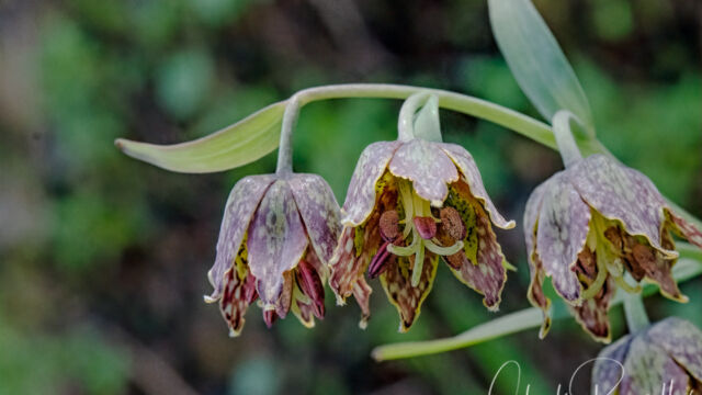
We also found a surprising number of Checker lilies, although they were quite small and hard to photograph due to the wind.
For the best viewing experience, click on the lightbox image below, and you can scroll through larger versions of the photos of many of the plants (and other things) that we found on this hike. All photos are available for purchase in a variety of formats.
The Hike
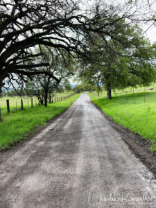 This out-and-back hike is roughly 7 miles round trip if you turn around at the Pierce Canyon Fall viewpoint, with an elevation change of about 1000 feet. We hiked on a weekday and didn’t see a single person. Note that this is cattle country, please don’t harass the cattle (but we didn’t see any cattle this time, either). Stay on the road, as all the surrounding land is private and you need to be respectful.
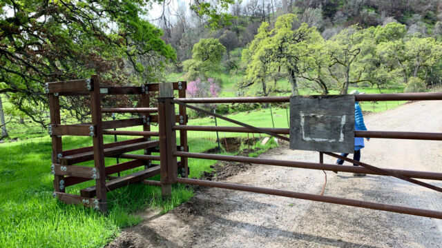
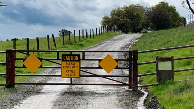
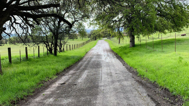
The hike begins with a climb over a gate (I’ll describe this in more detail later), and you walk south along Road 53, which is graveled and fairly broad. Lots of pastureland here, but we did find multiple wildflowers along this section.
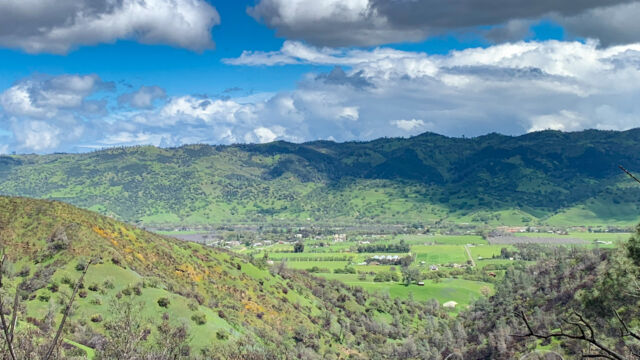
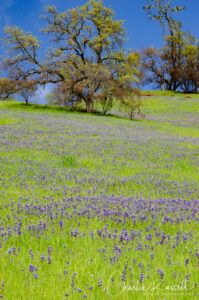
A short distance down the road, it turns west and starts to climb a bit faster. There will be a second gate to cross (thanks to Brycen Wershing, a member of Boy Scout Troop 66, who build an excellent style to cross the gate). The hillsides on your right are covered with flowers, masses of Sky lupine to start with, and higher up you may see bright spots of Foothill poppies. Keep in mind that poppies don’t open up until the sun gets higher (and it gets warmer), so you might not see the golden hills until you are heading back down the road.
Watch both sides of the road, there are different wildflowers all along the way!
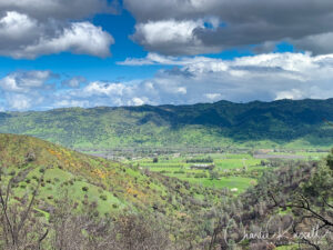
At about the 2 1/4 mile point the road starts to curve back and forth. You’ll start to get to the burn areas. You’ll see a very different collection of wildflowers here. You’ll also get some great views of Capay Valley.
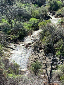
Around 3.5 miles in you’ll see Pierce Canyon Fall on your right. You can’t get close to it, but you have a very good view from the road. This is as far as we went on this hike, but the road does continue several miles past this point.
Here’s the track that we followed:
Pierce Canyon track
Profile
Move your mouse along the elevation graph to show the location on the map. The Refresh icon will re-center the map. The Expand icon will expand to full screen.
Pierce Canyon Directions
Road 53, which leads to Pierce Canyon Fall, is in Yolo County off of Highway 16, in the town of Guinda. Parking is the biggest concern here. One option is to park at the post office in Guinda, on Highway 16, and then cross to the west side of the highway and walk up Road 53 to the gate. Note that this adds roughly 2 miles to your round trip.
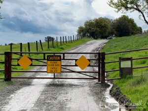
The alternative is to drive southwest on Road 53 until you reach a bend in the road. Just around that bend you’ll see a gate. You can park along the roadside here, but be very careful to not block any driveways or access to the gate. It is best to park before the road curves to the gate, so that there is ample room for local residents to pass when towing trailers. Pay attention to sections marked “no parking”. You also may see numerous “no tresspassing” and “private property” signs along the way, and even on the gates. Note that this is a public road and you have the right to walk along the road. Just don’t wander off away from the road. We saw plenty of wildflowers without having to walk on any private property.
I recommend reviewing the information on the Tuleyome website for details on Road 53 to Pierce Canyon Fall.
There are no restrooms on this hike.
Timing is Everything
We hiked on road 53 in late March of a very rainy year. Lots of rain on the drive up here, but by the time we arrived the rain had stopped and there was a reasonable amount of sun. Temperature was around 62 degrees, but unfortunately it was very windy (gusts up to 20 mph), which did affect my flower photography. Everything was green and beautiful, and the Foothill poppies popped open in the afternoon sun. Even though it had just rained and the road had a lot of water, we didn’t get muddy because the road is in great shape and was well-graveled.
We found shooting stars in the high areas, which are an early-season flower, and later season flowers in the lower areas. I’m guessing that the wildflower season is going to be fairly long, from March through May, although it is going to get warmer later in the season.
Pierce Canyon Wildflowers
Here’s a listing of the native plants that we found on this visit. The ones listed in color are endemic to California (that is, found only in California).
- Arroyo lupine, Lupinus succulentus
- Blue dicks, Dipterostemon capitatus subsp. capitatus (formerly Dichelostemma capitatum ssp. capitatum)
- Bird’s eye gilia, Gilia tricolor ssp. tricolor
- Buck brush, Ceanothus cuneatus
- California man-root, Marah fabacea
- Canyon nemophila, Nemophila heterophylla
- Checker lily, Fritillaria affinis
- Chilean trefoil, Acmispon wrangelianus
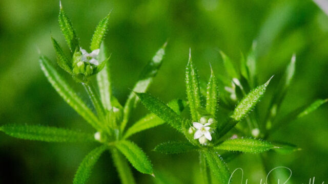
- Common bedstraw, Galium aparine
- Common phacelia, Phacelia distans
- Foothill poppy, Eschscholzia caespitosa
- Fremont’s death camas, Toxicoscordion fremontii
- Fringe pod, Thysanocarpus curvipes
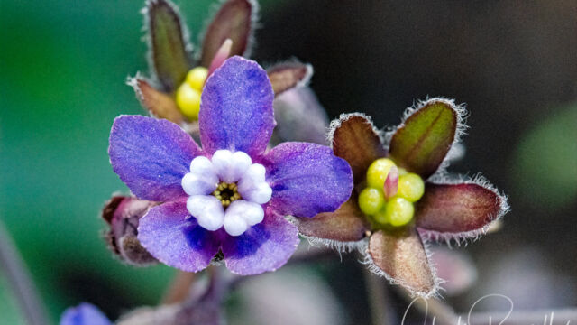
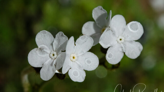
- Grand hound’s tongue, Cynoglossum grande
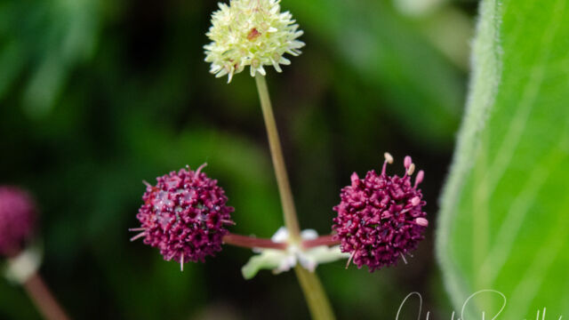
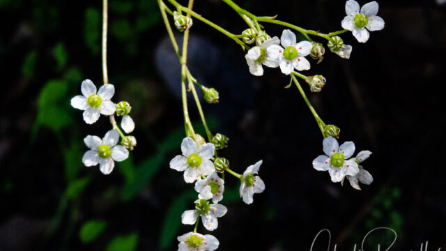
- Greene’s saxifrage, Micranthes californica
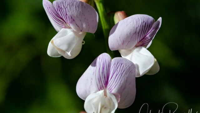
- Hillside pea, Lathyrus vestitus var. vestitus
- Hillside woodland star, Lithophragma heterophyllum
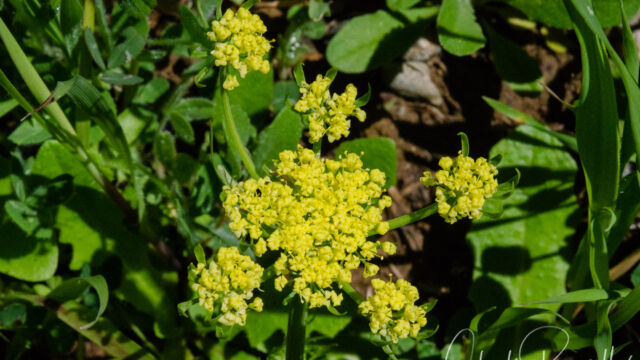
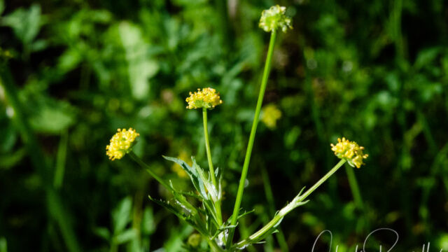
- Hog fennel, Lomatium dasycarpum
- Ithuriel’s spear, Triteleia laxa
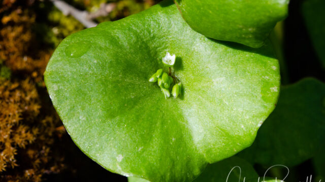
- Miner’s lettuce, Claytonia perfoliata
- Mosquito bill, Primula hendersonii
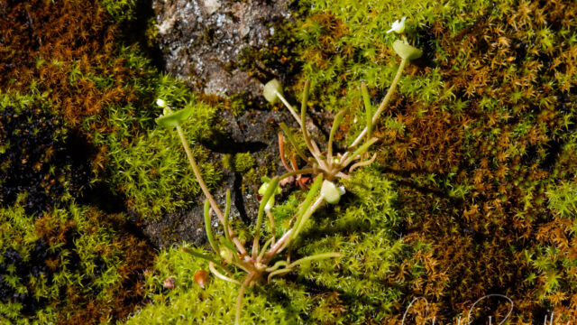
- Narrow leaved miner’s lettuce, Claytonia parviflora
- Narrow leaf mule ears, Wyethia angustifolia
- Posion Oak, Toxicodendron diversilobum
- Poison sanicle, Sanicula bipinnata
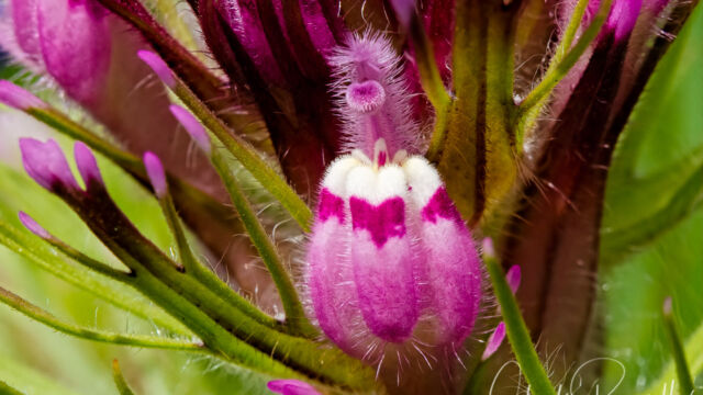
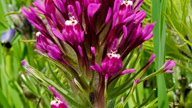
- Purple owl’s clover, Castilleja exserta
- Purple sanicle, Sanicula bipinnatifida
- Red maids, Calandrinia menziesii
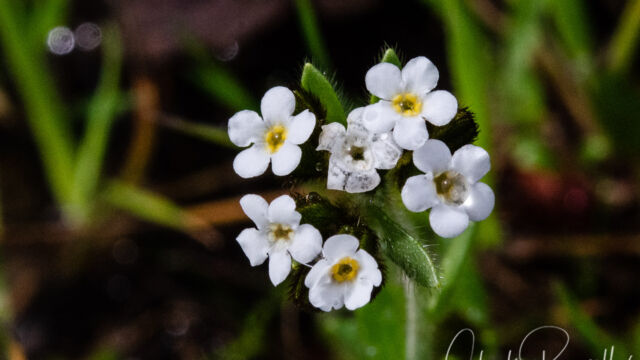
- Rusty popcornflower, Plagiobothrys nothofulvus
- Sea blush, Plectritis congesta
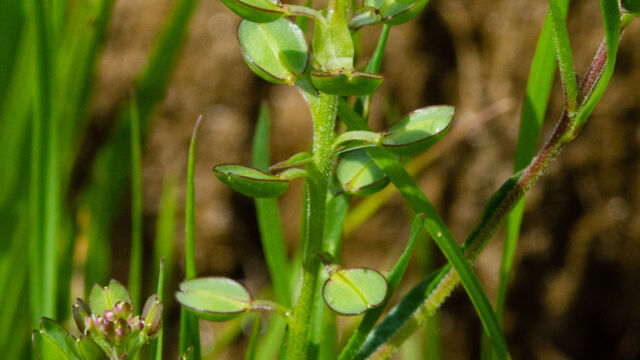
- Shining peppergrass, Lepidium nitidum
- Silver bush lupine, Lupinus albifrons
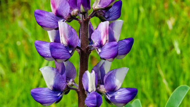
- Sky lupine, Lupinus nanus
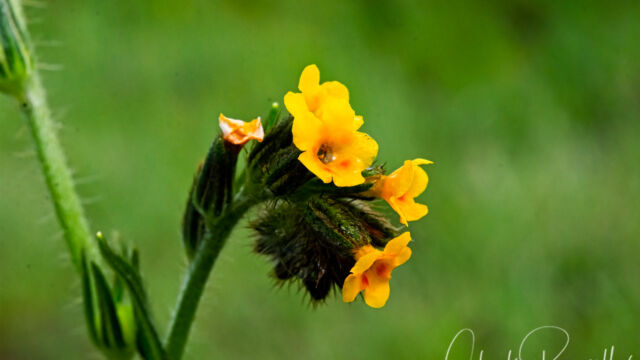
- Small flowered fiddleneck, Amsinckia menziesii
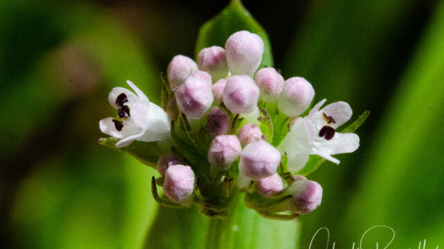
- Valley popcornflower, Plagiobothrys canescens
- Warrior’s plume, Pedicularis densiflora
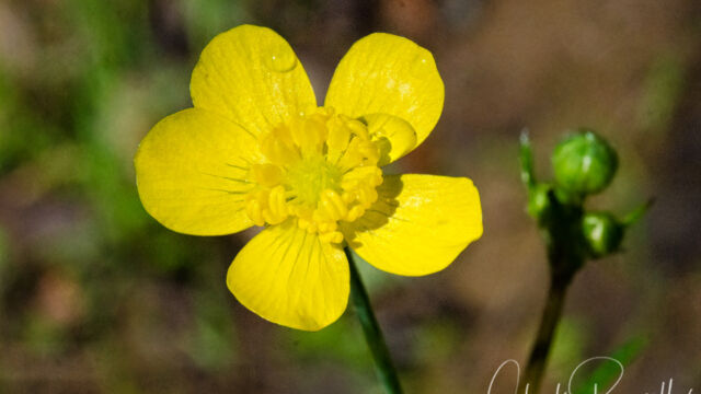
- Western buttercup, Ranunculus occidentalis
- Western redbud, Cercis occidentalis
- Woolly indian paintbrush, Castilleja foliolosa
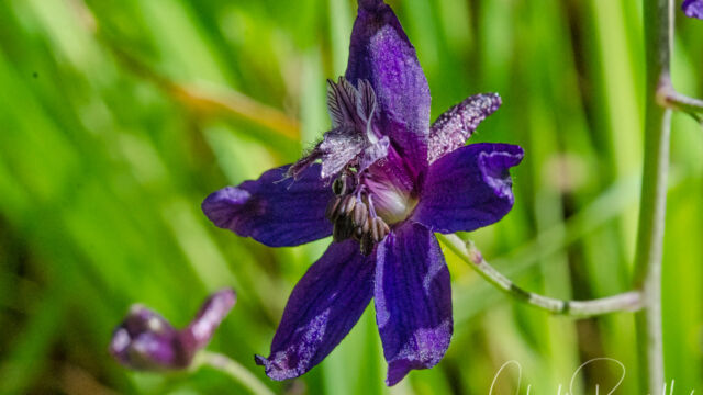
- Zigzag larkspur, Delphinium patens ssp. patens
The following are non-native plants that we found on the hike as well:
- Chickweed, Stellaria media
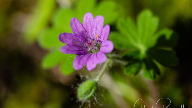
- Dove’s foot geranium, Geranium molle
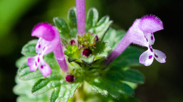
- Henbit deadnettle, Lamium amplexicaule
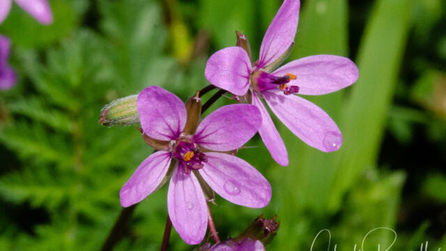
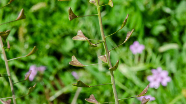
- Red stemmed filaree, Erodium cicutarium
- Shepherd’s purse, Capsella bursa-pastoris
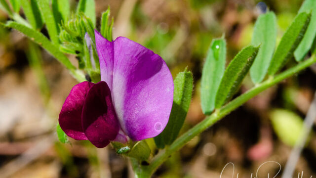
- Spring vetch, Vicia sativa



















It was great to find an alert to this posting in my mail at 4 am while I was preparing to leave home for a hike at this same location. Beautiful photographs and an excellent reference. Thank you!
Great timing! Let us know how the hike went for you
I hiked the High Bridge trail, which starts from Hwy 16 about 10 mis west of Guinda. Very pleasant hike and worth it just for the warrior’s plume