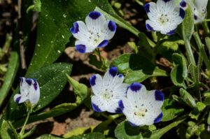
Even in drought years you can find amazing displays of wildflowers in the Sierras. Lyons Creek Trail, in Eldorado National Forest (off of Highway 50) is a fun trail that offers a wide variety of flowers in a relatively accessible site. It’s an out-and-back trail, so you can choose how difficult you want it to be – anything from an easy short stroll to some meadows to an energetic hike to an alpine lake. We visited the area in late June 2015, and found almost 50 species of wildflowers!
Note: Click on any photograph to see a larger image.
The Hike
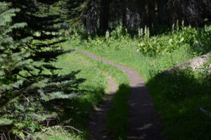
We started at the trailhead on Wrights Lake Road, which is just about 4 miles off of Highway 50 (directions below). The starting elevation is about 6700 feet. I almost didn’t get out of the parking lot as there were many interesting flowers right there! The trail heads northeast, paralleling Lyons Creek. Note that you need to fill out a Desolation Wilderness permit at the trailhead for a day-hike (it is free).
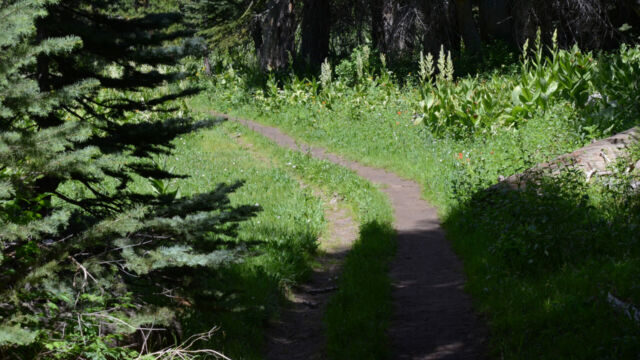
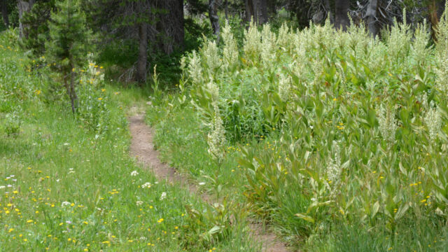
The track starts off as a narrow dirt road, and you pass through a series of small meadows. Each one seemed to have a different collection of flowers. Eventually it changes to a narrow track, and you do cross some areas that can be wet. This time we didn’t run into any problems, but earlier in the year you can expect a bit of mud.
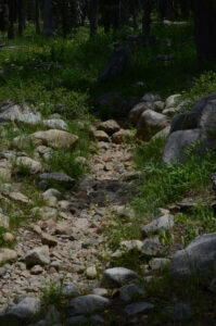
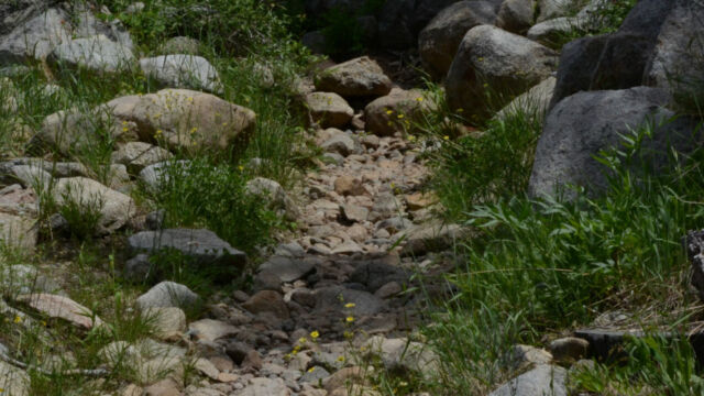
After a mile or so it starts to get a bit rocky, and we were glad that we brought our trekking poles for balance. But, you aren’t clambering over boulders, and the grade is fairly gradual.
This year we stopped at about the 2.5 mile mark (7100 ft. elevation), making our round trip about 5 miles as shown on the map below. You can continue on to several different lakes – the branches in the trail are clearly marked. Lake Sylvia (8050 ft elevation) and Lyons Lake (8400 ft. elevation) are about 5 miles out. Approximately 2 miles in from the trailhead there is a side trail that leads to Bloodsucker Lake and Wrights Lake.
Yes, “Bloodsucker” – there are mosquitoes at the lakes, but we didn’t run into many along the first part of the trail in spite of the damp meadows. You still want to take insect repellent, as we were annoyed by some biting flies, but they weren’t too bad. I recommend starting in the morning, when the winds are calm, the day is cooler, and the flies aren’t as persistent.
Click the track to see an elevation graph. Move your mouse along the elevation graph to show the location on the map. The Refresh icon will re-center the map.
Lyons Creek
Profile
Timing is Everything
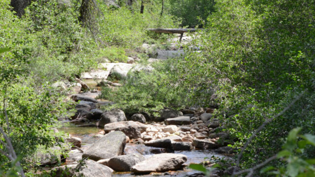
The weather was bright but with a few clouds, with temperatures that started in the mid to upper 70’s and ended up (I’m guessing) in the low 90’s. Timing has been hard this year with everything seeming to be a couple of weeks ahead of schedule. We visited in the very end of June, and the meadows were still moist with a good flow of water in the nearby creek. Some years you may find it to be muddier at this time, so be prepared. There are lots of places where you can tell that water had been running on or across the trail.
Directions
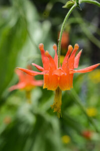
From Placerville take Highway 50 east about 35 miles. Turn left onto Wrights Road. Follow this about 4 miles to the Lyons Creek Trailhead, on the right side. Wrights Road is a bit narrow but it is paved.
Lyons Creek Wildflowers
Please feel free to help me with the identification of any “unidentified” flowers listed here, as well as correcting any errors I may make. Click on any photograph to see a larger image. I’ll start with a few favorites, and then the “gallery”.
We found large numbers of the Naked Star Tulip at the beginning of the trail, and in odd pockets all along the way. Some of these may be hybrids with Calochortus minimus.
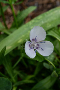
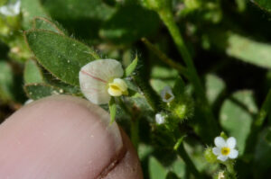
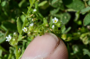
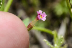
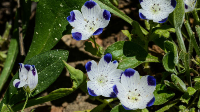
I always enjoy finding beautiful flowers, but sometimes it is particularly fun to find the “belly flowers”, ones that are so small that you have to lay down on your belly to see them. People often miss these when they are hiking. There were quite a few of these on this trail. For example:
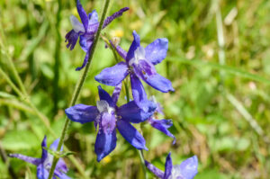
It is unusual to find so many larkspur on one hike – but these were found all along the trail. Larkspur are a particularly hard flower to photograph (and have it come out nice).
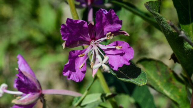
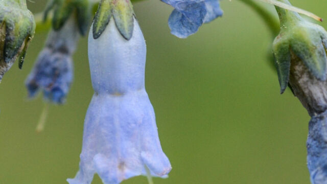
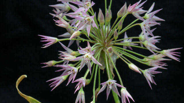
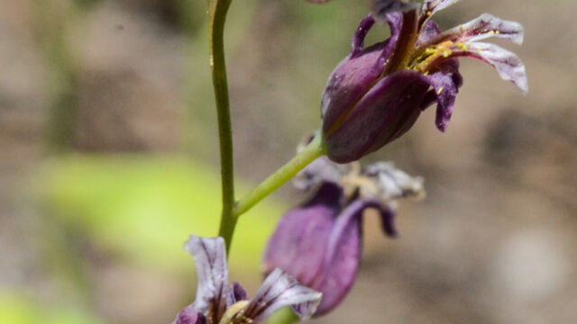
To view the picture gallery, click on the larger photo below, then you can page through the gallery just by continuing to click on the images. If you recognize any that are marked “unknown” then please leave a comment (or, if I have misidentified any, let me know). Thanks!


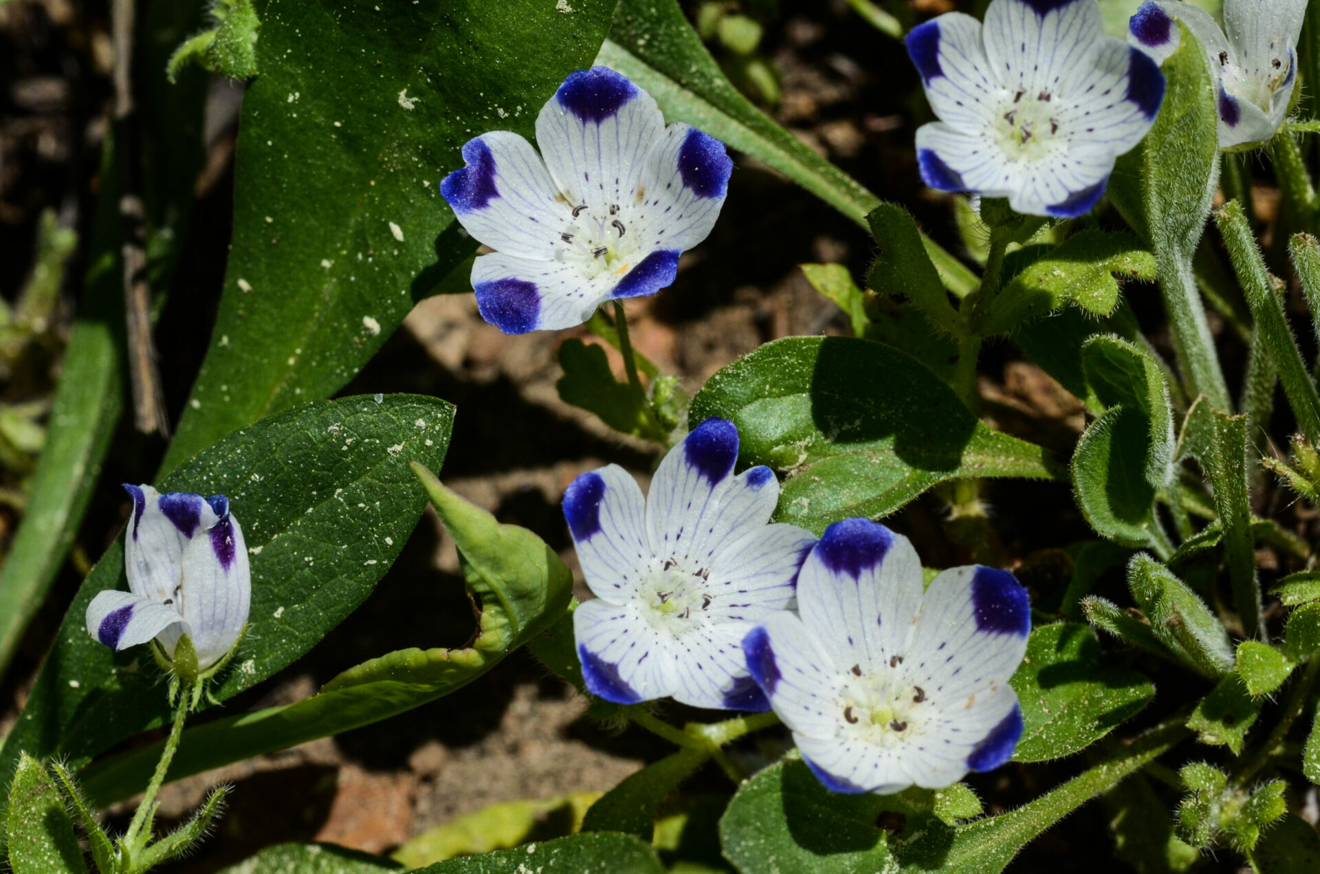
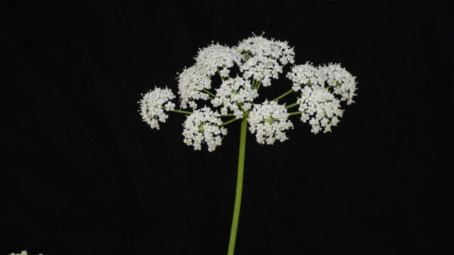
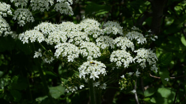
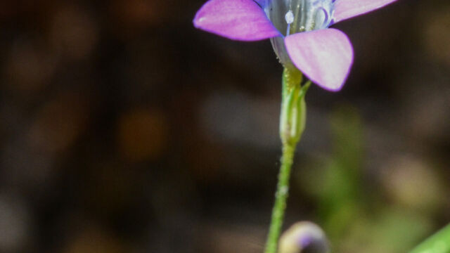
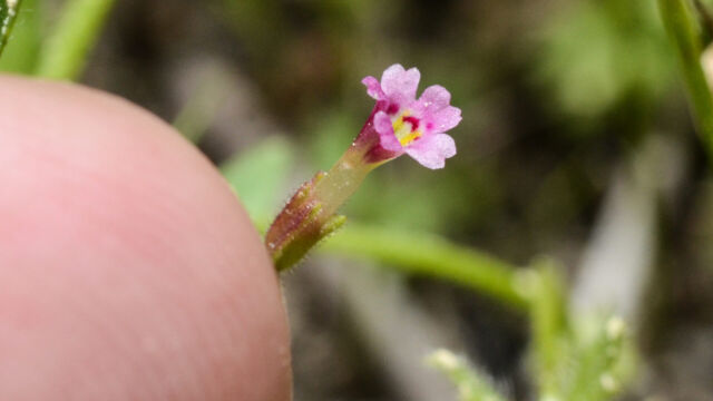
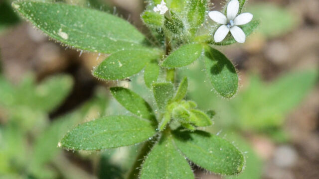
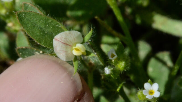
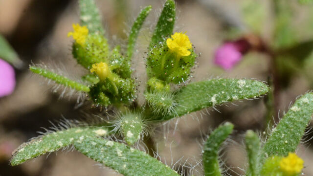
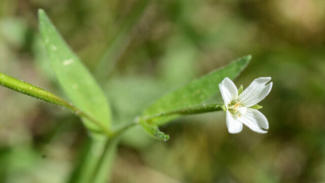
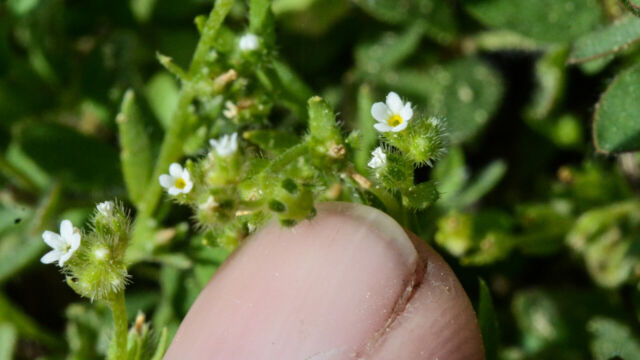
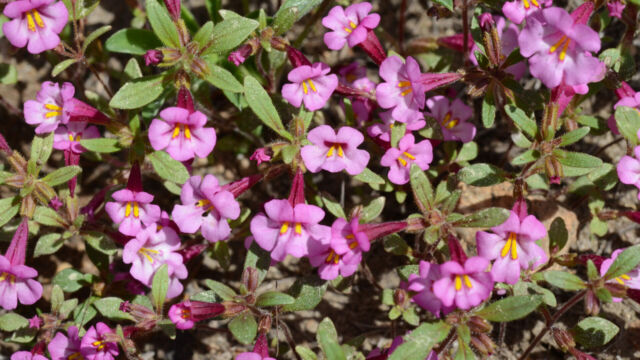
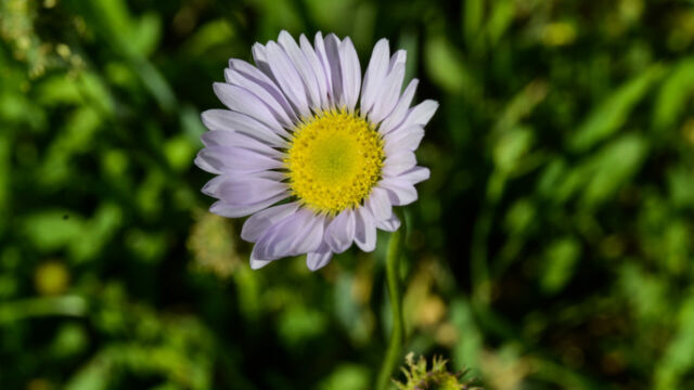
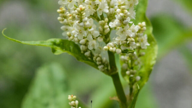
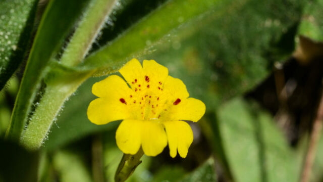
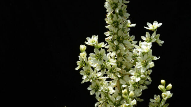
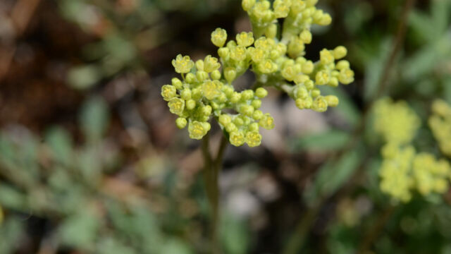
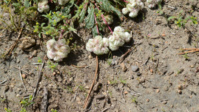
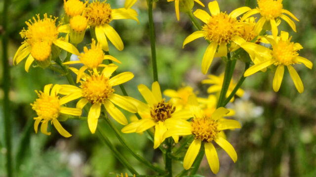
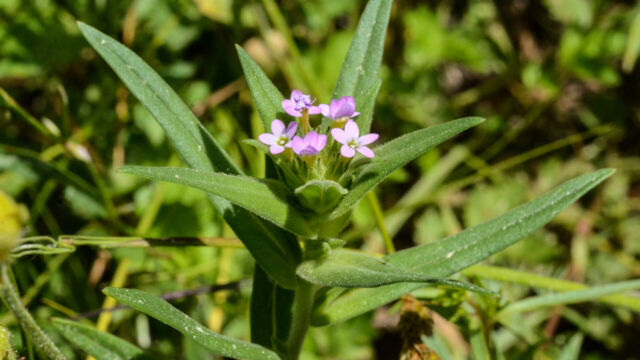
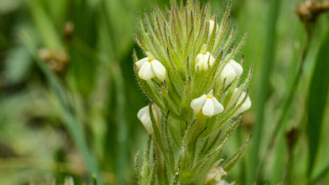
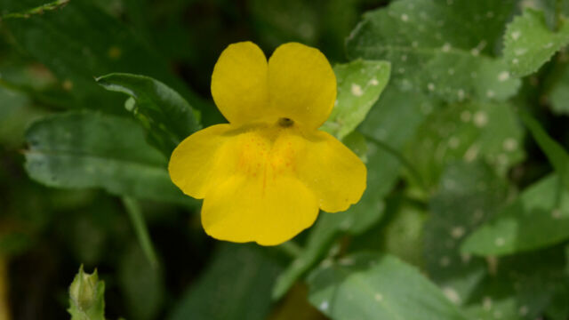
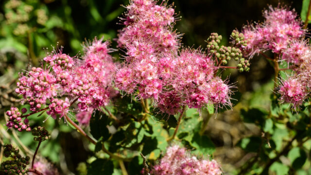
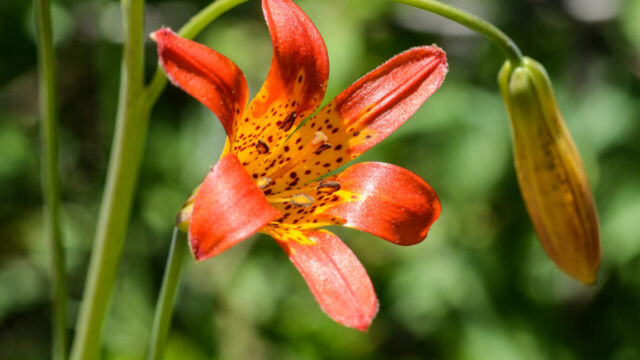
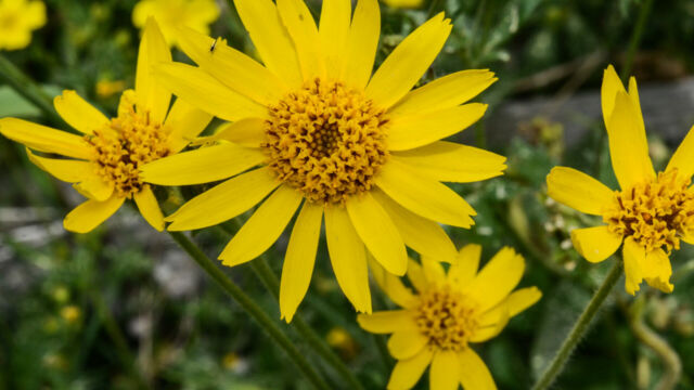
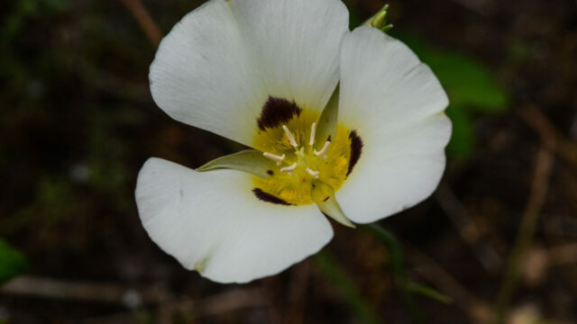
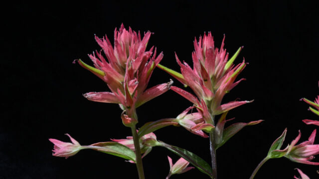
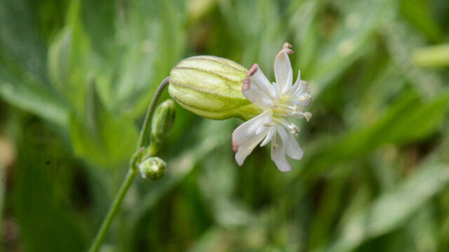
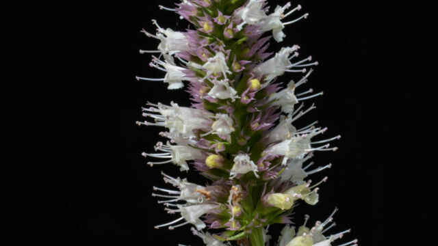
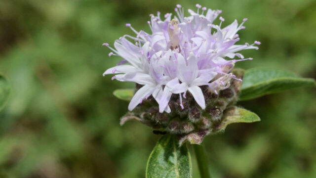
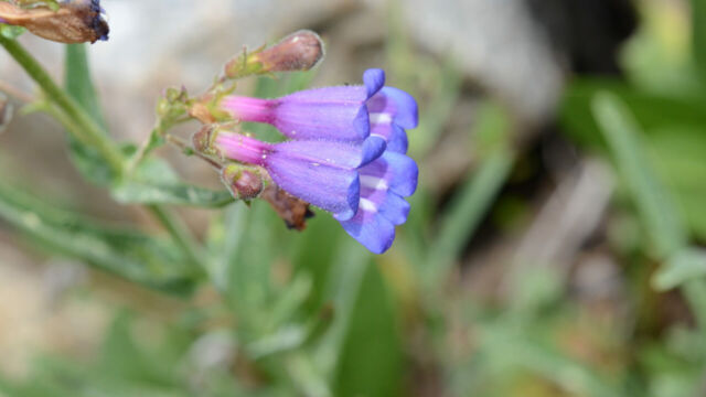
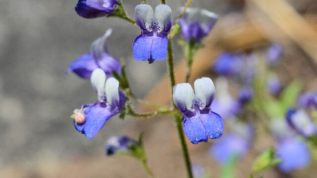
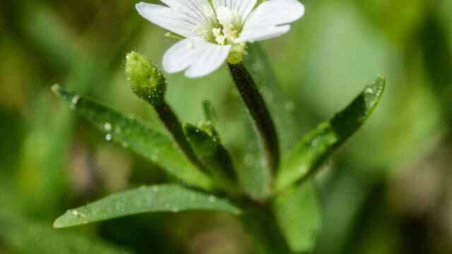
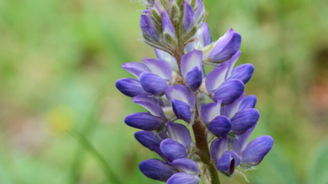
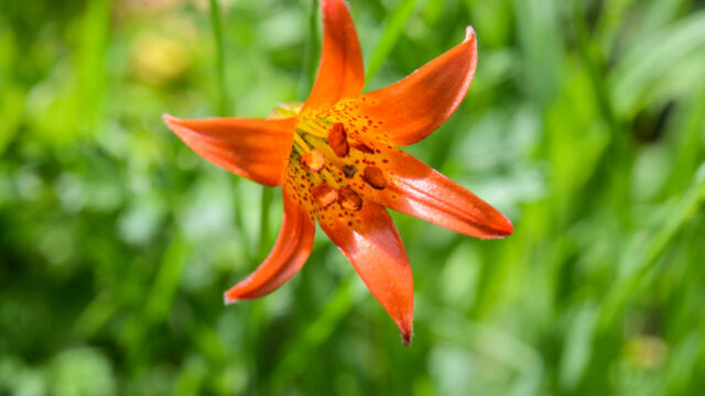
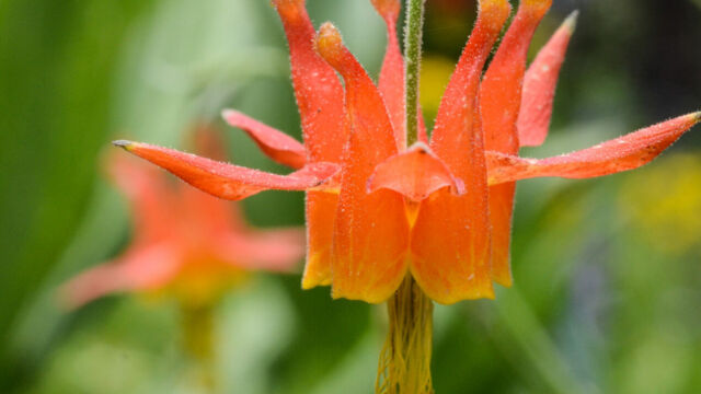
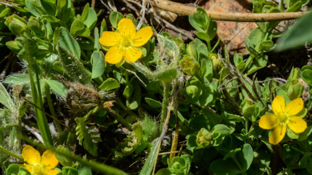
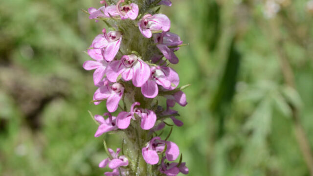
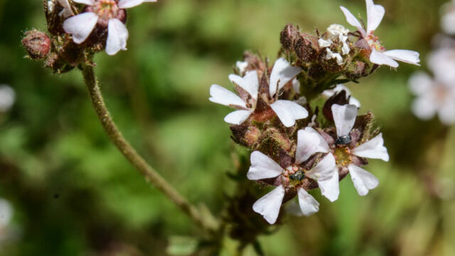
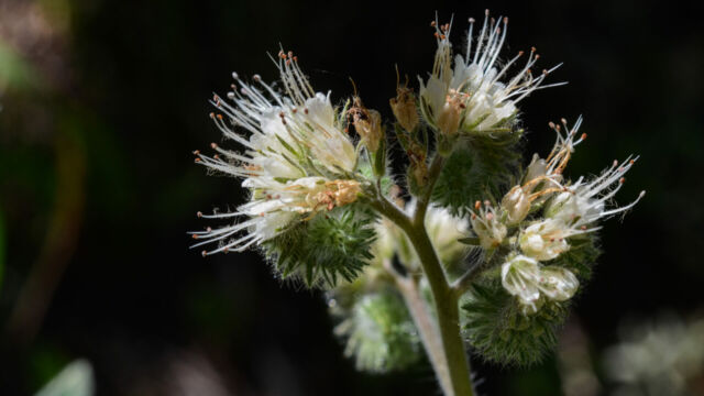
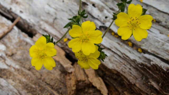
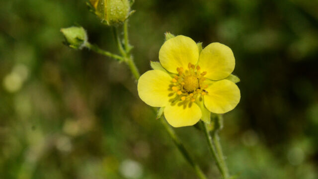
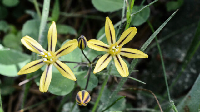
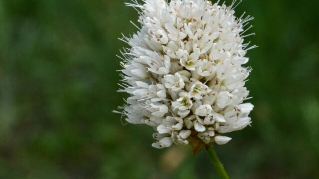
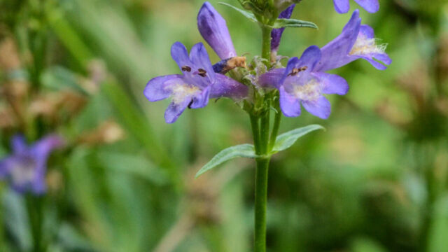
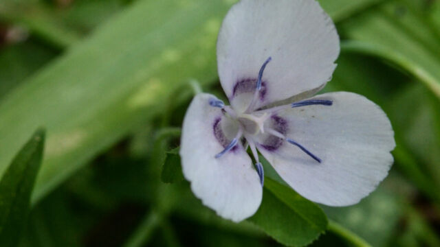
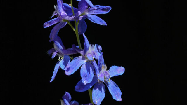
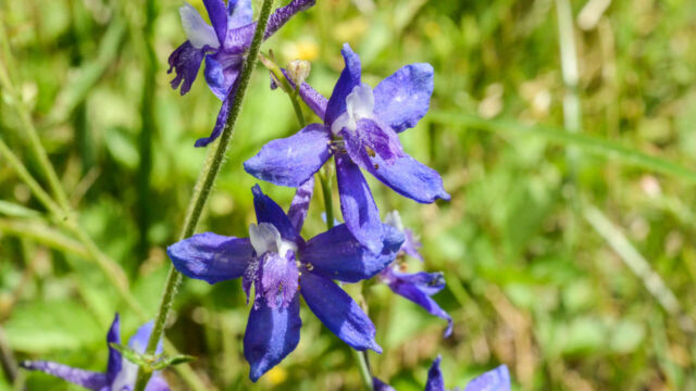
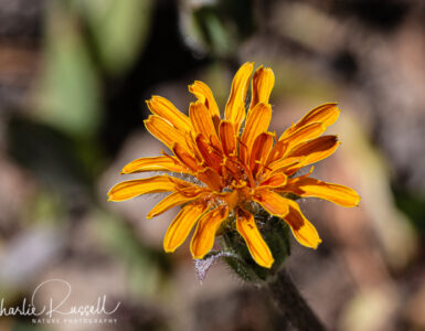
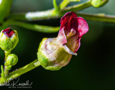
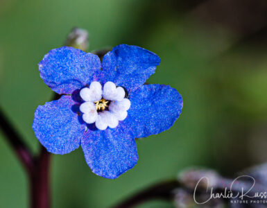
I suspect that unknown #3 is a Gilia species, but am unsure which. Maybe something near Bridiges Gilia, Gilia leptalea.
Thank you, Robert. This reminds me that I have to go back through my older posts and update them with ID’s, when I have time. I’ve gone through and updated a bunch of the “unknowns”, and I will catch up on the others later on. The one you refer to is Bridges’ pincushionplant, the latest scientific name for this is Navarretia leptalea (it used to be Gilia leptalea).
Here’s the Wikipedia site with the updated name: https://en.wikipedia.org/wiki/Navarretia_leptalea
Unknown Mint #16 looks like Agastache urticifolia: https://en.wikipedia.org/wiki/Agastache_urticifolia, common names nettleleaf giant hyssop or horse mint.
Yes, you are correct. Thanks! This hike was the first time I came across this. Subsequently I’ve found it in a number of locations in the El Dorado National Forest.
Try Navarretia leptalea, formerly Gilia leptalea, for the low-growing purple flower. See: https://en.wikipedia.org/wiki/Navarretia_leptalea . Thanks to bioclimatologist Robert Barnard, whom I met on Lyons Creek Trail recently, for this determination.
Sorry, you had already posted a response to the Gilia idea: I missed it, and forgot I had already updated the genus name. Two sure signs of se-nil-ty!