


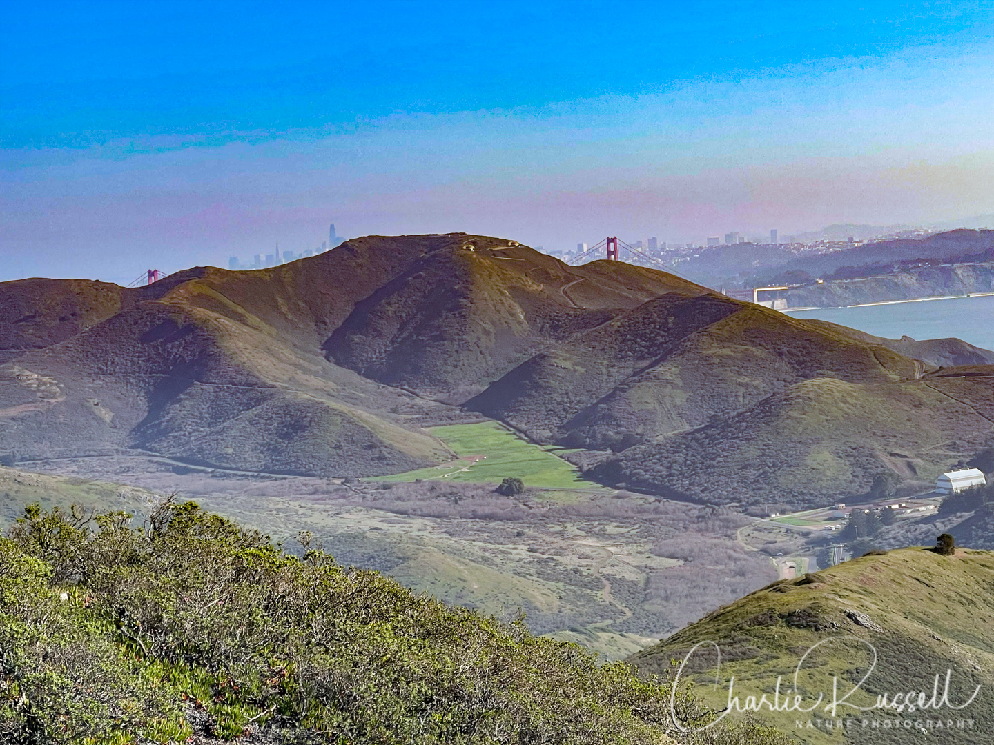
The Marin Headlands are a unit of the Golden Gate National Recreation Area that offers a wide variety of trails with abundant wildflowers. In late January 2022 we took a somewhat strenuous hike in a loop that led us from beach level up to a ridge where we had wonderful views of the Pacific Ocean, looking back towards San Francisco. It can be a busy trail, but there is a lot of room up there.
Even this early in the year, we found quite a variety of native wildflowers (and many non-native plants as well).
The Flowers
Here’s a sample of a few of my favorites from this hike (click on the image to see a larger view).
Dwarf checkerbloom were scattered about along the coastal trail, heading up the hill. They really stand out!

We found quite a few mosquito bill (aka Henderson’s shooting star) in bloom on the Wolf Ridge trail, which isn’t as exposed to the sun as the Coastal trail. This is one of my favorite early wildflowers. In general, this species can have either 4 or 5 petals. However, those in Marin County always have just 4 petals.

Footsteps of spring is so aptly named! You often see multiple clumps of these in a staggered row up a hillside. It looks like a sprite has run up the hill, and flowers flourish at each step.

If you click on lightbox image below you will see larger versions of the photos, and you can scroll through all of the plants (and other things) that we found on this hike. All photos are available for purchase in a variety of formats.


")
")


")


")

")


")


")
")
")


")
The Hike
This is a long hike, 6 miles with over 900′ of elevation change. You go through quite a variety of plant habitats.
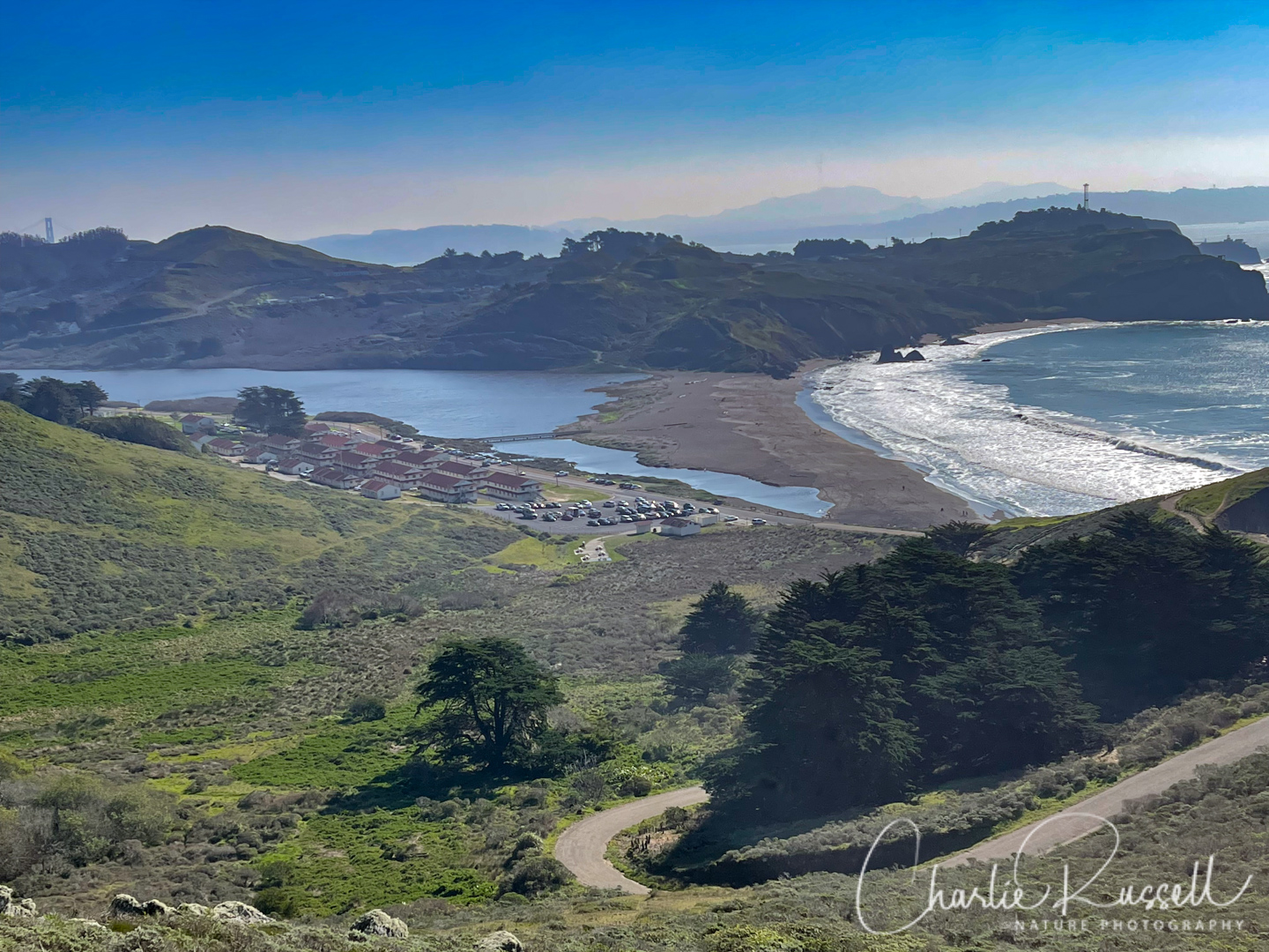
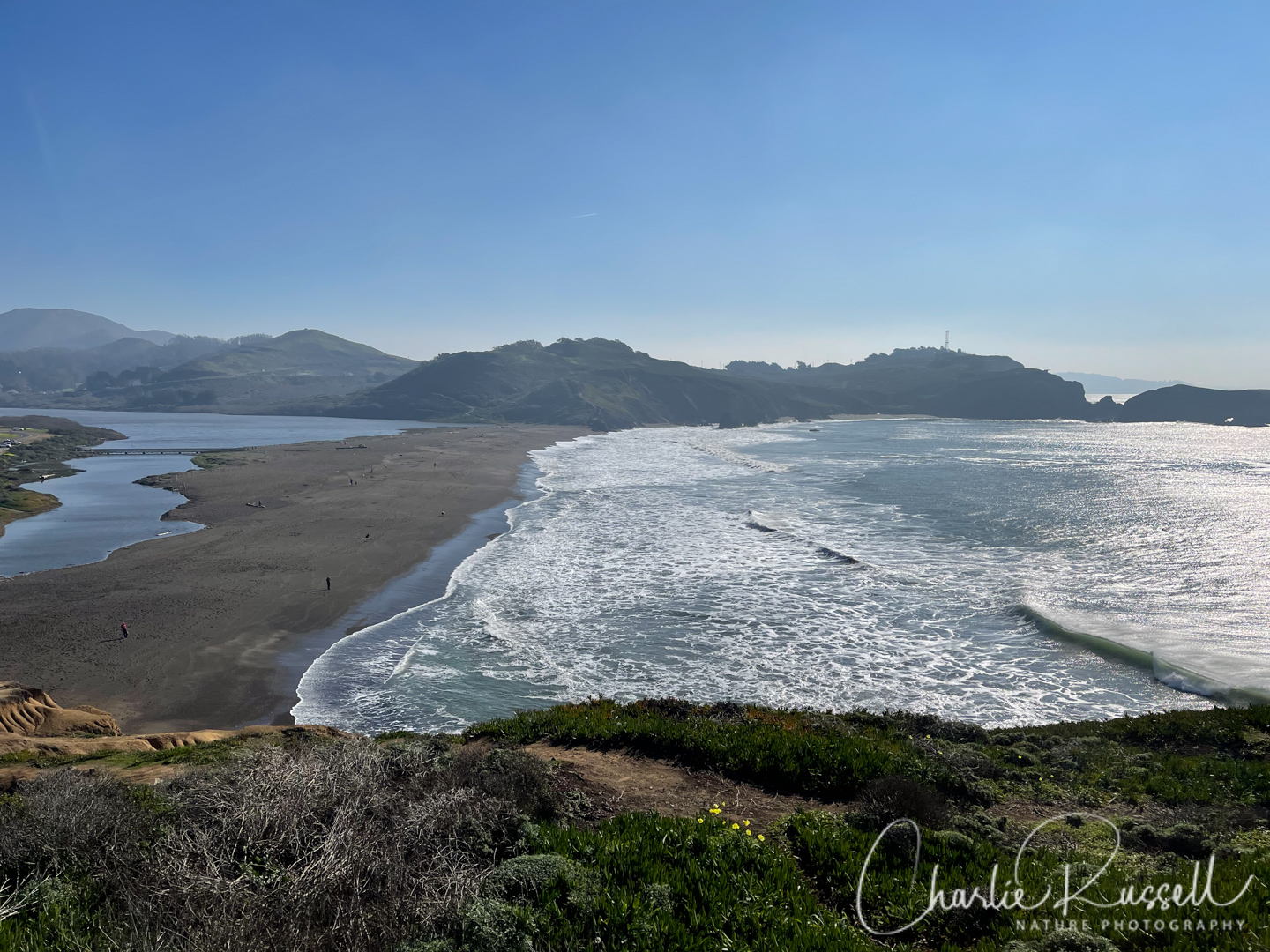
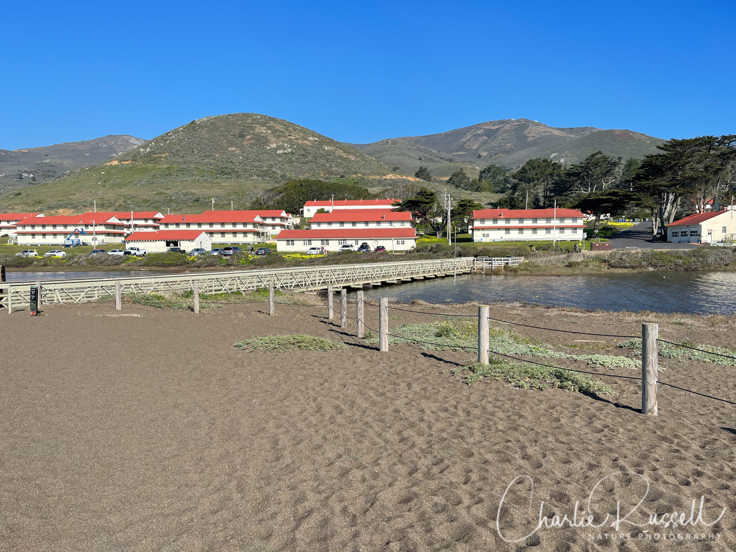
We started at the parking lot of the Marin Headlands Visitor Center and headed west along Rodeo Lagoon. I prefer the south side of the lagoon so you don’t have to walk along the busy roadside.
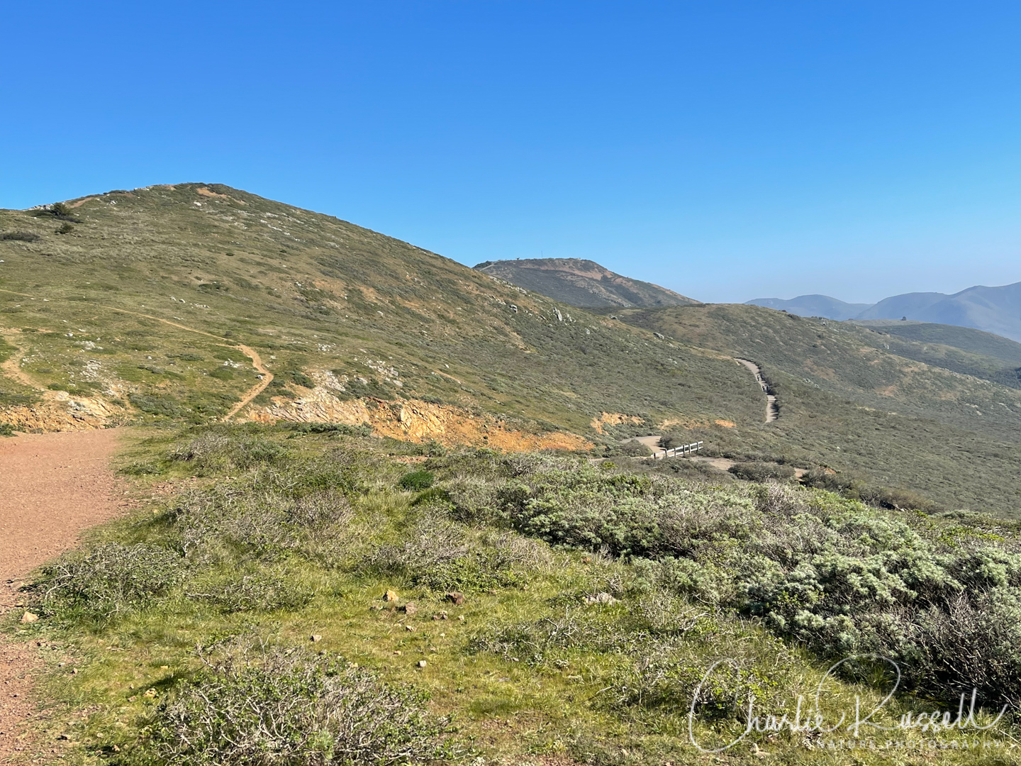
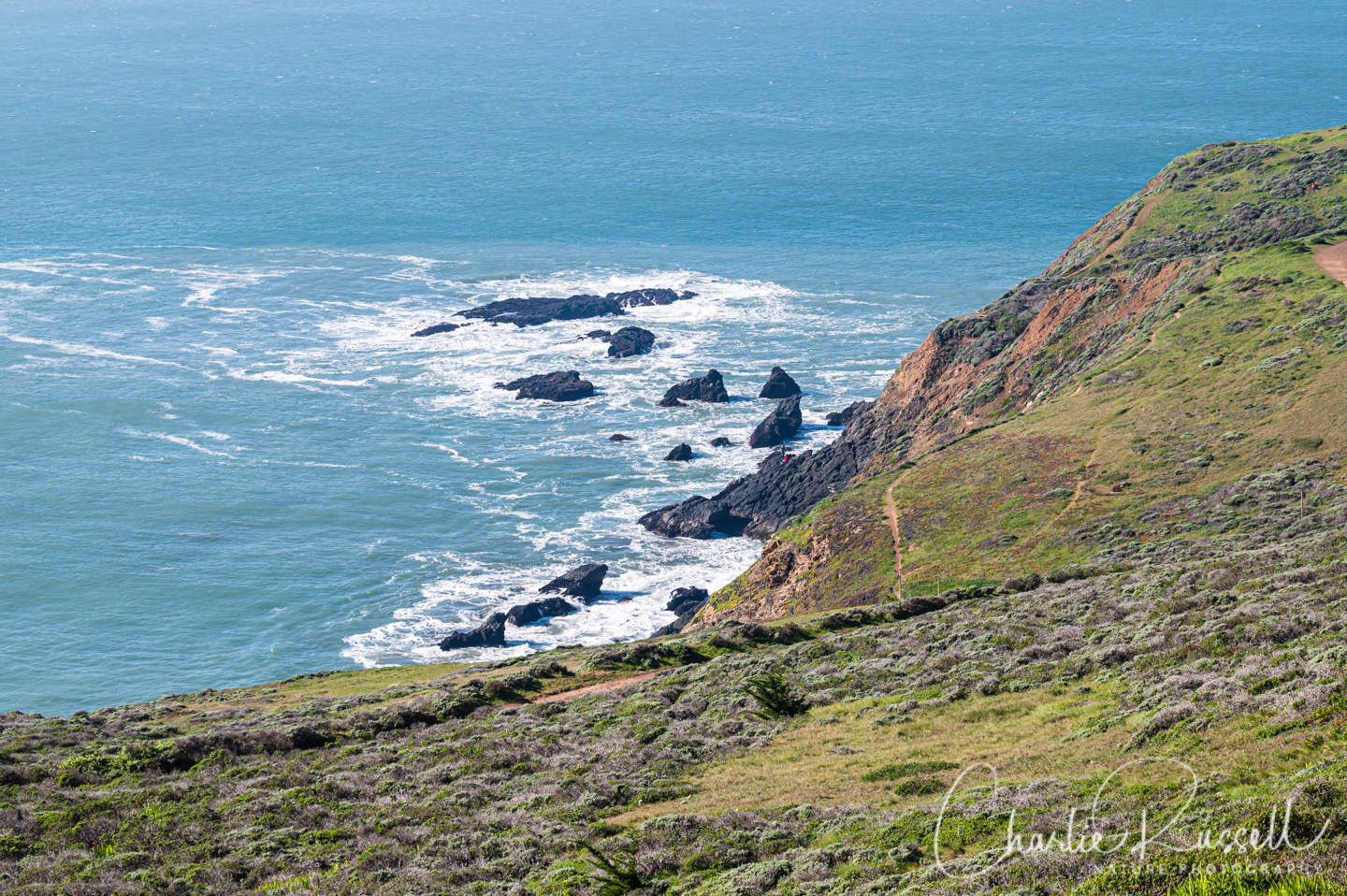
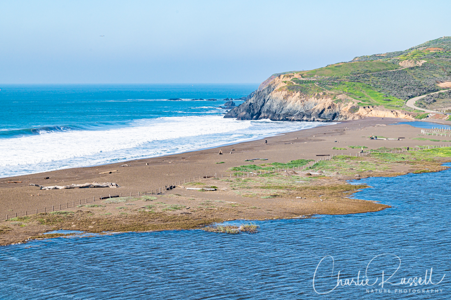
At the west end of the beach you will see a paved trail that leads up the steep hill. This is the Coastal Trail. You will find wildflowers along the way.
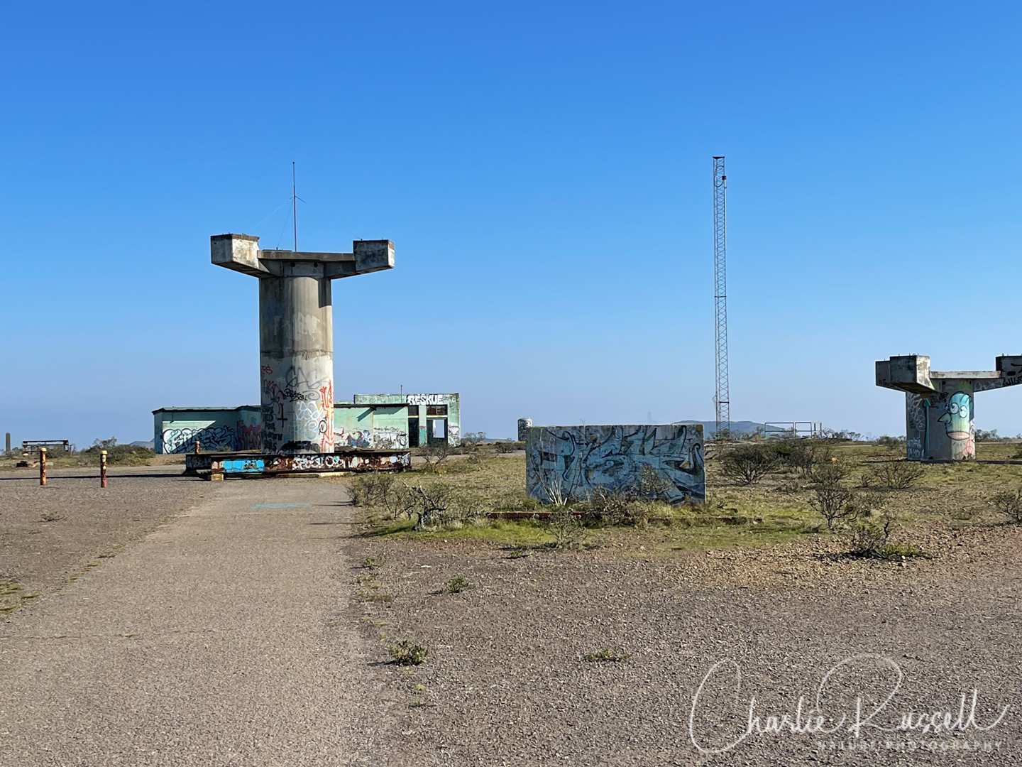
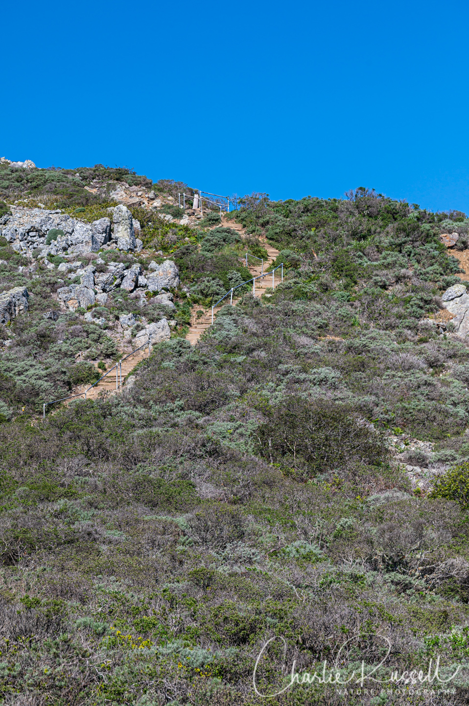
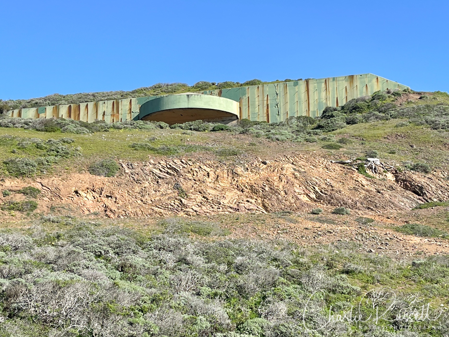
Part way up the Coastal trail you will pass Battery Townsley, a fortified position that was established to protect the entrance to the San Francisco Bay. HUGE guns were placed here, but they were never used (other than for practice). A sample of one of the guns lays outside the battery.
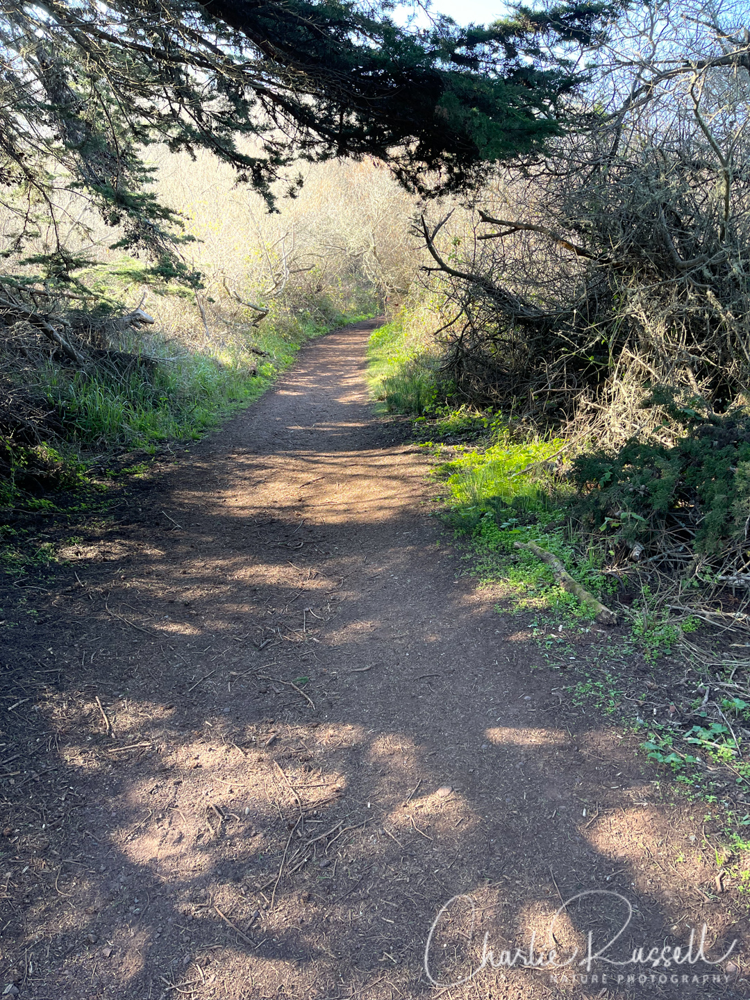
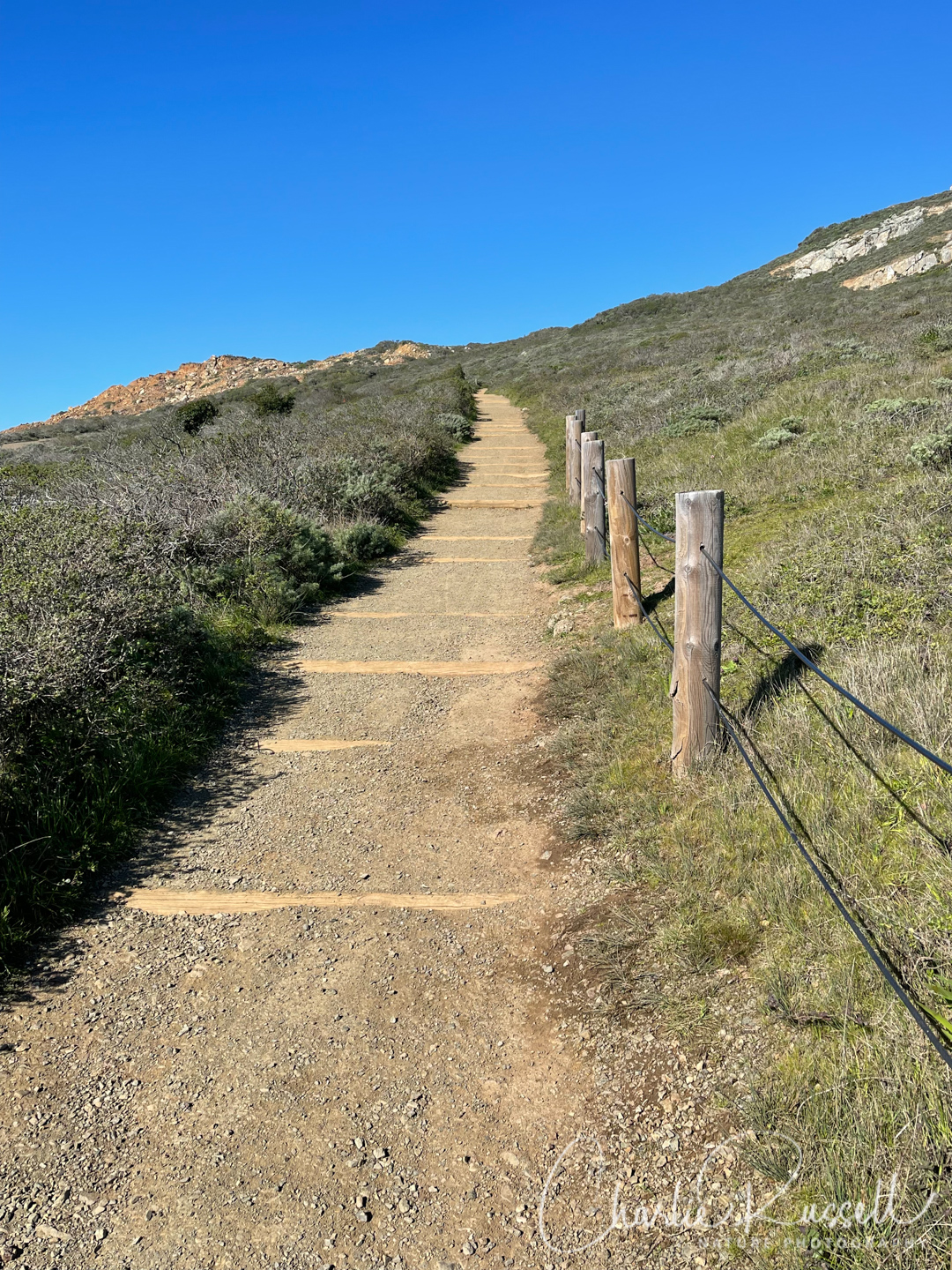
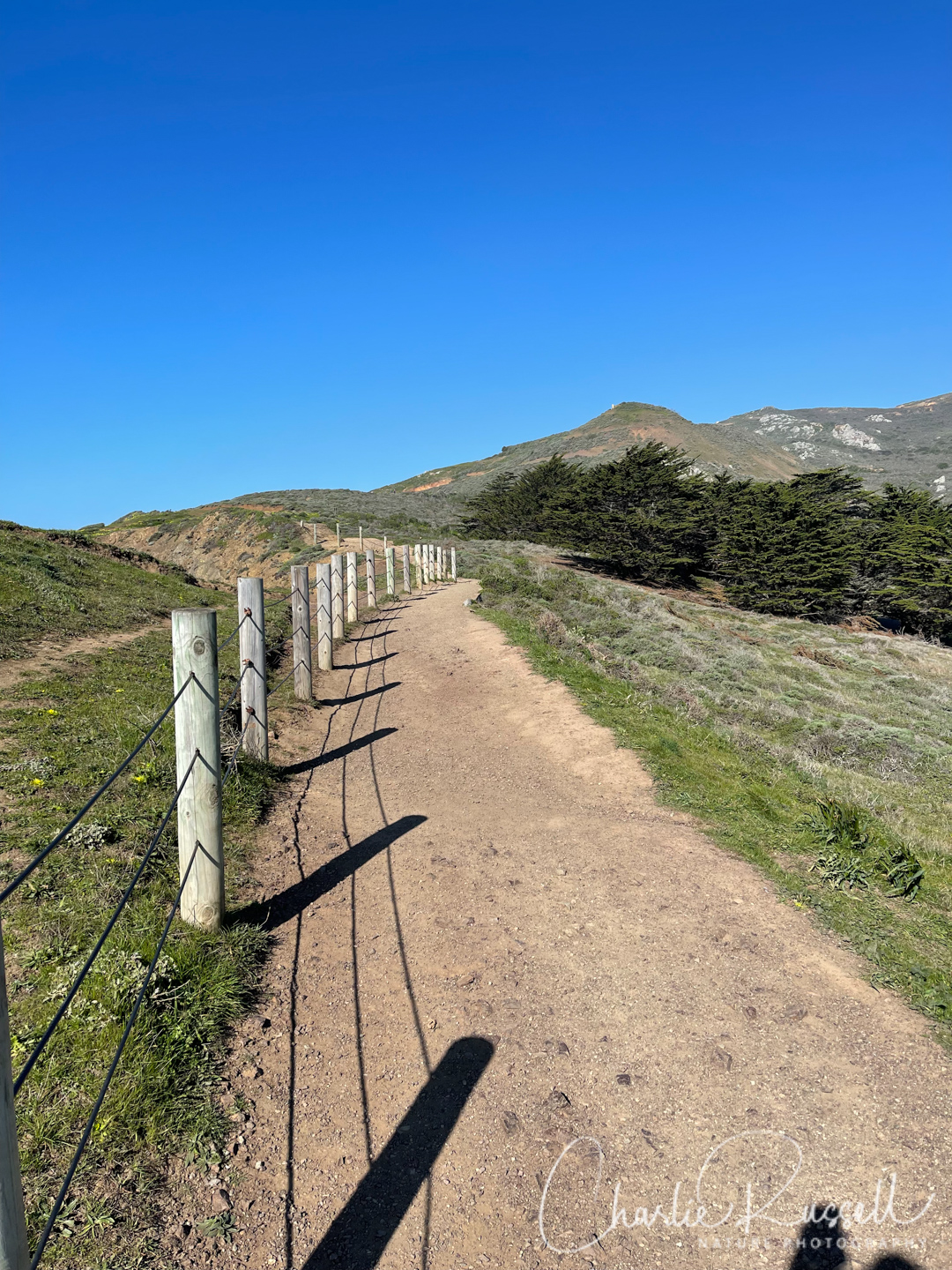
After the battery the trail continues steeply up the hill. There are a LOT of steps! Wildflowers and interesting lichens along the way.
Near the top you will come to a trail junction. Turning left (west) will take you further along the Coastal trail. We took the right hand option, the Wolf Ridge trail. This begins to take you along the north side of the ridge, which is protected from the wind a bit. You will find a completely different set of wildflowers along here.
Eventually this trail meets with the Miwok trail. We turned right (south) to go down the hill. This is a paved road for the most part, very steep (no steps). I’m glad we had our hiking sticks.
At the bottom of the hill you reach a fairly level riparian area. Continue west on this trail until you come to the road. Cross the road going south, you will find a short set of steps leading off the road, which take you back to the visitor center parking area.
Here’s the track that we followed:
Marin Headlands
Profile
Description
Move your mouse along the elevation graph to show the location on the map. The Refresh icon will re-center the map. The Expand icon will expand to full screen.
Directions
The Marin Headlands are on the north side of the Golden Gate Bridge. Take exit 442 on Highway 101, which is close to the Golden Gate Bridge View Vista Point, and head north on Alexander Avenue. Very shortly you will come to Bunker Road. Turn left (west) on Bunker Road, which takes you into the Baker-Barry Tunnel. After 2.7 miles you will see signs for the Marin Headlands Visitor Center on your left (Field Road). Turn there, and the parking lot will be on your right. The restrooms are on the west end of the parking lot, and the trail starts there.
There are several places that you can park in the Marin Headlands. I like to use the visitor center because it is usually less crowded (farther from the beach) and it has a very clean public restroom. There is no fee to park here.
Timing is Everything
This visit was in the last week of January 2022, a month/year that had very low rainfall totals. Portions of the trail are dirt and gravel, so in a wetter year this loop might be a bit messy. However, this time, the weather was bright and seasonably moderate, although it was a bit windy for the climb up the Coastal trail. We hiked on a weekday, and the trail was fairly busy with hikers and mountain bikers.
Marin Headlands Wildflowers
Here’s a listing of the native plants that we found on this visit.
The ones listed in color are endemic to California (that is, found only in the California Floristic Province). nif” means “not in flower”. CNPS numbers are ratings for rare plants by the California Native Plant Society (see my explanation of CNPS ranks). In most cases the scientific name will be a link to a reference source such as Calflora.
- Arroyo willow, Salix lasiolepis
- Beaked hazelnut, Corylus cornuta
- Bluff lettuce, Dudleya farinosa (nif)
- California bee plant, Scrophularia californica (nif)
- California buttercup, Ranunculus californicus
- California coffeeberry, Frangula californica
- California huckleberry, Vaccinium ovatum
- California man-root, Marah fabacea
- California Mugwort, Artemisia douglasiana (nif)
- California poppy, Eschscholzia californica
- California sagebrush, Artemisia californica (nif)
- California wild rose, Rosa californica
- Climbing bedstraw, Galium porrigens var. porrigens
- Common cowparsnip, Heracleum maximum
- Coyote brush, Baccharis pilularis
- Douglas iris, Iris douglasiana
- Dwarf checkerbloom, Sidalcea malviflora ssp. malviflora
- Elegant piperia, Platanthera elegans ssp. elegans (Piperia elegans ssp. elegans)
- Footsteps of spring, Sanicula arctopoides
- Franciscan paintbrush, Castilleja subinclusa ssp. franciscana
- Lupinus sp. (nif)
- Milkmaids, Cardamine californica
- Miner’s lettuce, Claytonia perfoliata
- Monterey Cypress, Cupressus macrocarpa
- Mosquito bill, Primula hendersonii
- Narrow Leaf Mule Ears, Wyethia angustifolia
- Pacific false bindweed, Calystegia purpurata ssp. purpurata
- Pacific sanicle, Sanicula crassicaulis (nif)
- Pacific stonecrop, Sedum spathulifolium (nif)
- Poison oak, Toxicodendron diversilobum
- Purple sanicle, Sanicula bipinnatifida
- Red flowering currant, Ribes sanguineum
- Red maids, Calandrinia menziesii
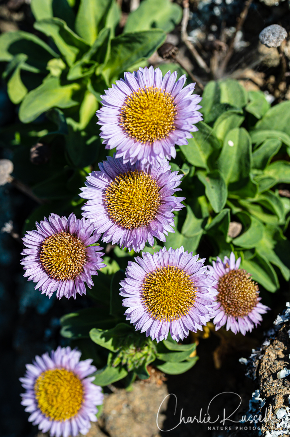
- Seaside daisy, Erigeron glaucus
- Seaside woolly sunflower, Eriophyllum staechadifolium
- Silver bush lupine, Lupinus albifrons
- Sticky monkeyflower (aka bush monkeyflower), Diplacus aurantiacus
- Toyon, Heteromeles arbutifolia
- Wavyleaf soap plant, Chlorogalum pomeridianum (nif)
- Western columbine, Aquilegia formosa
- Western thimbleberry, Rubus parviflorus
- Wood strawberry, Fragaria vesca
- Woollyfruit desertparsley, Lomatium dasycarpum
- Yellow sand verbena, Abronia latifolia
The following are non-native plants that we found on the hike as well:
- African cornflag, Chasmanthe floribunda
- Bermuda buttercup, Oxalis pes-caprae
- Cape-Ivy, Delairea odorata
- Corn spurrey, Spergularia arvensis
- European Searocket, Cakile maritima
- Fennel, Foeniculum vulgare
- Field marigold, Calendula arvensis
- Forget-me-not, Myosotis sp.
- Hairy Bittercress, Cardamine hirsuta
- Himalayan blackberry, Rubus armeniacus
- Ice plant (sea fig), Carpobrotus sp.
- Narcissus sp.
- Poison Hemlock, Conium maculatum
- Prostrate cape weed, Arctotheca prostrata
- Rough cat’s ear, Hypochaeris radicata
- Sheep sorrel, Rumex acetosella
We also found the following:
- American Coot, Fulica americana
- Armored Sea-Fog Lichen, Niebla homalea
- Anna’s Hummingbird, Calypte anna
- California maidenhair fern, Adiantum jordanii
- Coyote Brush Bud Gall Midge, Rhopalomyia californica
- Cumberland Rock Shield lichen, Xanthoparmelia cumberlandia
- Hairy brackenfern, Pteridium aquilinum var. pubescens
- Lace Lichen, Ramalina menziesii. CA official state lichen
- Leaf beetle, Family Chrysomelidae
- Nicklin’s Shoulderband Snail, Helminthoglypta nickliniana
- Pacific Three-banded Lady Beetle, Coccinella trifasciata ssp. subversa
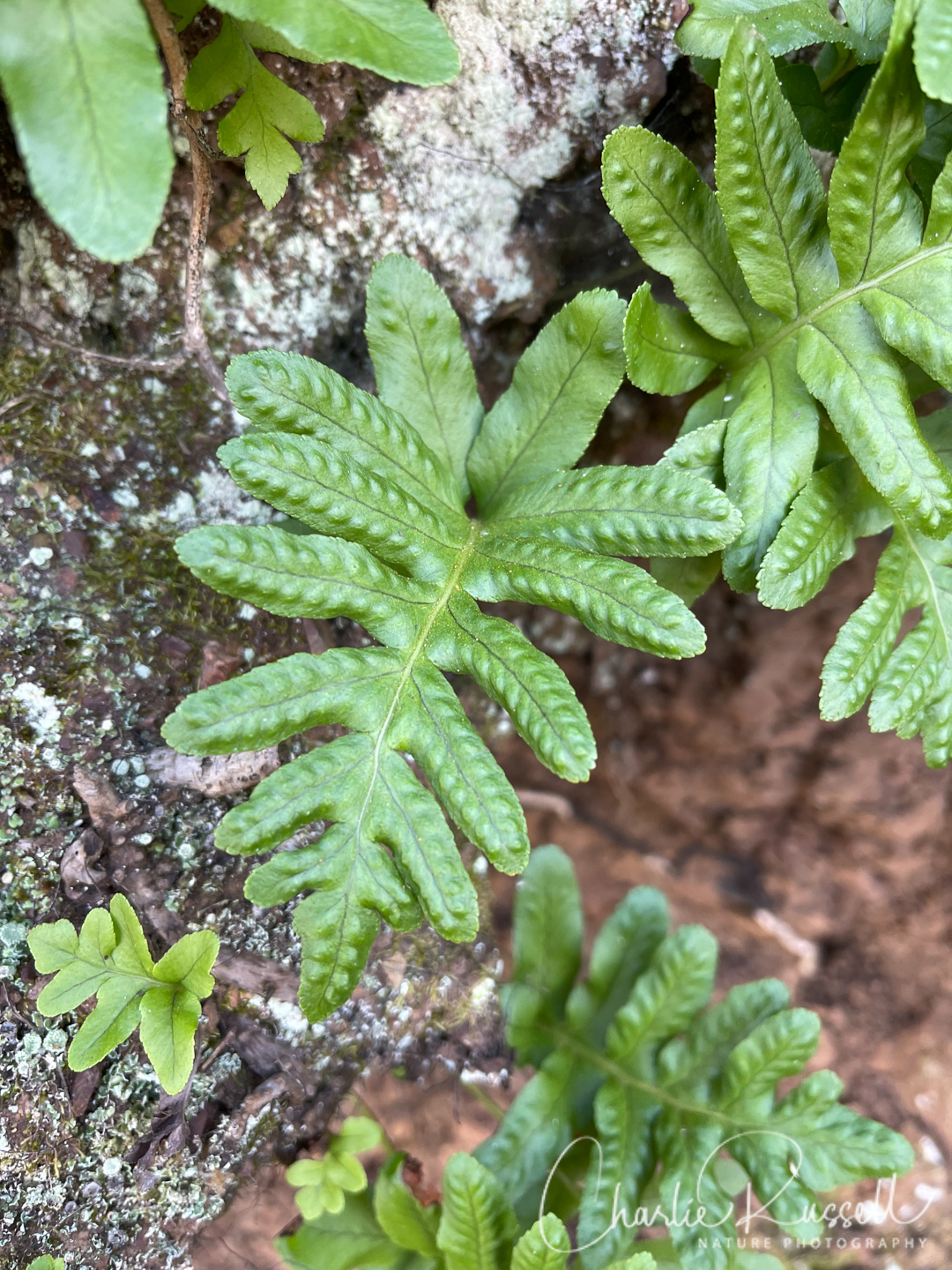
- Polypodium fern (not sure of species)
- Sagebrush Woolly Stem Gall Midge, Rhopalomyia floccosa, on California sagebrush (Artemisia californica)
- Tree Ruffle Liverwort, Porella navicularis
- Turkey Vulture, Cathartes aura


Add comment