


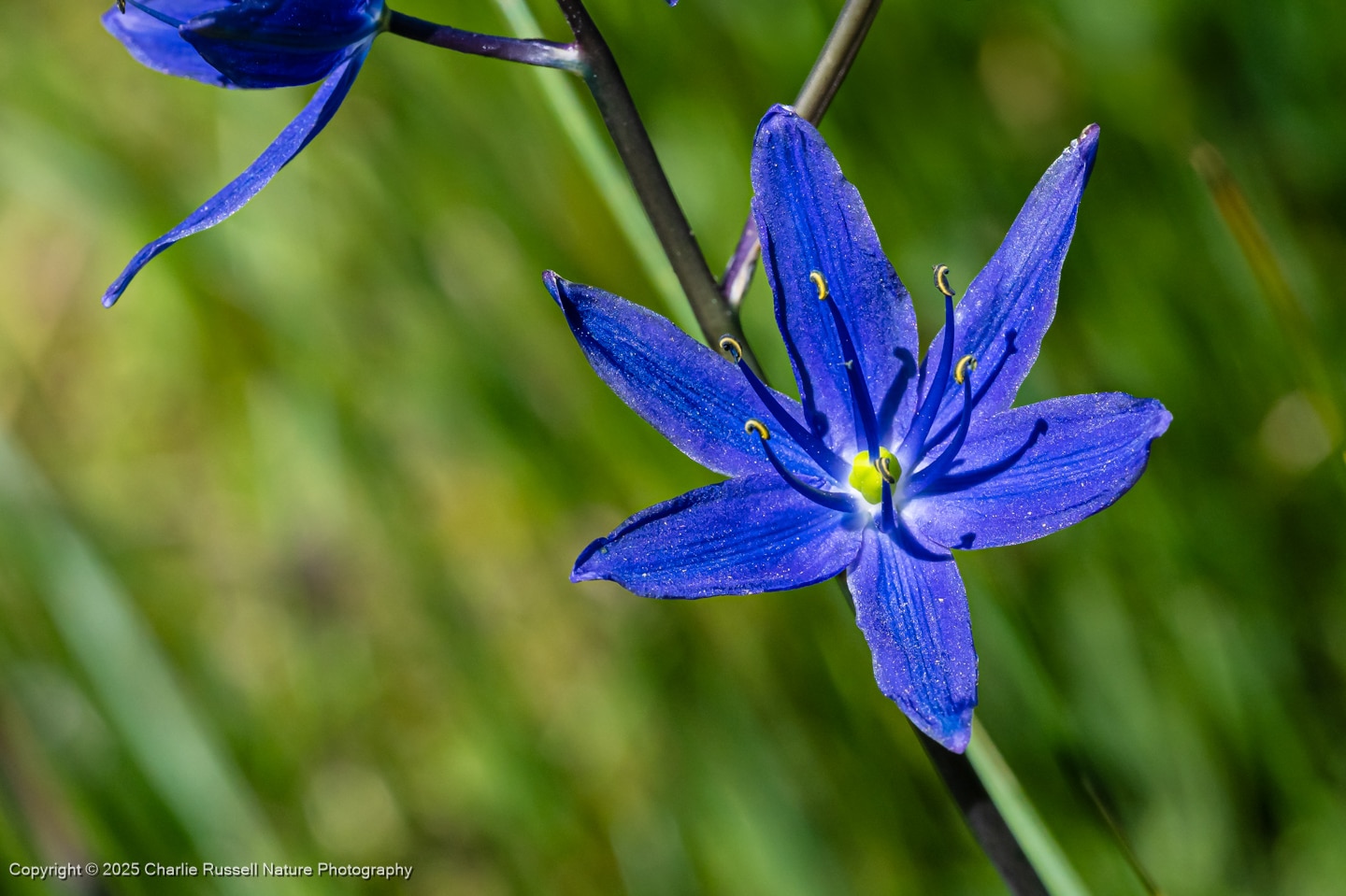
Loney Meadow is a somewhat remote meadow east of Nevada City in the Sierra mountains, at about 6000′ elevation. We visited this in June 2025, and there was a wonderful variety of wildflowers on an easy loop of about 2 miles. I want to go back again! Our visit was on a weekday, so we only saw a few other people. The trail goes around the perimeter of the meadow, and you want to stay on that trail to protect the sensitive habitat. Note, though, that getting there can be a bit confusing, as the USFS directions are very vague (I have help for you below!).
The Flowers
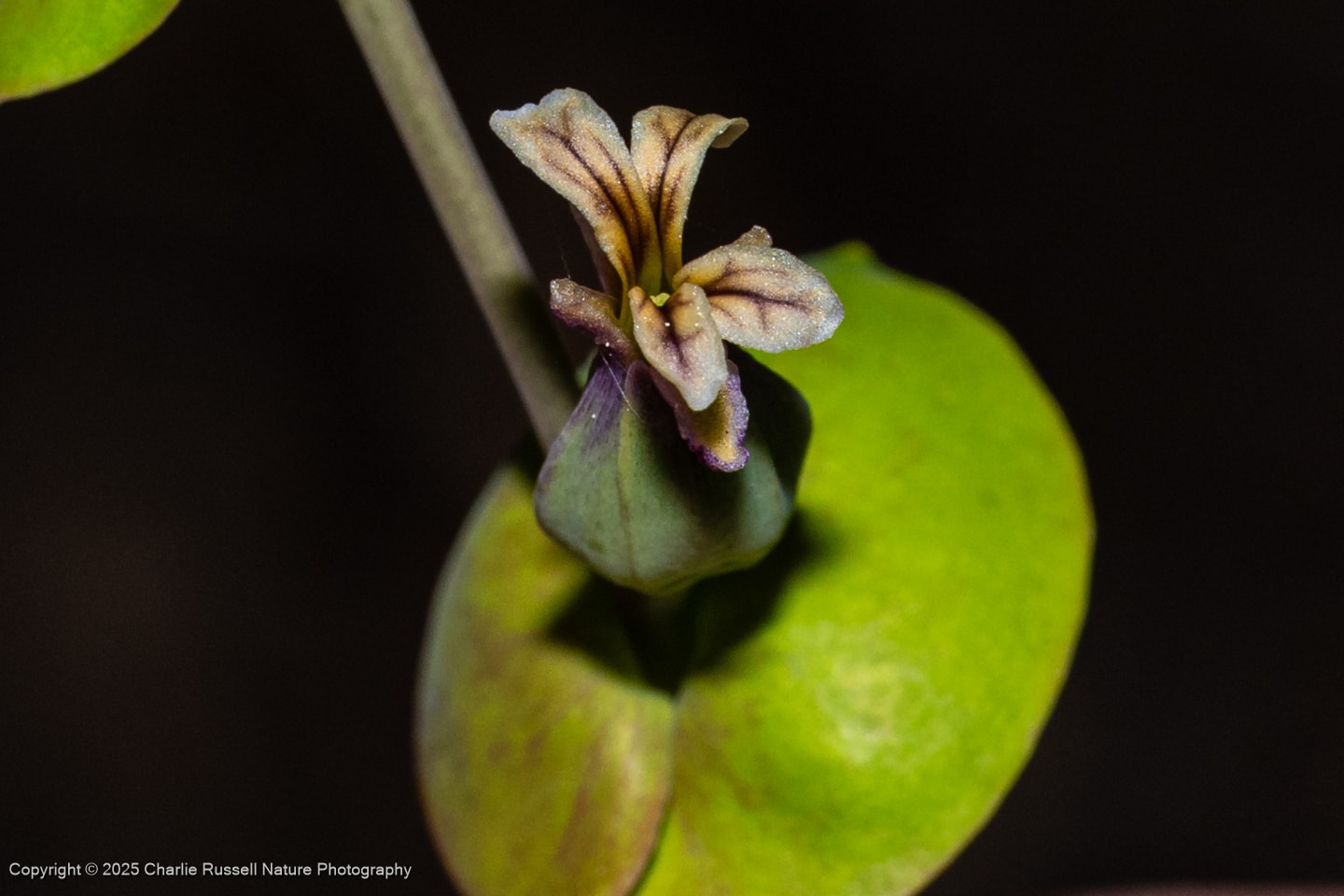
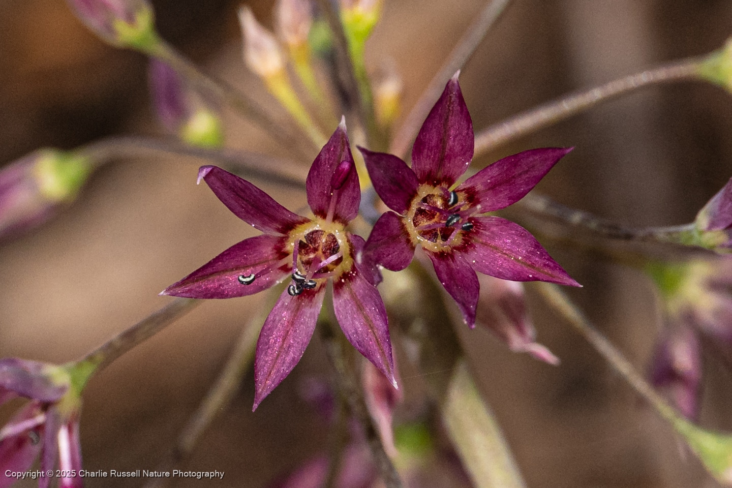
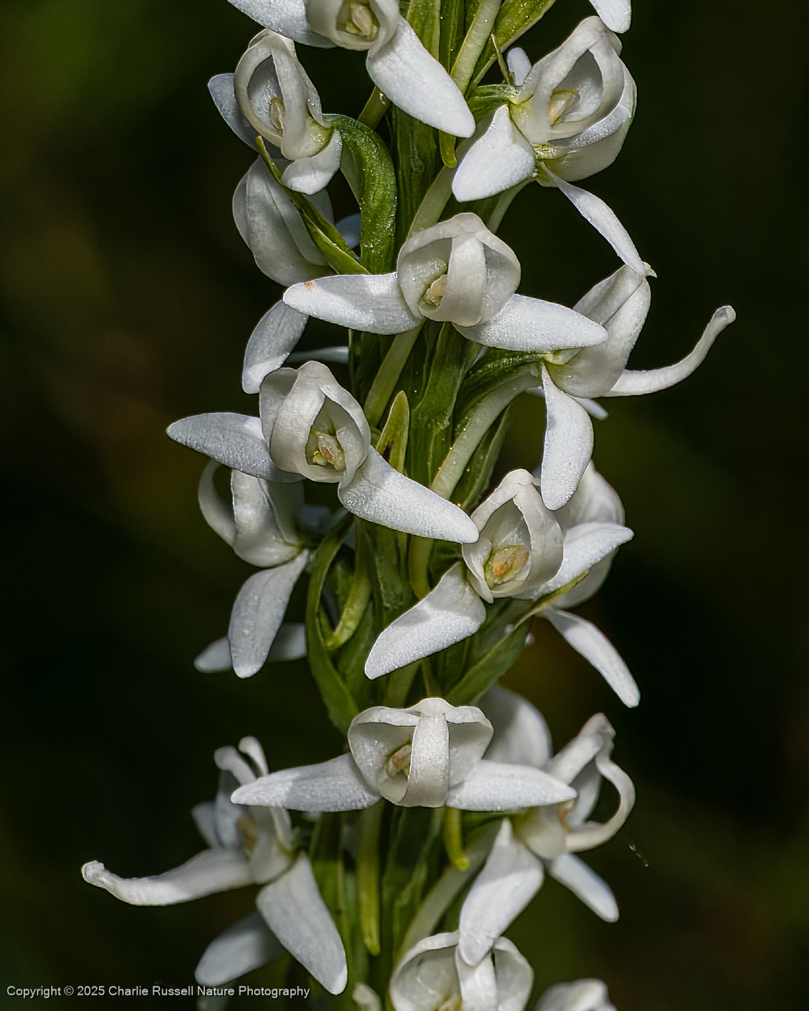
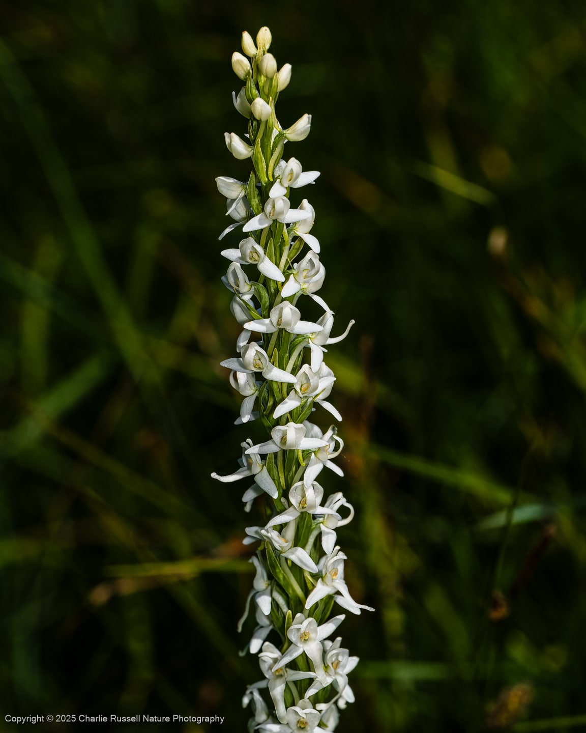
Here’s a sample of a few of my favorites from this hike (click on the image to see a larger view, including the scientific name).
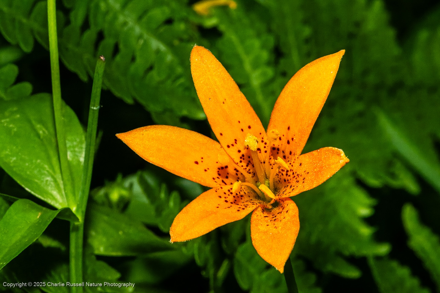
We found several patches of Alpine lilies on the far side of the meadow. It is always exciting to find these, and there can be quite a variation in shape and color.
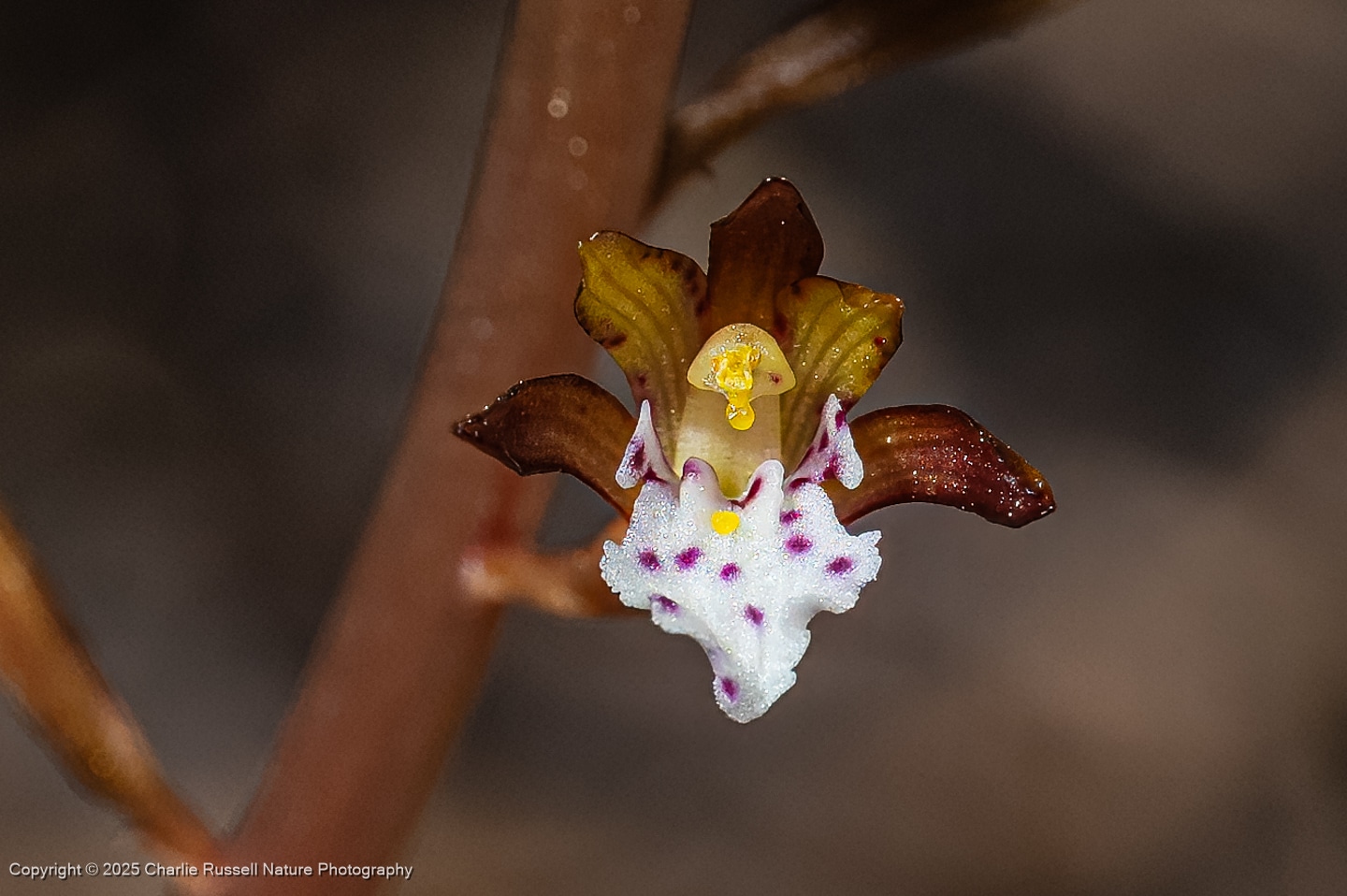
I’m always amazed that we can find orchids in the wild in California! The one I most commonly find is the Spotted coralroot, which is a tricky one to find since the individual flowers are so small (around a quarter of an inch). Look for them in shady spots under trees.
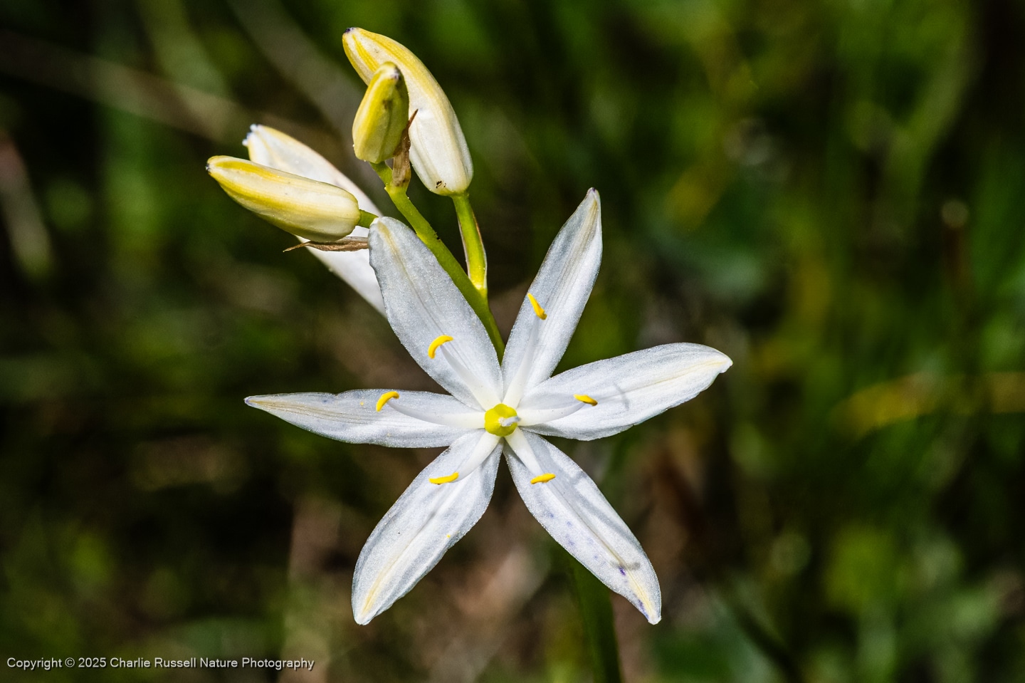
In addition to the more usual purple versions of small camas (like the photo at the top), we did find a smattering of all-white small camas in bloom.
In several areas, usually the drier and more open spots, you have to get down on your hands and knees to look for what I call “microflowers”. There were quite a few different species, low to the ground and with flowers that are just a few millimeters across. Here’s a close look at one of them, Staining collomia. Blue pollen!
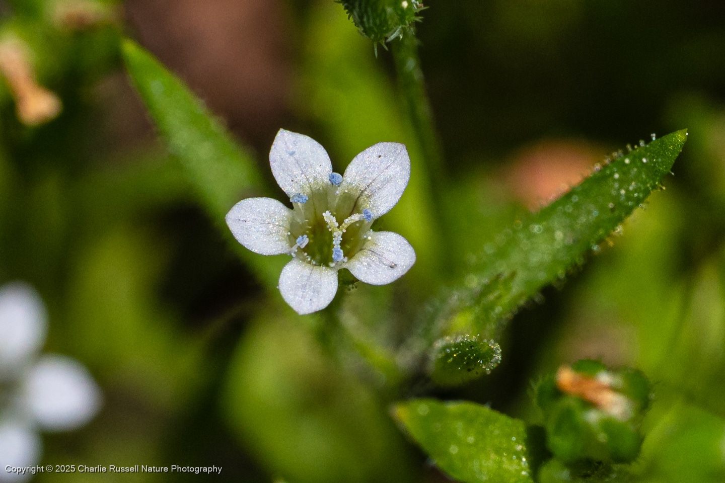
Here’s a gallery of selected photos from this hike. For the best viewing experience, click on the lightbox image below. That opens a window that lets you easily scroll through larger versions of the photos. All photos are available for purchase in a variety of formats.
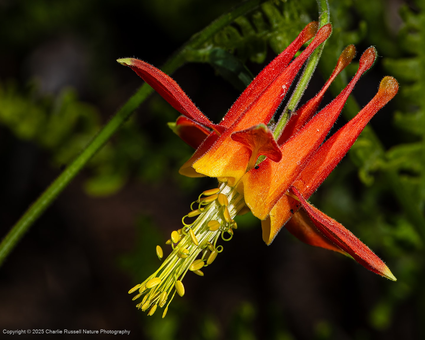
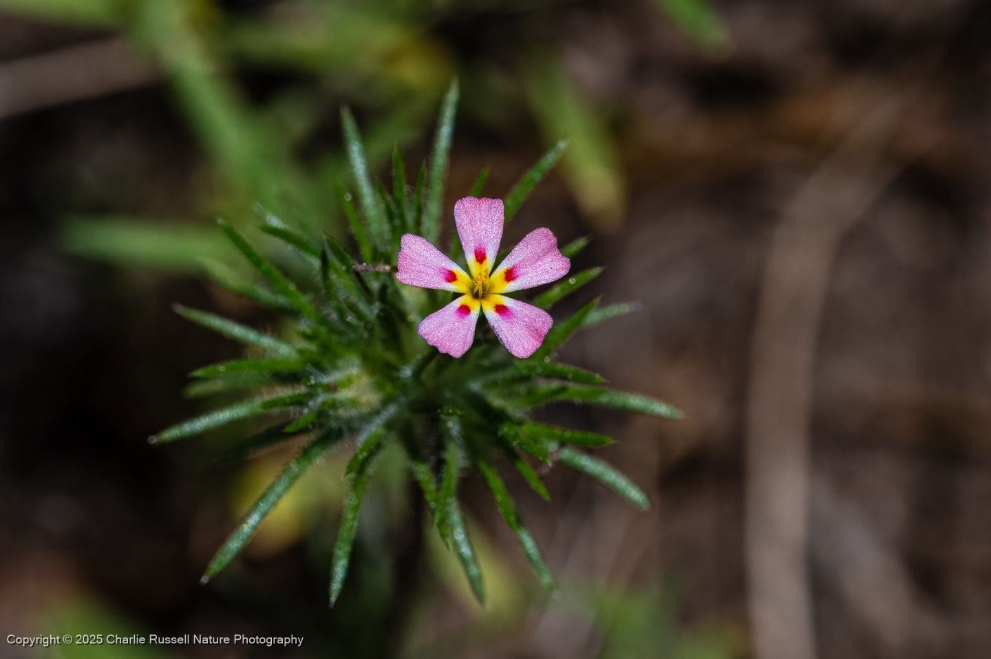
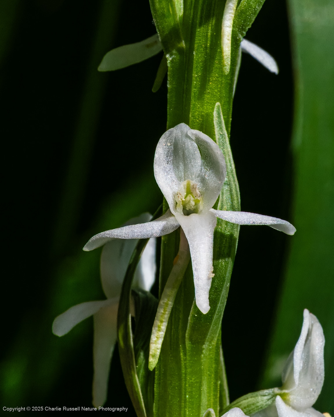
The Hike
This is an easy hike, about 2 miles by my GPS, and it was very flat for the most part. You’ll be skirting the meadow, and there are a few stream crossings with bridges or other aids.
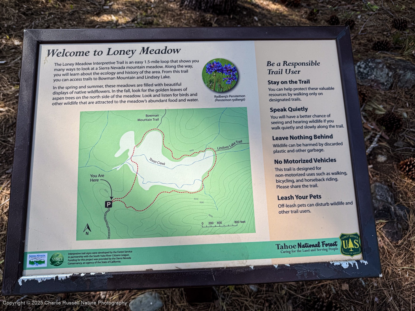
At several spots along the trail the USFS has interpretive signs that are helpful, including this map.
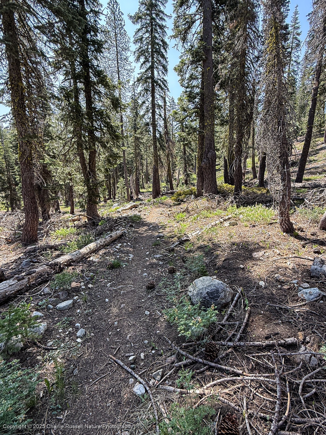
You can’t see the meadow from the parking lot. We took the right hand trail to go counter-clockwise around the loop. At first, the trail is a bit rough, leading through the trees.
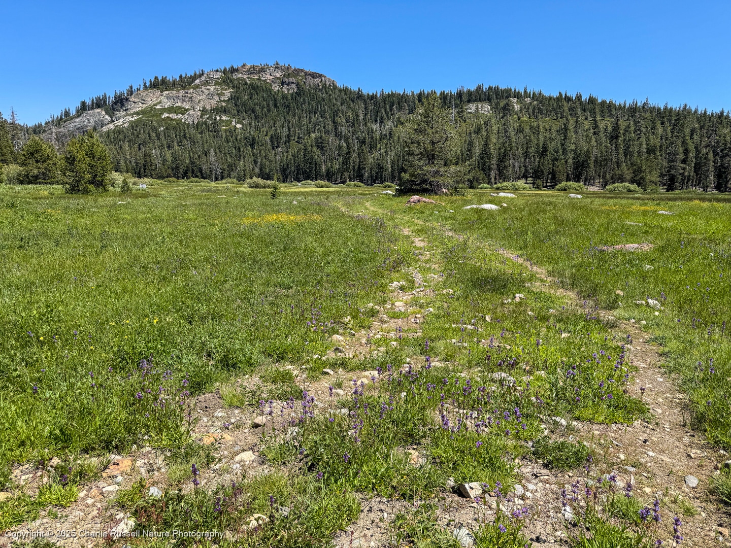
In a short distance you will reach the broad meadow. DO NOT wander into the meadow far from the trail, as this is a sensitive habitat. There are many flowers right along the trail.
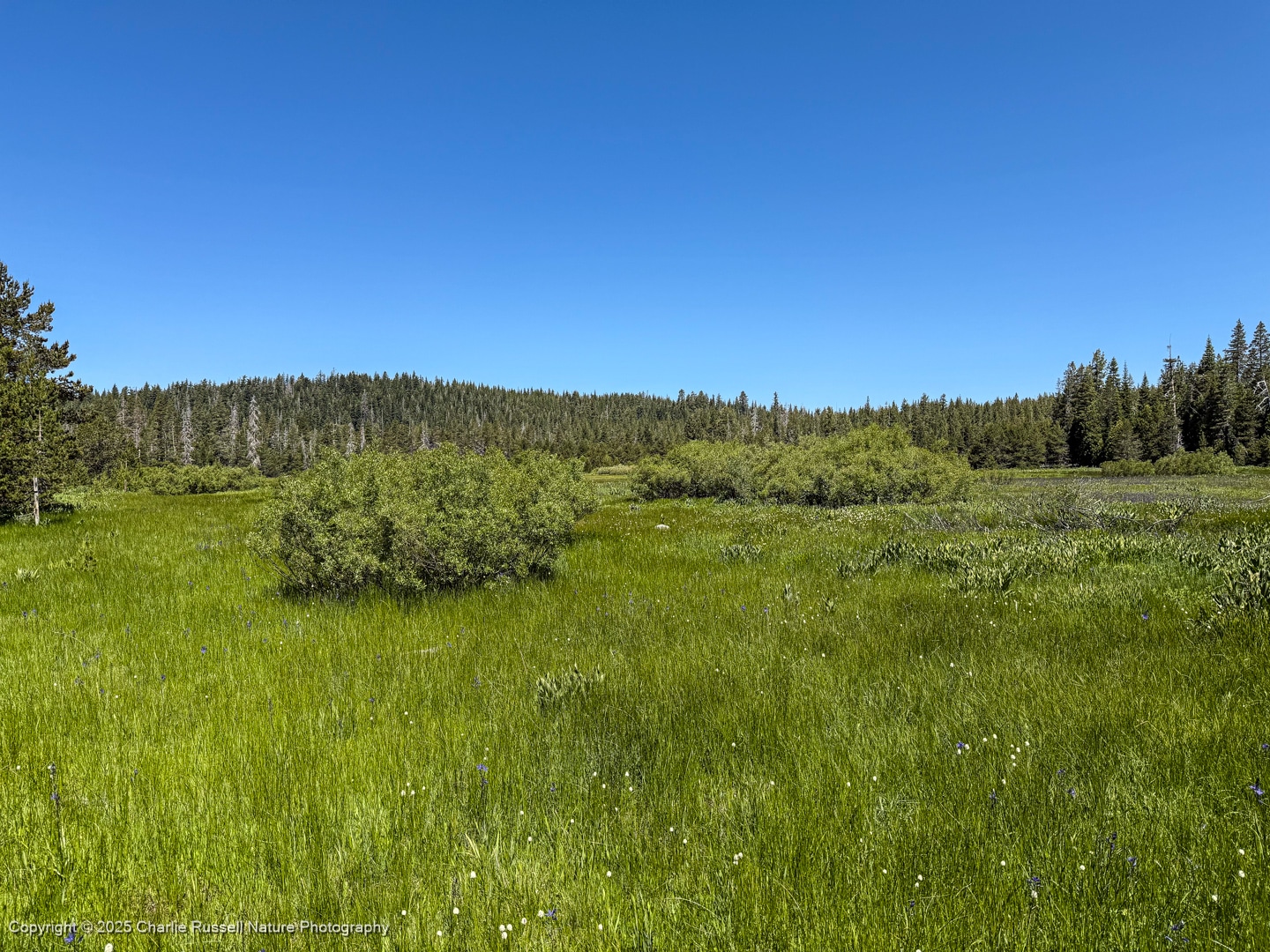
The trail wanders along the meadow, and then off into the trees for awhile, then back to the meadow. There is a creek that flows through the meadow, and at the far end of the meadow the trail has a nice wood bridge to cross the creek so you don’t get your feet wet.
The area around the creek has a nice selection of wildflowers that differs from what we found in other sections of the trail, such as columbine.
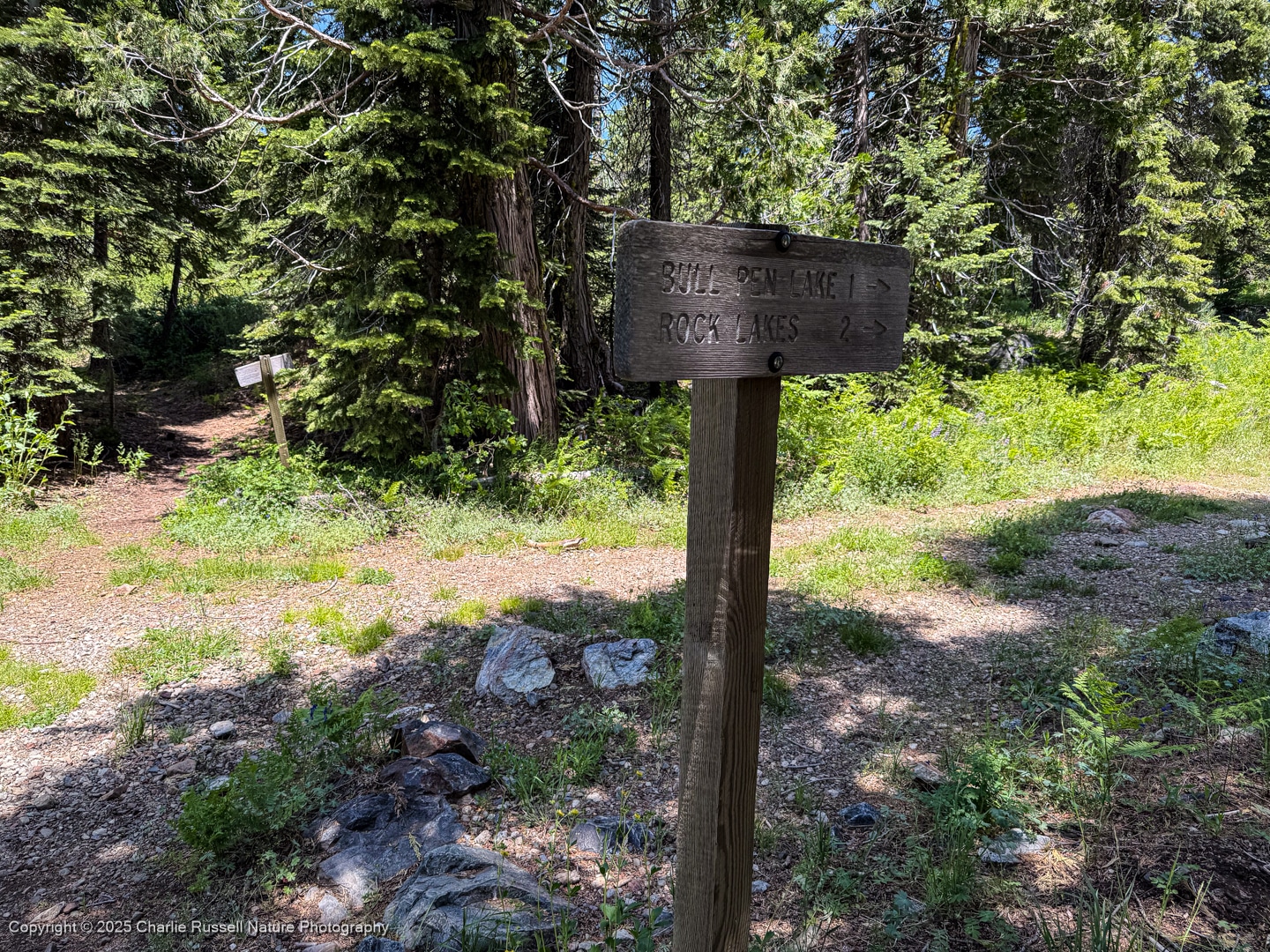
Past the bridge at the east end of the meadow there is a trail junction. There are three ways you can continue from here. To complete the loop you want to go hard left (again, we are hiking counter-clockwise). At this point the trail wanders up into the trees again, away from the meadow, but it will return.
There will be another trail junction at the north end of the loop. Again, turning left to keep on the meadow trail.
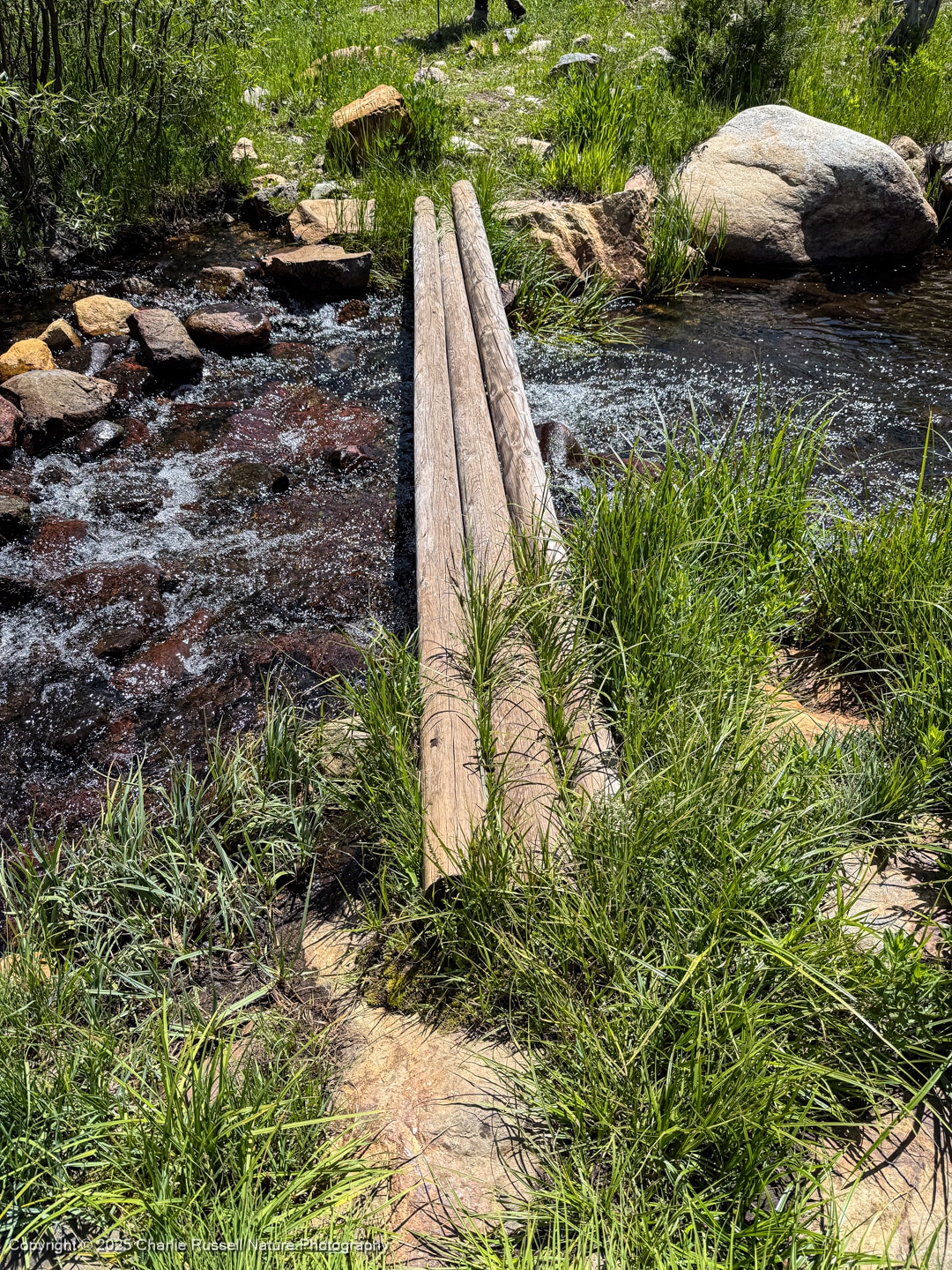
After this, the trail takes you out across the western portion of the meadow. You’ll cross the creek again, this time the crossing was a bit trickier.
Eventually you will cross the western section of the meadow, which is rocky and a bit dry. This is a great area to look for microflowers! It is interesting to see how the micro-habitats surrounding the meadow support a very wide diversity of native plants.
Move your mouse along the elevation graph to show the location on the map. The Refresh icon will re-center the map. The Expand icon will expand to full screen. Select “Details” if you want to download the track.
Directions
Getting to Loney Meadow can be a bit complicated if you aren’t familiar with the area. There are many crisscrossing roads that aren’t clearly marked. The USFS directions are vague. Worse than that, Google Maps tries to take you down bad roads that might be blocked. For our first visit we had to do a lot of backtracking. I have a GPX track that you can download, with the map below.
The track I show below was recorded as I made my way LEAVING the trailhead and heading back to the highway. That let me record the easiest path, without all the side trips to dead ends.
To start, you will take Bowman Lake Road from Highway 20. This is about 23 miles east of Nevada City, or roughly 4 miles west from the junction of Highway 20 and Highway 80. Continue about 10 miles north on Bowman Lake Road, at which point the paved road turns into a dirt/gravel road. On our visit we didn’t need a high clearance vehicle, but the road was a bit rough. You might not want to try this in a low slung sedan. There were places where the road was partially flooded, but the rock base was solid and we passed through easily in our Honda CR-V.
In the general area where the paved road ends, Google Maps shows that there is a junction with Lindsey Lake Road on your right. This is where it gets tricky. Google Maps wanted me to turn onto Lindsey Lake Road here, but this was blocked and unpassable. Instead, bear left to continue on Bowman Lake Road.
We continued about 0.3 mile to the next right turn. On Google Maps this might also be marked as Lindsey Lake Road, and at the time I’m writing this Google Maps doesn’t show any road connecting to Loney Meadow. But there is! In other mapping apps you will turn right here, on what my map shows as Black Camp Road. We followed this for about 1 mile until we reached the parking area for Loney Meadow.
The parking area is an irregular dirt open area with a Loney Meadow sign. Note that there are no restrooms at this site.
If you have a GPS app you can download the path we took to get there. I highly recommend Gaia GPS, which will help you navigate with my GPX track. That is what I used to record the track. Note that if you use Gaia GPS you will most likely need the paid subscription, which lets you download the track to your phone. You may need that, as you will probably not have cell coverage for the entire trip, and the free version requires cell coverage.
To get my GPX track, click the Details link at the right of the banner in the map below, then select GPX from the Export dropdown.
Flowers Along the Way
On our way out there were several other spots with interesting wildflowers. I’ve marked one of them on the map, just north of the turnoff for Rucker Lake Road. There were big displays of Wild hyacinth (Triteleia hyacinthina), Sierra mariposa lily )Calochortus minimus), and either Naked mariposa lily (Calochortus nudus) or a cross between those two Calochortus species (they hybridize often). Pictures coming soon.
Timing is Everything
We visited this in mid June 2025 and there was a wonderful bounty of wildflowers. You could come earlier in the year – on this visit the shooting stars were just about finished, the fawn lilies had already set seed. The only concern for an earlier visit would be if the dirt road would have more flooded/wet sections, and there would be more water crossings on the trail. You also could come later, as there were many flowers that were still in bud this time.
It was a nice day for a hike, a bit breezy with temperatures in the low 70’s. Bring bug spray – there were mosquitoes and other biting insects present. Not too bad, they were just annoying. There were LOTS of butterflies about.
Loney Meadow Wildflowers Listing
Any plants listed in color are endemic to California (that is, found only in California and possibly a bit into Baja California). “nif” means “not in flower”. CNPS numbers are ratings for rare plants by the California Native Plant Society (see my explanation of CNPS ranks). In most cases the scientific name will be a link to a reference source such as Calflora or possibly one of my species pages.
Note that this is not (yet) a complete listing of what we found, I’m still going through the thousands of photos that I took on this visit!
Here’s a listing of the native plants that we found on this visit.
- Utah service berry, Amelanchier utahensis
- Western columbine, Aquilegia formosa
- Dusky onion, Allium campanulatum
- Moss, Bartramiaceae
- American bistort, Bistorta bistortoides
- One seeded pussypaws, Calyptridium monospermum
- Small camas, Camassia quamash ssp. breviflora
- Wavy leaf paintbrush, Castilleja applegatei
- Hairy paintbrush, Castilleja tenuis
- Little prince’s pine, Chimaphila menziesii
- Few flowered collinsia, Collinsia sparsiflora var. sparsiflora
- Torrey’s blue eyed mary, Collinsia torreyi
- Staining Collomia, Collomia tinctoria
- Spotted coralroot, Corallorhiza maculata
- Pacific bleeding heart, Dicentra formosa
- Austin’s woodbeauty, Drymocallis lactea var. austiniae
- Glaucus willowherb Epilobium glaberrimum
- Common horsetail, Equisetum arvense
- King’s Sandwort, Eremogone kingii
- Wandering fleabane, Erigeron glacialis
- Sulphur buckwheat, Eriogonum umbellatum
- Brewer’s monkeyflower, Erythranthe breweri
- Musk monkeyflower, Erythranthe moschata
- Primrose monkeyflower, Erythranthe primuloides
- Purple Fawn Lily, Erythronium purpurascens (nif)
- Diffuse groundsmoke, Gayophytum diffusum
- Streambank Bird’s-foot Trefoil, Hosackia oblongifolia var. oblongifolia
- Tinker’s penny, Hypericum anagalloides
- Whiskerbrush, Leptosiphon ciliatus
- Three leaved lewisia, Lewisia triphylla
- Alpine lily (aka Sierra tiger lily), Lilium parvum
- Lupine sp.
- Toad lily, Montia chamissoi
- Bridges’ Pincushionplan, Navarretia leptalea
- Pinewoods lousewort, Pedicularis semibarbata
- Waterleaf phacelia, Phacelia hydrophylloides
- Changeable phacelia, Phacelia mutabilis
- Popcornflower, Plagiobothrys sp.
- Sierra bog orchid, Platanthera dilatata var. leucostachys
- Sierra shooting star, Primula jeffreyi
- Sticky currant, Ribes viscosissimum
- Waxy checkerbloom, Sidalcea glaucescens
- Douglas’ catchfly, Silene douglasii var. douglasii
- Mountain jewelflower, Streptanthus tortuosus
- Western blue eyed grass, Sisyrinchium bellum
- Mountain pretty face, Triteleia ixioides ssp. anilina
- California corn lily (California false hellebore), Veratrum californicum var. californicum
- Western dog violet, Viola adunca ssp. adunca
- Goosefoot violet, Viola purpurea
We also found the following:
- Metallic wood-boring beetle , Acmaeodera connexa
- Jewel beetle, Anthaxia sp.
- Aggregating Harvestman, Nelima paessleri
Did you find this article helpful? Interesting? Please leave a comment, it helps me understand what people are looking for.
In addition, I don’t hide my content behind a paywall, but if you would like to help me cover my costs, please consider clicking the button below to make a small donation. Thank you!


