One of my favorite summer wildflower areas is the Carson Pass area in Alpine County. If you can time it right you will find beautiful hillside gardens full of wildflowers. We visited this area in mid July 2010 and hiked on the trail towards Meiss Lake, stopping at a meadow along the way. I knew it was going to be a great day for flowers – I had already taken 30 pictures of flowers before we even left the parking lot area.
It didn’t take long to find masses of wildflowers just a short distance in. As we were marveling at the abundance of flowers, people coming back down the trail said kept saying “it’s going to get better!”.
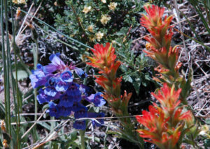
It did…
Note: Click on any photograph to see a larger image
The Hike
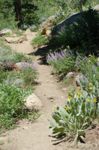
The hike wasn’t difficult (particularly since I was stopping every 10 feet to take pictures). The starting elevation is around 8200 feet.
As I said before, I was taking pictures even before we got out of the parking lot!
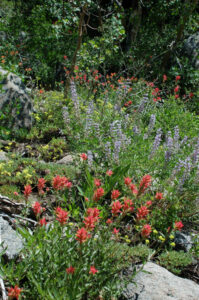
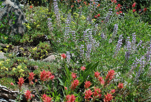
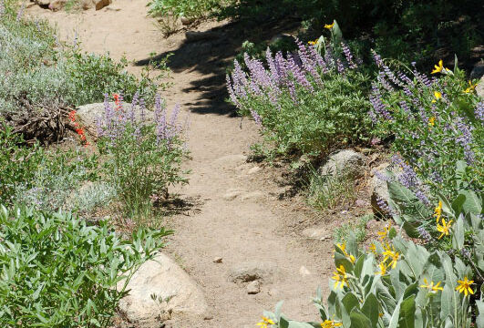
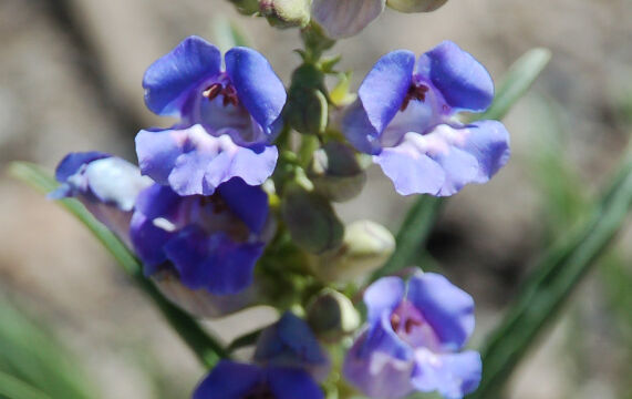
The trail starts with a moderate climb through an area of boulders and Jeffrey pine. If the day is warm you will enjoy the occasional shady spot. The trail was lined with quite an array of flowers, with Lupine, Mules Ear, Penstemon and Paintbrush.
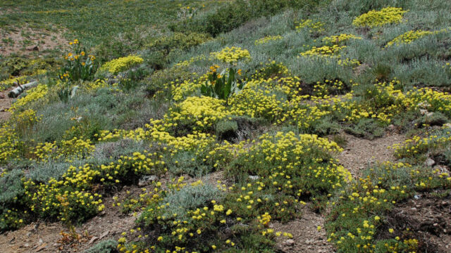
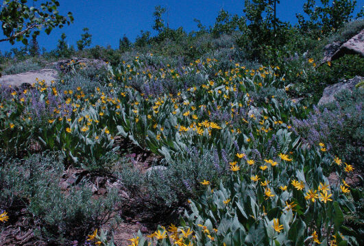
Soon you are surrounded by a wonderful garden of flowers. You would think that someone had spent hours arranging amongst the boulders along the way. It was an incredible display, starting just a quarter of a mile in and increasing in density as you go along.
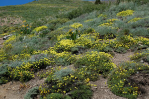
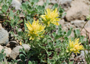
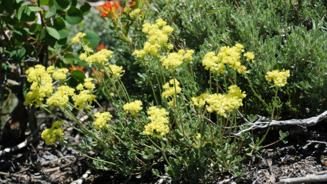
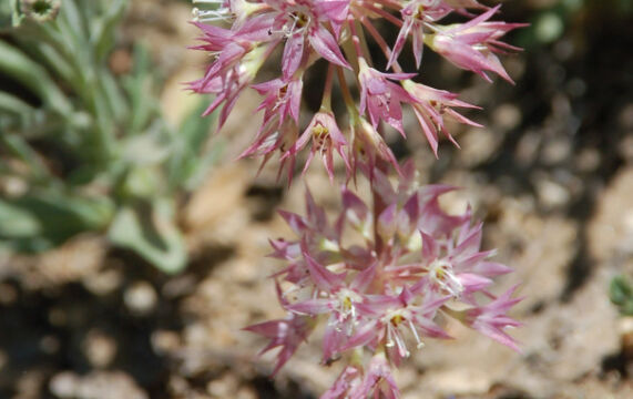
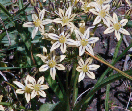
After awhile you move out onto the hillside, out of the trees. The trail wanders up through a number of switchbacks as you climb at a fairly steady, but not difficult, rate. This more exposed area presents a different collection of flowers, including Sulphur Flower, Mariposa Lily, Sierra Onion and more.
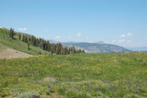
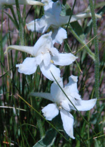
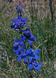
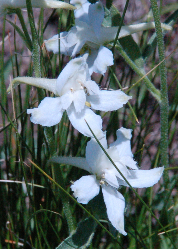
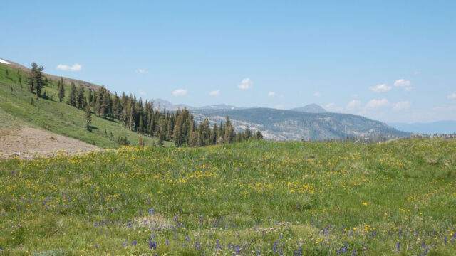
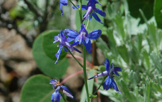
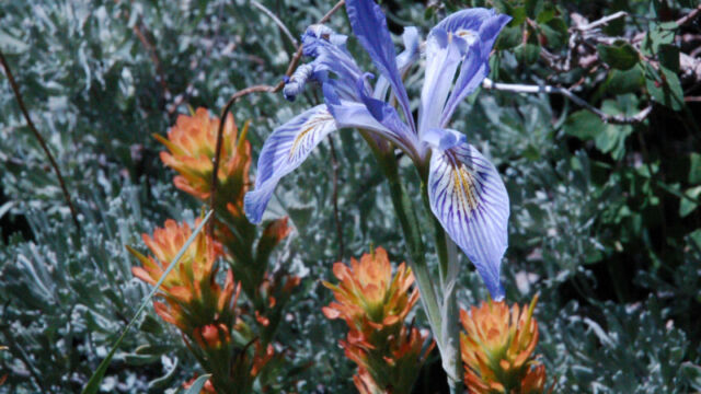
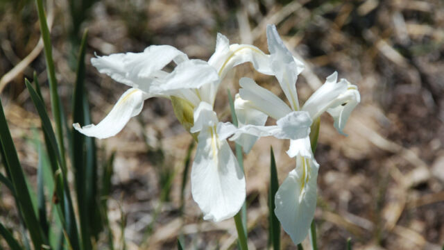
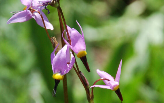
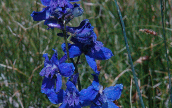
This picture doesn’t do justice. There was an Iris garden, hundreds of blue and white Iris. Shooting Stars, Pretty Face, Penstemon, Larkspur, Prairie Smoke, quite a variety.
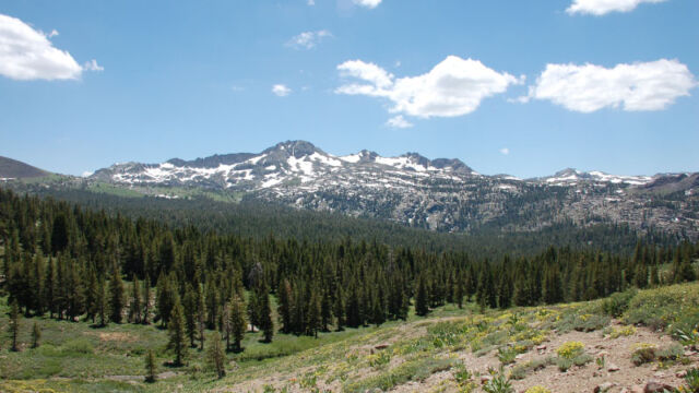
Not a lot of trees. There was a pond, a marshy area, drier areas, so there was an opportunity for many different kinds of flowers. We did find one stand of trees that provided shade for lunch, but we had to clamber over a deep stream bed, up a hillside, and across some patches of snow.
Timing is Everything
This trail heads north up the hillsides from the highway and it has a different exposure than those you will find on the Winnemucca Lake trail that heads south from the highway. This means that the wildflowers on this trail hit their peak bloom a week or so before the other trail. Be sure to stop at the Carson Pass Information Station just up the road to get the latest information on which trail to take. This is manned by volunteers from the El Dorado National Forest Interpretive Association (ENFIA), and they are a wonderful source for information on the area. You can (as I did several times) call them at (209) 258-8606 to get a reading on when the flowers will be at their peak.
We hiked on this trail in mid July. The weather was excellent, a clear sunny day with temperatures reaching the low to mid 80’s. It was a bit warm in the exposed areas, but on the hike up there are several large Jeffrey pines right on the trail, and we found a group of trees at the meadow (a bit aways from the trail) where we could rest in the shade and eat our lunch.
Directions
The trailhead is on Highway 88 past the Kirkwood ski resort area in Northern California.
From Sacramento take Highway 16 east until it meets Highway 49. Head south on 59 to Jackson. From there go east on Highway 88. It is roughly 55 miles to the Kirkwood Inn and Station (just past the Kirkwood ski resort). Continue on 88 past Caples Lake, at about 5 miles you will see the Meiss Lake parking lot on your left (north). If you miss this, just two tenths of a mile later you will see the Carson Pass Information Center that I mentioned above, on your right.
Sometimes the Meiss Lake trailhead parking lot is full, so try the parking lot at the Information Center. If that lot is full then just past this there is a road on the south side (Red Vista Road) that serves as overflow. Sometimes people will squeeze in on that narrow side road – I found that if you go down several hundred feet there is a broad lookout parking area that is often empty (who cares if you have to hike uphill some more, you are going on a long hike anyways). There were flowers to view even on this side road.
If you are in the South Lake Tahoe area you can take Highway 8outh from near the airport to Highway 88 (about 11 miles) and then turn right (west). The Carson Pass Information Center is about 9 miles to the west.
The Flowers
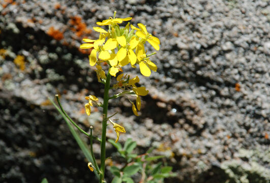
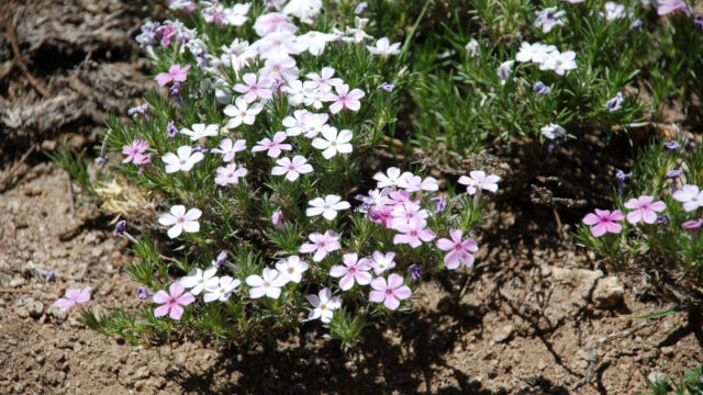
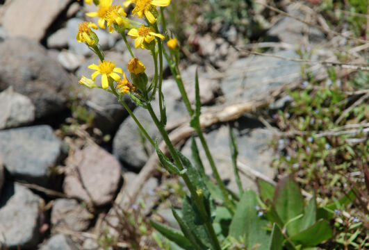
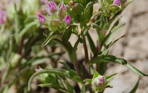
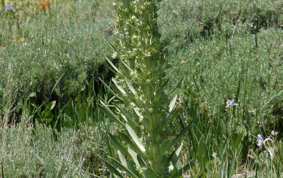
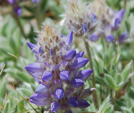
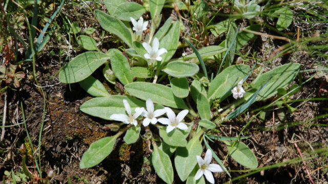
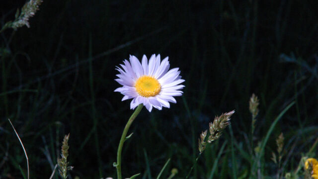
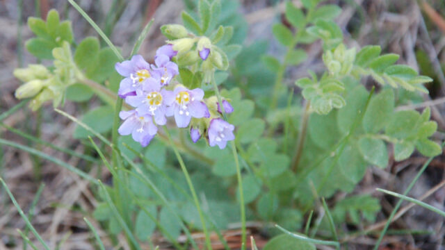
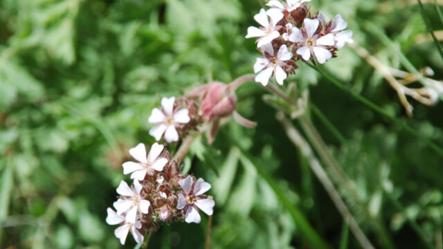
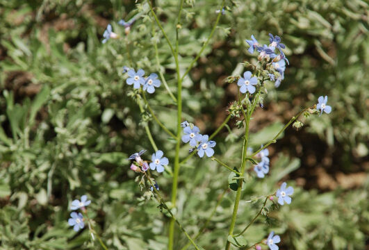
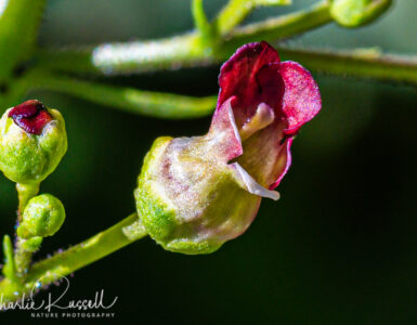
Please feel free to help me with the identification of any “unidentified” flowers listed here, as well as correcting any errors I may make. Click on any photograph to see a larger image. I’ll start with a few favorites, and then the “gallery”. All pictures were taken with a Nikkor 18-135mm zoom lens.
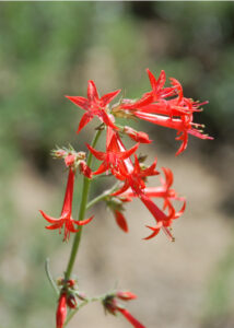
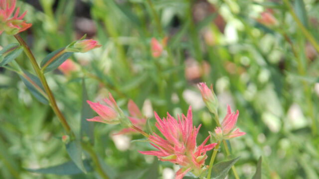
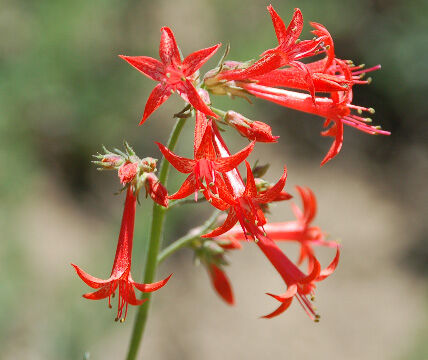
Scarlett Gilia is a very showy flower, it reminds me of the Fuschia that I have in my backyard garden.
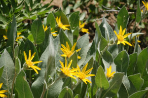
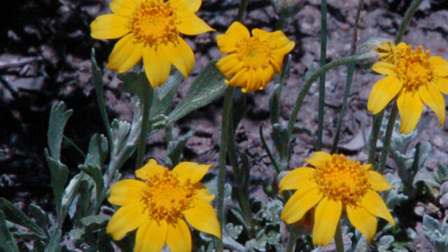
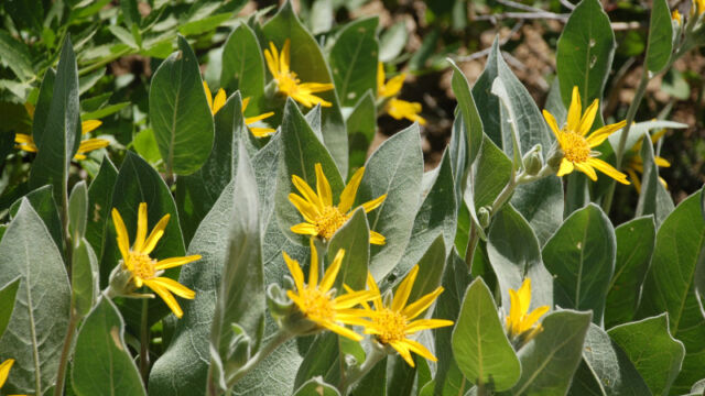
There was an abundance of Mule Ears. Whole hillsides of them. They actually were quite showy in those big masses.
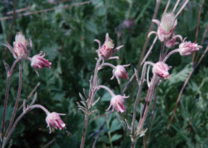
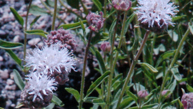
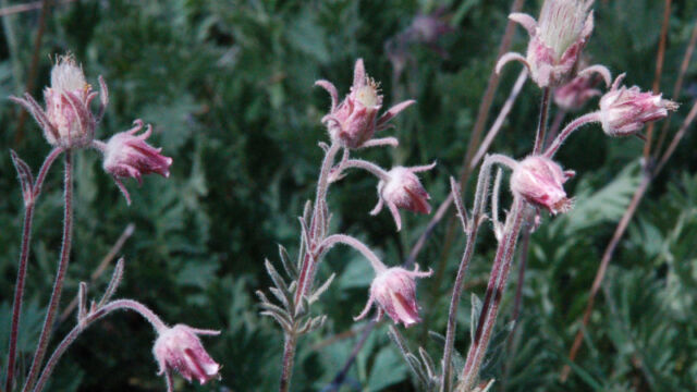
This was a new one for me – Prairie Smoke or Old Man’s Whiskers. Just starting to open up.
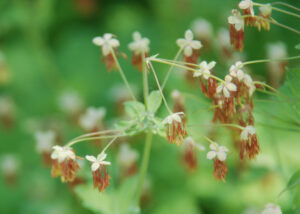
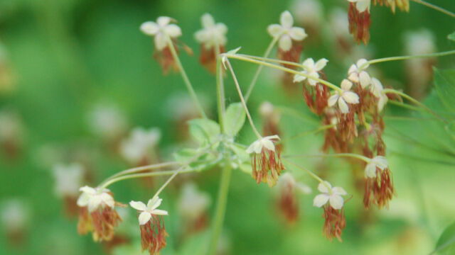
Another odd one, Fendler’s Meadow Rue. Not a great picture, it was breezy. There are separate male and female plants (this is the male).
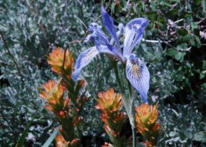
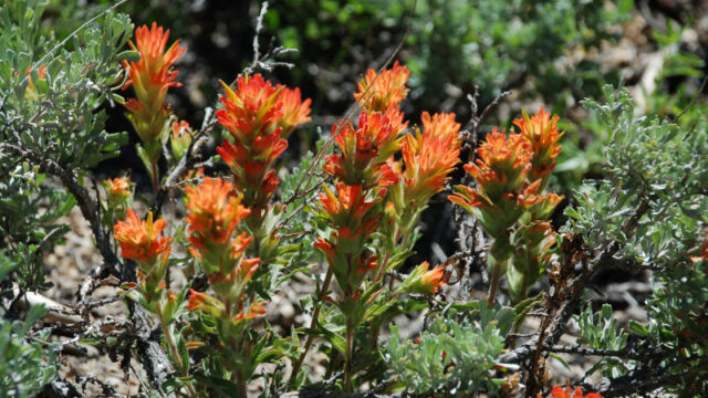
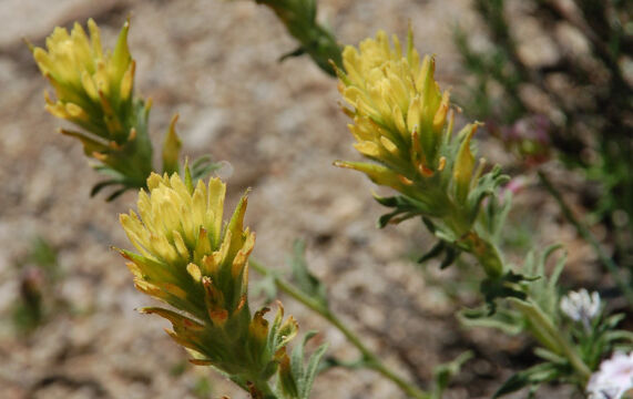
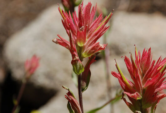
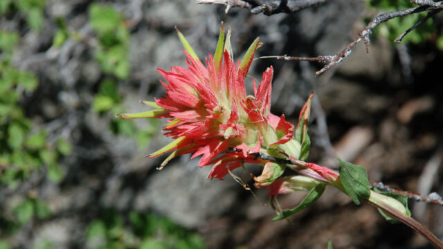
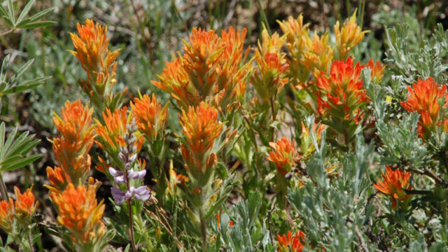
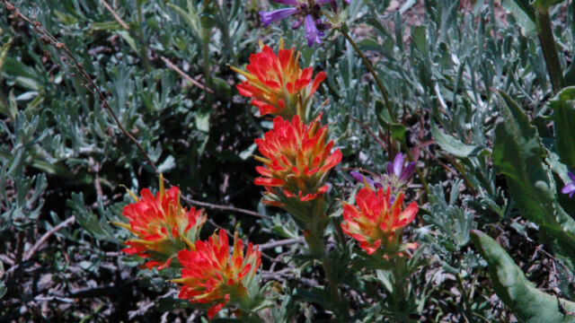
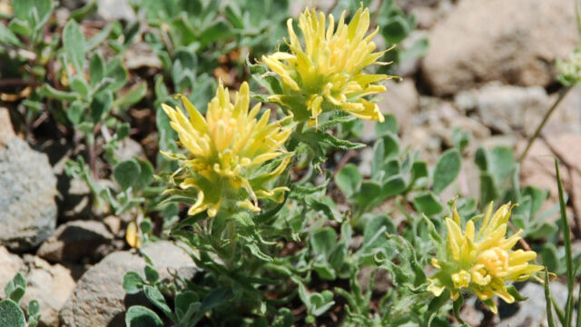
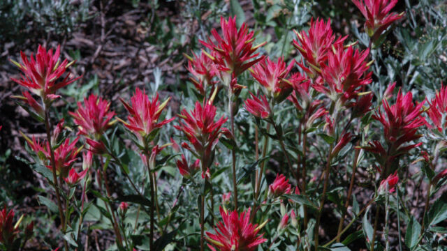
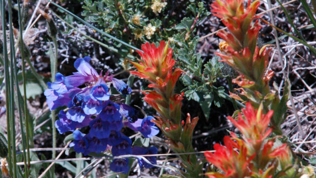
A hike isn’t complete (for me) until I find a Paintbrush. There were quite a few color variations on this hike. This is an interesting one because there are red and orange variants on this same hike, all from the same subspecies (see pictures in the gallery).
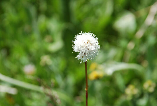
If you click on the lightbox image below you will see larger versions of the photos, and you can scroll through all of the plants (and other things) that we found on this hike. All photos are available for purchase in a variety of formats.


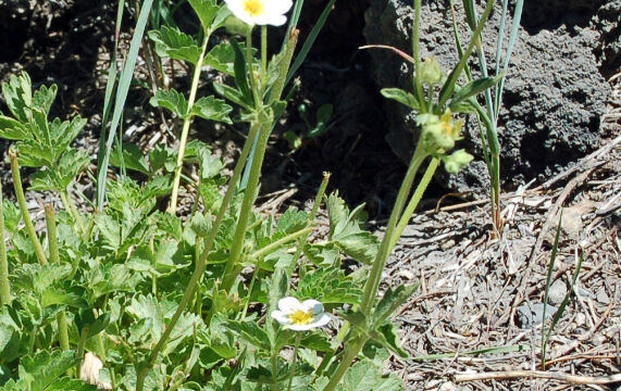
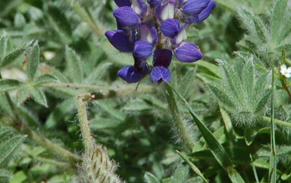
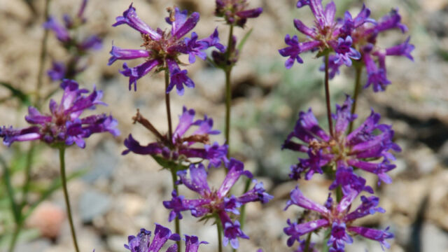
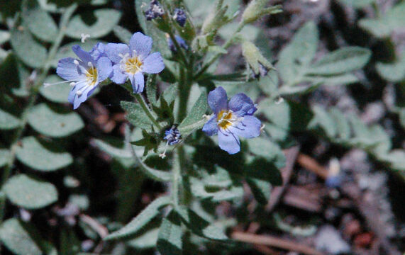
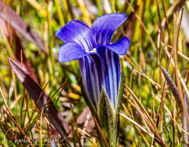
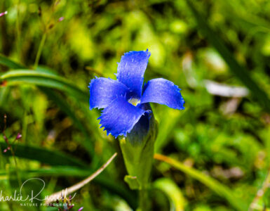
Does anyone know what the ground cover shrub with tiny tear drop green leaves that sprouts tiny acorns is called ? We keep seeing it on our hikes around Tahoe and we couldn’t believe that they look so much like acorns!
Sorry, Eleanor, that doesn’t strike a bell with me – perhaps you could post a picture on Flickr or something like that, and put a link here, so we can see?
Sounds like “huckleberry oak”
A good suggestion, Sharon!
Info on this can be found at https://www.calflora.org/app/taxon?crn=7009
I really enjoyed your articles. I’m also a Quickbooks Pro-Advisor.
Or son is in a Master’s in Statistics program at UCLA. We go to LA frquently from Houston. Can you recommend any good hiking areas near LA & the best time of the year for these hikes? Thank you very much, Judy Arfa
Judy, one of my favorite areas is around Malibu. The Circle X Ranch area, and Mishe Mokwa trail, are good (and a nice workout as there can be some good elevation changes). Other than that I haven’t done a lot in the area (yet). These hikes can be good any time it isn’t raining a lot, but if you want wildflowers then you’ll go in the Spring. Timing is tough because it can be really variable depending on the prior season’s rainfall.