You can still find wildflowers late in the summer if you head up to the higher elevations. We visited Grass Lake near the end of August, and there were plenty of flowers of interest.
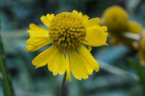
This hike starts just past Fallen Leaf Lake near South Lake Tahoe. Lots of water in the lakes and stream, but no mosquitoes!
Note: Click on any photograph to see a larger image.
The Hike
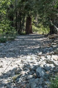
The hike to Grass Lake starts at the Glen Alpine trailhead. Our out-and-back trip was about 6 miles total, starting at 6500 feet and climbing to about 7200 feet.
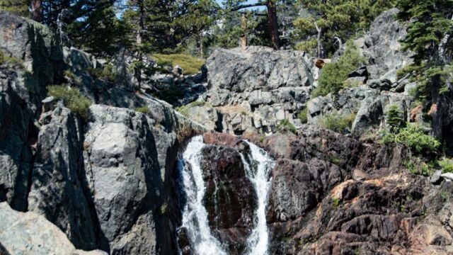
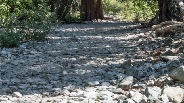
The first part follows a rough road that leads to the old Glen Alpine Springs Resort. Although the road is wide and well marked, this section was a bit uncomfortable to hike because the trail surface is composed of broken rocks. We were glad we had our trekking poles, especially on the return. There is a nice view of a waterfall along this section.
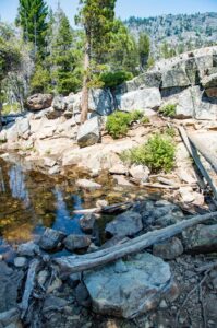
Eventually you come to the Glen Alpine Springs Resort, which was one of the first “resorts” in the Lake Tahoe area. Founded in 1878, it operated until 1966. There are a number of signs explaining the history of the area, and the “soda spring” is still there.
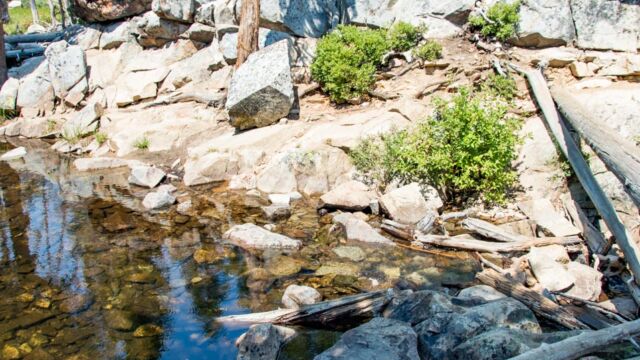
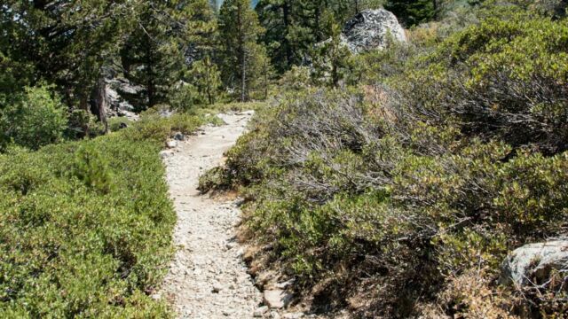
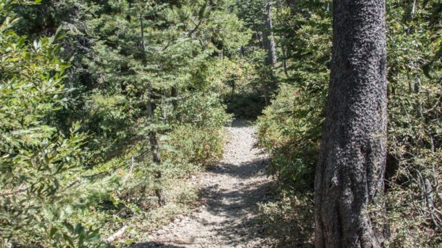
Climbing past the resort the path narrows and you start to scramble more. There are several stream crossings. Earlier in the season you are likely to get wet feet. This late, though, there were only two crossings where we had to find logs or hop on the rocks.
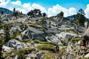
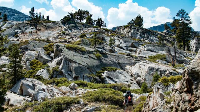
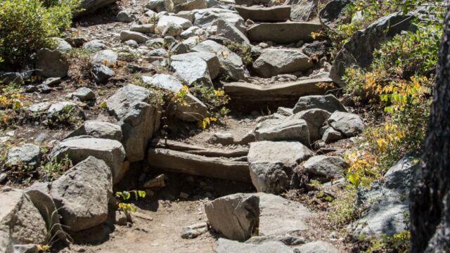
You are hiking out into the Desolation Wilderness, rugged but very beautiful terrain. As you climb up to the lake area you’ll find that the trail is well maintained, with stairs built out of rock in the rough patches. The only time where we weren’t sure about the trail was at the stream crossings, but other hikers have marked the trail with cairns.
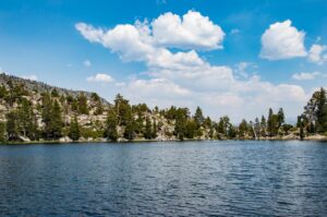
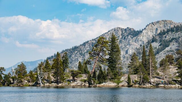
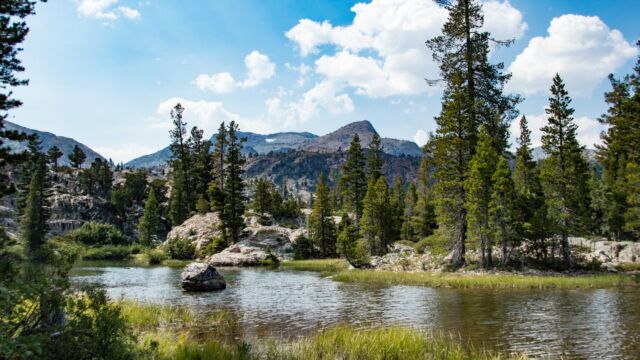
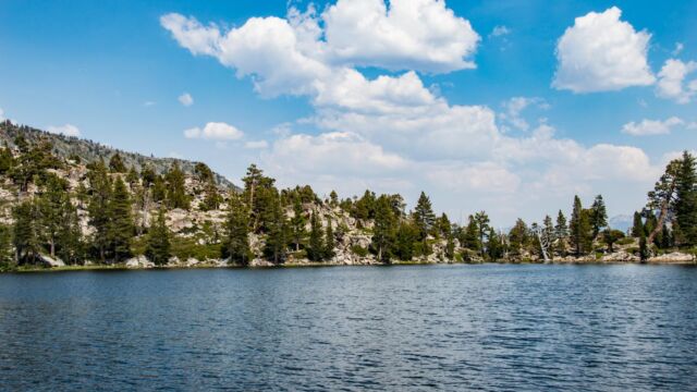
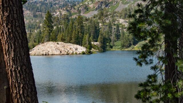
The lake is beautiful! We didn’t run into any mosquitoes, although I expect that may be an issue earlier in the year when the meadows are wetter. We did, however, have an issue with yellow jackets in some places. Don’t stop to eat lunch in any area where there are a lot of downed, decaying trees, which is where the yellow jackets build their nests.
Grass Lake
Profile
Click the track to see an elevation graph. Move your mouse along the elevation graph to show the location on the map. The Refresh icon will re-center the map.
Timing is Everything
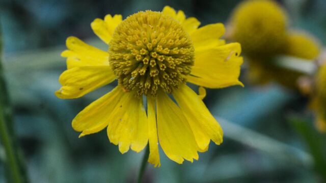
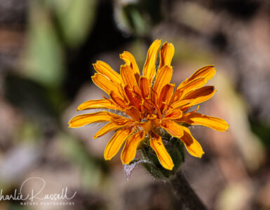
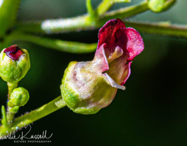
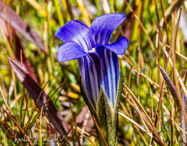
This was late August, temperatures reached the low 80’s. There is a lot of shade along the way, but several sections were exposed to the sun. We didn’t see a lot of wildflowers, but we did find some that we’ve not seen before. If you come earlier in the year there will be a greater variety. The trail runs along Glen Alpine Creek, and there are several meadows that will be much wetter earlier in the year. The advantage of hiking this late in the summer is that things are drier, so you don’t have a lot of mosquitoes to contend with, and stream crossings will be easier.
The first section of this trail is very popular, there were lots of people hiking out to the resort. Past that, when the trail gets steeper, we saw fewer people, but this still isn’t a hike you take if you want solitude.
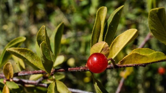
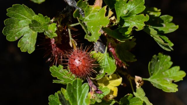
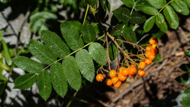
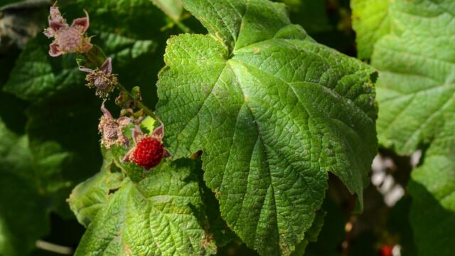
One of the fun parts of hiking in this season is that you see lots of berries. A different kind of color to photograph! Be careful, though, some of these can be moderately toxic (like Bitter Cherries), so please don’t eat anything that you haven’t clearly identified.
Directions
From the junction of Highway 50 and Highway 89 in South Lake Tahoe head towards Emerald Bay on 89. After about 3 miles you will see signs for Fallen Leaf Road on the south side of the highway (away from the lake).
Follow this road for 5.5 miles, passing Fallen Leaf Lake, until you reach the Glen Alpine Trailhead (search for 1580 Glen Alpine Road, South Lake Tahoe, CA 96150 on Google maps). Note that sections of this road are very narrow, and you often have to pull off to the side to let people pass in the other direction.
The trailhead is at the end of the road. There are parking spots, but it can easily fill up. We arrived before 11:00 am on a weekday and found a good parking spot. By the time we left late in the day, people were parked all along the road and had to hike up to the trailhead. There are well maintained pit toilets at the trailhead, but nothing along the hike itself.
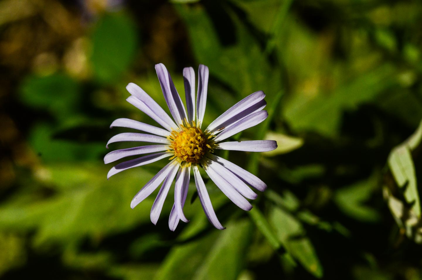
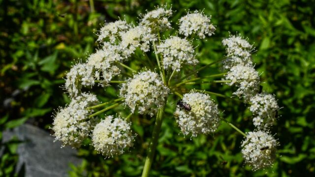
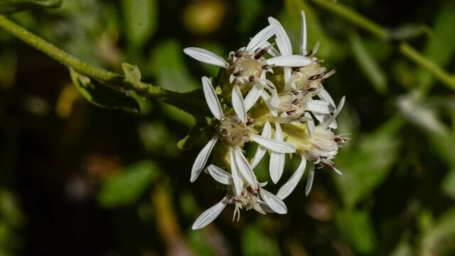
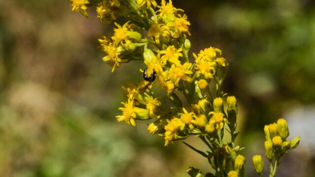
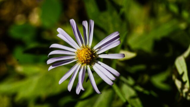
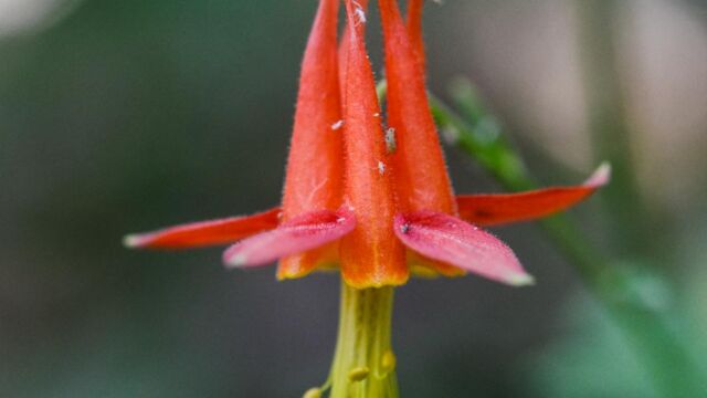
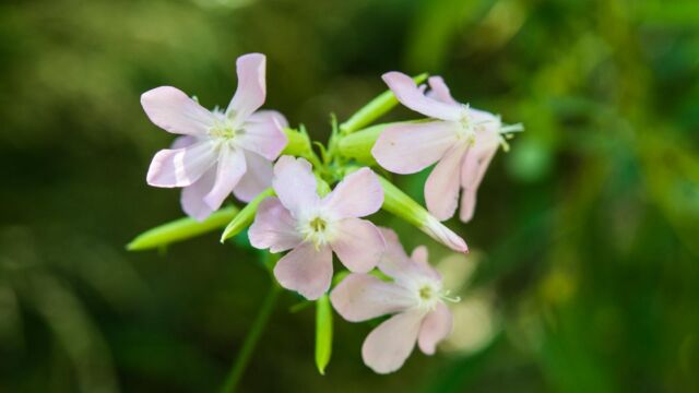
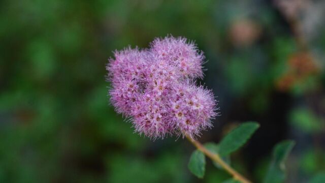
Grass Lake Flowers
Please feel free to help me with the identification of any “unidentified” flowers listed here, as well as correcting any errors I may make.
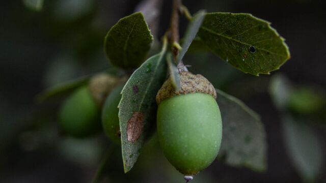
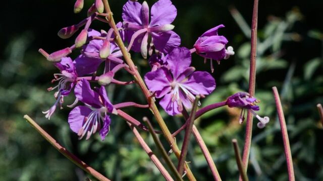
To view the picture gallery, click on the larger photo below, then you can page through the gallery just by continuing to click on the images. If you recognize any that are marked “unknown” then please leave a comment (or, if I have misidentified any, let me know). Thanks!


Add comment